Cartworth in the Domesday Book (1086)
Cartworth appears in the Domesday Book of 1086, entered under the hundred of Agbrigg in Yorkshire.
Other Settlements in Agbrigg
- Ackton
- Almondbury
- Austonley
- Bradley
- Crigglestone
- Crofton
- Dalton
- Emley
- Farnley [Tyas]
- Flockton
- Fulstone
- Golcar
- Hepworth
- Holme
The Meaning of the Name
The name Cartworth is of Anglo-Saxon origin. Its final element derives from the Old English word worð, an enclosure or homestead. The first element is most likely a personal name or an early descriptive term, now difficult to recover with certainty. Taken together the name probably meant something close to ‘a enclosure’.
Remarkably, the name has changed little since 1086, when the Domesday scribes wrote it as Cartworth.
Listed Buildings Near Cartworth
Historic England records 84 listed buildings within about a mile of Cartworth. Listing protects structures of special architectural or historic interest, graded I (exceptional), II* (particularly important) and II.
Grade II
- 57, Under Bank Old Road - 0.07 km
- 59,61, Sweep Lane - 0.09 km
- 7 Miles Post 50 Yards South of Junction With Washpit New Road - 0.16 km
- 6,8, Low Gate - 0.22 km
- 106,112, Dunford Road - 0.31 km
- 6, Well Hill Underbank Old Road - 0.32 km
- 22,26, Cinderhills Road - 0.33 km
- 40,42,44, Cinderhills Road - 0.36 km
- 21,23, Cinderhills Road - 0.4 km
- 2,3,4,5,6, Gully Terrace - 0.42 km
- 35,37, Dunford Road - 0.45 km
- 5, Cinderhills Road - 0.45 km
- 59,61, South Lane - 0.51 km
- 127,129, Dunford Road - 0.52 km
- The Olde House - 0.65 km
- Ward Place House to East of Group - 0.68 km
- Ward Place House and Barn to West of Group - 0.7 km
- 23,25,27, South Lane - 0.71 km
- Troughs Opposite No29 - 0.73 km
- The Vicarage - 0.73 km
- 4, Towngate - 0.77 km
- New Row - 0.77 km
- 12, New Fold - 0.78 km
- 13, New Fold - 0.78 km
…and 60 more listed structures in the area.
Cartworth Today
Today Cartworth lies within the administrative area of Holme Valley.
Nearby Domesday Settlements
Other places recorded in the 1086 survey within a few miles:
- Wooldale - 1.4 km NE
- Upperthong - 2.2 km NW
- Hepworth - 2.2 km SE
- Austonley - 3.0 km W
- Fulstone - 3.6 km NE
- Thurstonland - 3.6 km NE
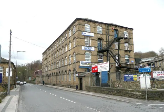
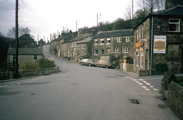
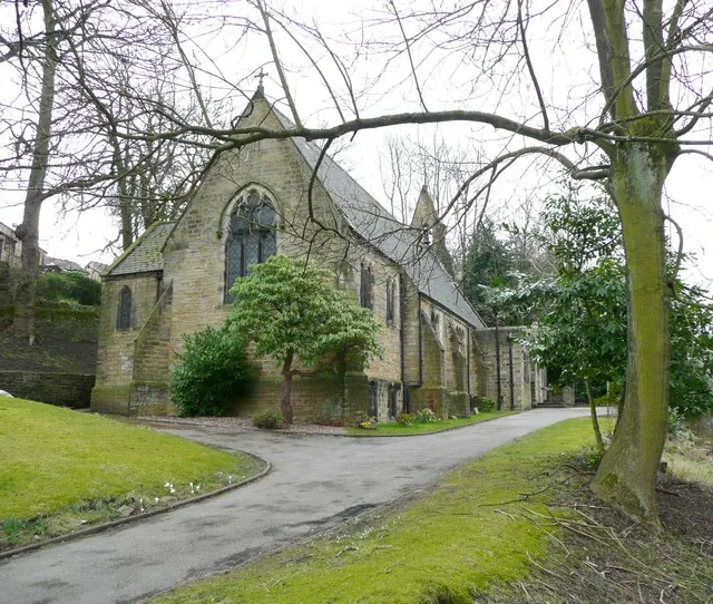
Heritage Around Cartworth
Photographs of churches, listed buildings and monuments in the vicinity, contributed by volunteers to the Geograph project and reused here under a Creative Commons licence.
© Humphrey Bolton · Geograph · CC BY-SA 2.0
© Dr Neil Clifton · Geograph · CC BY-SA 2.0
© Humphrey Bolton · Geograph · CC BY-SA 2.0
Images © their respective photographers, licensed under CC BY-SA 2.0 and reused here with attribution. Photographs depict listed buildings, churches and monuments near this settlement and may show neighbouring villages.
Data derived from the Open Domesday project (opendomesday.org), based on the Domesday Book dataset compiled by Professor J.J.N. Palmer and team. The Domesday Book (1086) is in the public domain.
Found an inaccuracy? [email protected]