Cartmel in the Domesday Book (1086)
The 1086 Domesday survey records the settlement of Cartmel, entered under the hundred of Amounderness in Yorkshire. The survey assessed Cartmel at 5.4 carucates of taxable land.
At the time of the survey, Cartmel supported a recorded population of 6 villagers, 10 smallholders, 23 freemanmen, working 10 ploughs between them.
By 1086 Cartmel was worth 7.3 shillings, up from 4.5 shillings before the Conquest – which sets it apart from the many nearby villages left waste or devalued.
2 of 7 manors within Cartmel are recorded as waste in 1086, with the remainder still productive. This partial devastation suggests the settlement was caught in the path of the Harrying of the North but not entirely destroyed - or that recovery had begun in some holdings by the time of the survey.
The survey lists 7 manors at Cartmel under different lords. Splitting a single settlement between multiple tenants was common across the North – Saxon estates broken up and handed to William’s followers after 1066.
Resources Recorded at Cartmel (1086)
- Meadow: 100 acres
Other Settlements in Amounderness
- Aighton
- Aldcliffe
- Aldingham
- Arkholme
- Aschebi
- Ashton [Hall]
- Ashton [on Ribble]
- Austwick
- Barbon
- Bardsea
- Bare
- Barnoldswick
- Barton
- Beetham
The Meaning of the Name
The origin of the name Cartmel is not securely established from its modern form alone; like many settlement names in the North it likely combines an Old English or Old Norse personal name with a landscape term.
Remarkably, the name has changed little since 1086, when the Domesday scribes wrote it as Cartmel.
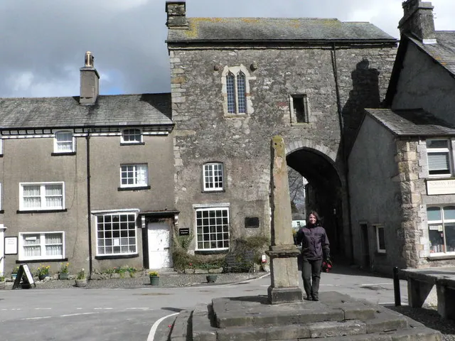
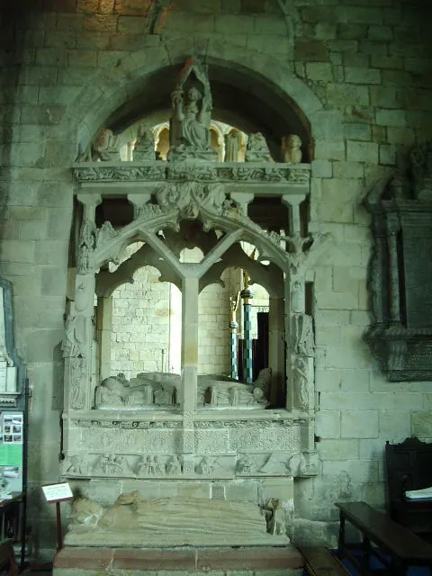
Listed Buildings Near Cartmel
Historic England records 78 listed buildings within about a mile of Cartmel. Listing protects structures of special architectural or historic interest, graded I (exceptional), II* (particularly important) and II.
Grade II*
Grade II
- Post Office - 0.36 km
- Bank Court P Smith’s Bookshop Town Close, With Decorative Cobbled Paving - 0.36 km
- Priory Guesthouse and Shop (Tarragon) and Cobbled Paving - 0.36 km
- Park Beck Cottage - 0.36 km
- Old Barn Cottage and Cobbled Paving - 0.36 km
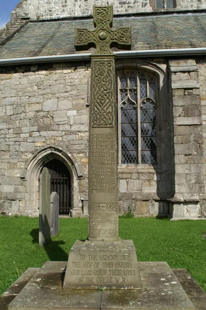
- Cross and Fish Stone - 0.37 km
- Royal Oak Public House - 0.37 km
- Former National Westminster Bank and Nat West Bank House and Cobbled Paving - 0.37 km
- Former Kingsleys of Cartmel - 0.37 km
- Park House - 0.37 km
- Parkside House and Adjacent Barn - 0.38 km
- Market Cross Cottage and Gatehouse (West Bay) - 0.38 km
- Wharton - 0.38 km
- Lock-up Shop (Kerr & Sons Bookshop) - 0.38 km
- Ford House - 0.38 km
- Village Lock-up - 0.39 km
- Tower Cottage and Bay to Left, Part of Gatehouse - 0.39 km
- Church Town House - 0.39 km
- Priory Hotel - 0.4 km
- Kings Arms Public House - 0.4 km
- Cavendish Cottage - 0.4 km
- Gatehouse Cottage - 0.4 km
- Church Bridge - 0.41 km
…and 54 more listed structures in the area.
Scheduled Monuments Near Cartmel
Scheduled monuments are nationally important archaeological sites given legal protection. 1 lies within roughly a mile of Cartmel:
Cartmel Today
Today Cartmel lies within the administrative area of Lower Allithwaite.
Read more about modern Cartmel on Wikipedia .
Nearby Domesday Settlements
Other places recorded in the 1086 survey within a few miles:
- Walton Hall - 1.0 km W
- Birkby Hall - 1.0 km S
- Holker - 1.4 km SW
- High Newton - 5.8 km NE
- Bardsea - 8.0 km SW
- Ulverston - 9.0 km W
Heritage Around Cartmel
Photographs of churches, listed buildings and monuments in the vicinity, contributed by volunteers to the Geograph project and reused here under a Creative Commons licence.
© John Berry · Geograph · CC BY-SA 2.0
© Alexander P Kapp · Geograph · CC BY-SA 2.0
© David Long · Geograph · CC BY-SA 2.0
Images © their respective photographers, licensed under CC BY-SA 2.0 and reused here with attribution. Photographs depict listed buildings, churches and monuments near this settlement and may show neighbouring villages.
Data derived from the Open Domesday project (opendomesday.org), based on the Domesday Book dataset compiled by Professor J.J.N. Palmer and team. The Domesday Book (1086) is in the public domain.
Found an inaccuracy? [email protected]