Carnforth in the Domesday Book (1086)
Carnforth is named in the Domesday Book, compiled by Norman commissioners in 1086, entered under the hundred of Amounderness in Yorkshire. The survey assessed Carnforth at 20.8 carucates of taxable land.
At the time of the survey, Carnforth supported a recorded population of 22 villagers, 20 smallholders, 13 slaves, working 20 ploughs between them.
The survey records Carnforth’s value at 18 shillings in 1086. No pre-Conquest figure survives – not unusual in the North, where records were disrupted by the Harrying and by the patchy coverage of the survey.
The survey lists 2 manors at Carnforth under different lords. Splitting a single settlement between multiple tenants was common across the North – Saxon estates broken up and handed to William’s followers after 1066.
Resources Recorded at Carnforth (1086)
- Cattle: 16
- Pigs: 27
- Sheep: 180
- Horses (cobs): 3
- Meadow: 6 acres
- Woodland: 2 acres
Other Settlements in Amounderness
- Aighton
- Aldcliffe
- Aldingham
- Arkholme
- Aschebi
- Ashton [Hall]
- Ashton [on Ribble]
- Austwick
- Barbon
- Bardsea
- Bare
- Barnoldswick
- Barton
- Beetham
The Meaning of the Name
The name Carnforth is of Anglo-Saxon origin. Its final element derives from the Old English word ford, a river crossing. The first element is most likely a personal name or an early descriptive term, now difficult to recover with certainty. Taken together the name probably meant something close to ‘a ford’.
Remarkably, the name has changed little since 1086, when the Domesday scribes wrote it as Carnforth.
Listed Buildings Near Carnforth
Historic England records 21 listed buildings within about a mile of Carnforth. Listing protects structures of special architectural or historic interest, graded I (exceptional), II* (particularly important) and II.
Grade II*
- Carnforth: the coaling plant - 0.24 km
- Carnforth: the ash plant - 0.29 km
- Carnforth: engine shed and associated facilities including the locomotive turntable - 0.39 km
Grade II
- Carnforth: the former wagon repair workshop - 0.14 km
- Carnforth: the water tower - 0.22 km
- 10, North Road - 0.26 km
- Christ Church - 0.31 km
- Carnforth: the former Selside signal box - 0.34 km
- Milestone 150 Metres South of the Junction With Alexandra Road at Ngr Sd 495 701 - 0.35 km
- Former signal box, north end of platform at Carnforth Station, NGR SD 49692 70834 - 0.37 km
- Plane Tree House - 0.39 km
- Carnforth Station Junction Signal Box - 0.45 km
- Shovel Inn - 0.46 km
- Carnforth House - 0.58 km
- Nos 1 and 2 Hagg Cottages and Hagg Farmhouse - 0.64 km
- Lancaster Canal Hodgson’s Bridge (Number 129) - 0.72 km
- Hodgson’s Croft - 0.73 km
- Keer Bridge House - 0.81 km
- Hall Gowan - 0.82 km
- Lancaster Canal Thwaite End Bridge (Number 127) - 0.87 km
- Thwaite End Farmhouse - 1.25 km
Carnforth Today
Today Carnforth lies within the administrative area of Lancaster, and the settlement recorded a population of 5,520 at the 2021 census. Nine and a half centuries separate that figure from the small rural community the Domesday survey recorded here in 1086.
Read more about modern Carnforth on Wikipedia .
Nearby Domesday Settlements
Other places recorded in the 1086 survey within a few miles:
- Warton - 2.0 km N
- Nether and Over Kellet - 3.0 km E
- Bolton le Sands - 3.2 km S
- Stapleton Terne - 3.2 km S
- Borwick - 4.2 km NE
- Priest Hutton - 5.0 km NE
Heritage Around Carnforth
Photographs of churches, listed buildings and monuments in the vicinity, contributed by volunteers to the Geograph project and reused here under a Creative Commons licence.
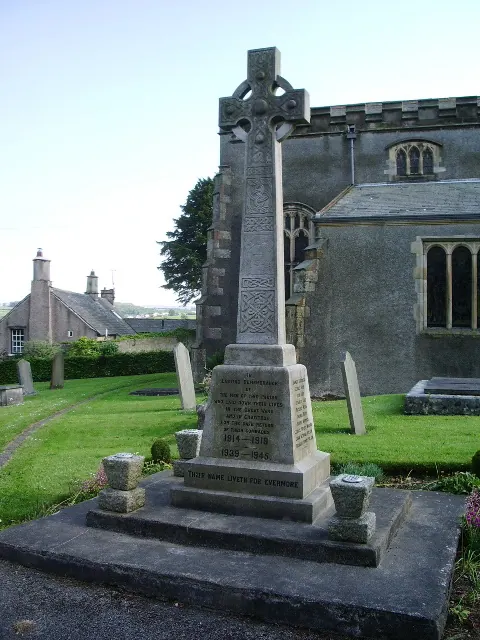
© Alexander P Kapp · Geograph · CC BY-SA 2.0
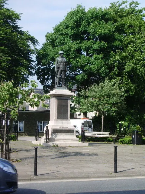
© Alexander P Kapp · Geograph · CC BY-SA 2.0
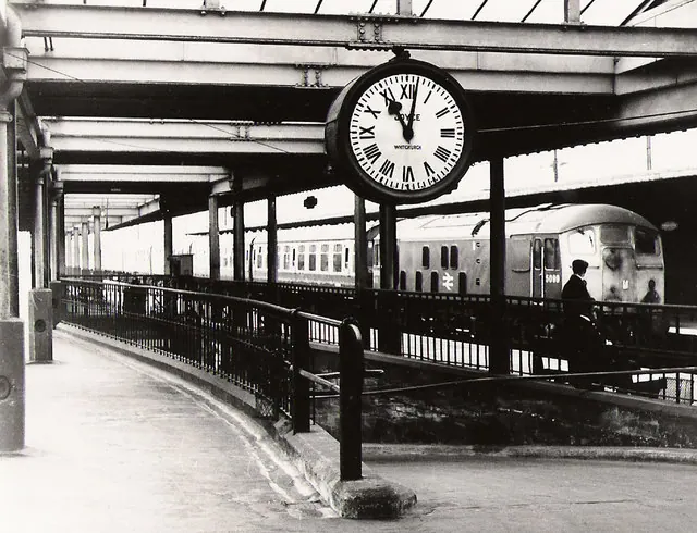
© Roger Cornfoot · Geograph · CC BY-SA 2.0
Images © their respective photographers, licensed under CC BY-SA 2.0 and reused here with attribution. Photographs depict listed buildings, churches and monuments near this settlement and may show neighbouring villages.
Data derived from the Open Domesday project (opendomesday.org), based on the Domesday Book dataset compiled by Professor J.J.N. Palmer and team. The Domesday Book (1086) is in the public domain.
Found an inaccuracy? [email protected]