Carlton in the Domesday Book (1086)
Carlton appears in the Domesday Book of 1086, entered under the hundred of Staincross in Yorkshire. The survey assessed Carlton at 54 carucates of taxable land.
The survey records Carlton’s value at 0d in 1086. No pre-Conquest figure survives – not unusual in the North, where records were disrupted by the Harrying and by the patchy coverage of the survey.
Other Settlements in Staincross
- Adlingfleet
- Barnby [Hall]
- Barnsley
- Barugh
- Brierley
- Cawthorne
- Chevet
- Clactone
- Clayton [West]
- Darton
- Dodworth
- Hemsworth
- Hoyland [Swaine]
- Hunshelf [Hall]
The Meaning of the Name
The name Carlton is of Anglo-Saxon origin. Its final element derives from the Old English word tūn, a farmstead or village. The first element is most likely a personal name or an early descriptive term, now difficult to recover with certainty. Taken together the name probably meant something close to ‘a farmstead’.
Remarkably, the name has changed little since 1086, when the Domesday scribes wrote it as Carlton.
Listed Buildings Near Carlton
Historic England records 5 listed buildings within about a mile of Carlton. Listing protects structures of special architectural or historic interest, graded I (exceptional), II* (particularly important) and II.
Grade I
- Church of St John the Baptist - 0.79 km
Grade II
- Church of St John - 0.32 km
- Kirk Cross at Junction With Pinfold Lane - 0.37 km
- The Gables - 0.38 km
- Manor House - 0.59 km
Scheduled Monuments Near Carlton
Scheduled monuments are nationally important archaeological sites given legal protection. 1 lies within roughly a mile of Carlton:
- Wayside cross known as Kirk Cross - 0.37 km
Carlton Today
Today Carlton lies within the administrative area of Barnsley.
Read more about modern Carlton on Wikipedia .
Nearby Domesday Settlements
Other places recorded in the 1086 survey within a few miles:
- Royston - 1.0 km N
- Monk Bretton - 3.0 km S
- Shafton - 3.2 km E
- Notton - 3.2 km N
- South Hiendley - 3.6 km NE
- Cold Hiendley - 4.1 km N
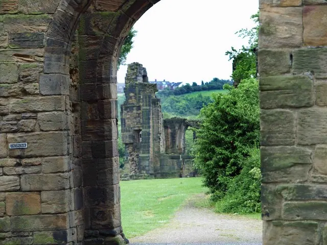
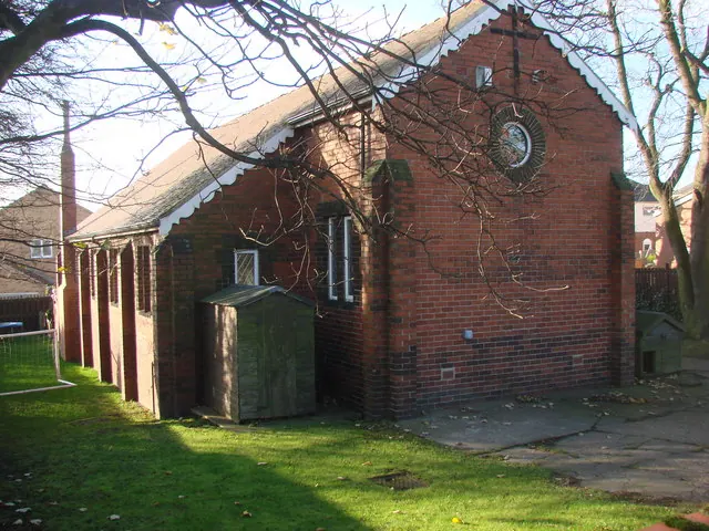
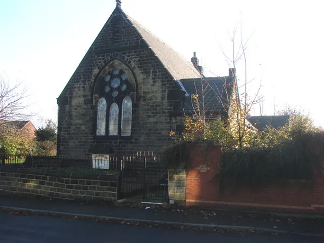
Heritage Around Carlton
Photographs of churches, listed buildings and monuments in the vicinity, contributed by volunteers to the Geograph project and reused here under a Creative Commons licence.
© Steve Fareham · Geograph · CC BY-SA 2.0
© Bill Henderson · Geograph · CC BY-SA 2.0
© Bill Henderson · Geograph · CC BY-SA 2.0
Images © their respective photographers, licensed under CC BY-SA 2.0 and reused here with attribution. Photographs depict listed buildings, churches and monuments near this settlement and may show neighbouring villages.
Data derived from the Open Domesday project (opendomesday.org), based on the Domesday Book dataset compiled by Professor J.J.N. Palmer and team. The Domesday Book (1086) is in the public domain.
Found an inaccuracy? [email protected]