Carlton in the Domesday Book (1086)
Carlton appears in the Domesday Book of 1086, entered under the hundred of Land of Count Alan in Yorkshire.
Other Settlements in Land of Count Alan
- Achebi
- Agglethorpe
- Ainderby [Mires]
- Ainderby [Quernhow]
- Aiskew
- Aldbrough
- Allerthorpe [Hall]
- Ascam
- Ascham
- Asebi
- Aske [Hall]
- Askrigg
- Aysgarth
- Baldersby
The Meaning of the Name
The name Carlton is of Anglo-Saxon origin. Its final element derives from the Old English word tūn, a farmstead or village. The first element is most likely a personal name or an early descriptive term, now difficult to recover with certainty. Taken together the name probably meant something close to ‘a farmstead’.
Remarkably, the name has changed little since 1086, when the Domesday scribes wrote it as Carlton.
Listed Buildings Near Carlton
Historic England records 33 listed buildings within about a mile of Carlton. Listing protects structures of special architectural or historic interest, graded I (exceptional), II* (particularly important) and II.
Grade II
- Seaton House - 0.19 km
- Crag View - 0.2 km
- Foresters Arms Inn - 0.23 km
- The Hermitage, House, Attached Outbuilding and Railings - 0.26 km
- The Mount, House and Outbuildings - 0.26 km
- Old Hall - 0.27 km
- Old Building Abutting North-east Corner of Old Hall - 0.27 km
- Old Hall Byre - 0.29 km
- Flatts Cottage - 0.29 km
- Flatts Farmhouse, Garden Walls and Railings - 0.3 km
- Coverley Farmhouse, Dale View and Railings - 0.31 km
- Prospect House - 0.32 km
- Appletree Cottage - 0.35 km
- Elm Tree Cottage and Elm Tree House and Railings - 0.38 km
- Town Head House - 0.39 km
- House to West of Clovelley Dene - 0.42 km
- Clovelley Dene - 0.43 km
- Ghyll Farmhouse - 0.45 km
- Pear Tree House - 0.51 km
- Town Foot Farmhouse - 0.76 km
- Chapman’s Cottage - 1.0 km
- Culverham Farmhouse - 1.02 km
- Wall With Bee-holes Approximately 40 Metres to West of Hill Top Farmhouse (At Ngr 0722 8364) - 1.02 km
- Crag View - 1.08 km
…and 9 more listed structures in the area.
Carlton Today
Today Carlton lies within the administrative area of Carlton Town, and the settlement recorded a population of 232 at recent figures. Nine and a half centuries separate that figure from the small rural community the Domesday survey recorded here in 1086.
Read more about modern Carlton on Wikipedia .
Nearby Domesday Settlements
Other places recorded in the 1086 survey within a few miles:
- Melmerby - 1.4 km NE
- West Scrafton - 1.4 km SE
- Agglethorpe - 2.8 km NE
- Caldbergh - 3.2 km E
- West Witton - 4.0 km N
- Coverham - 4.5 km NE
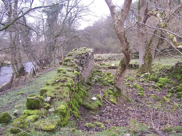
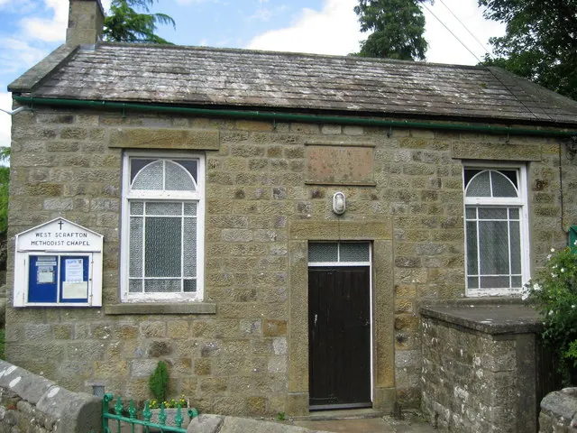
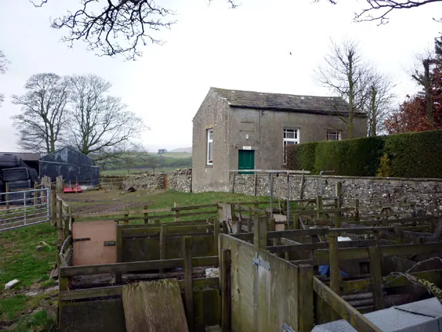
Heritage Around Carlton
Photographs of churches, listed buildings and monuments in the vicinity, contributed by volunteers to the Geograph project and reused here under a Creative Commons licence.
© Chris Heaton · Geograph · CC BY-SA 2.0
© Chris Heaton · Geograph · CC BY-SA 2.0
© Karl and Ali · Geograph · CC BY-SA 2.0
Images © their respective photographers, licensed under CC BY-SA 2.0 and reused here with attribution. Photographs depict listed buildings, churches and monuments near this settlement and may show neighbouring villages.
Location
54.2560°N, -1.9002°W · Land of Count Alan hundred, Yorkshire
View larger map on OpenStreetMap →Data derived from the Open Domesday project (opendomesday.org), based on the Domesday Book dataset compiled by Professor J.J.N. Palmer and team. The Domesday Book (1086) is in the public domain.
Found an inaccuracy? [email protected]