Carlton Husthwaite in the Domesday Book (1086)
The 1086 Domesday survey records the settlement of Carlton Husthwaite, entered under the hundred of Yarlestre in Yorkshire. The survey assessed Carlton Husthwaite at 10 carucates of taxable land.
At the time of the survey, Carlton Husthwaite supported a recorded population of 59 villagers, 46 smallholders, 72 freemanmen, working 52 ploughs between them.
By 1086 Carlton Husthwaite was worth 2 shillings, up from 1 shilling before the Conquest – which sets it apart from the many nearby villages left waste or devalued.
The survey lists 2 manors at Carlton Husthwaite under different lords. Splitting a single settlement between multiple tenants was common across the North – Saxon estates broken up and handed to William’s followers after 1066.
Resources Recorded at Carlton Husthwaite (1086)
- Mills: 1 mill (valued at 16d)
- Churches: 1
- Fisheries: 3
- Meadow: 100 acres
- Woodland: 3 * 1.5 leagues
Other Settlements in Yarlestre
- Arden [Hall]
- Asenby
- Bagby
- Baxby
- Bergebi
- Berghebi
- Bernebi
- Boltby
- Breckenbrough
- Carlton [Miniott]
- Catton
- Coxwold
- Crakehill
- Crayke
The Meaning of the Name
The name Carlton Husthwaite is of Anglo-Saxon origin. Its final element derives from the Old English word tūn, a farmstead or village. The first element is most likely a personal name or an early descriptive term, now difficult to recover with certainty. Taken together the name probably meant something close to ‘a farmstead’.
Remarkably, the name has changed little since 1086, when the Domesday scribes wrote it as Carlton Husthwaite.
Listed Buildings Near Carlton Husthwaite
Historic England records 16 listed buildings within about a mile of Carlton Husthwaite. Listing protects structures of special architectural or historic interest, graded I (exceptional), II* (particularly important) and II.
Grade II*
- The Old Hall - 0.3 km
- Thatch Cottage - 0.35 km
- Church of St Mary - 0.43 km
Grade II
- The Cedars - 0.31 km
- Oak Lea - 0.32 km
- The Carlton Inn - 0.32 km
- Front Wall to Garden and Gate Piers at Carlton Hall - 0.37 km
- Carlton Hall - 0.37 km
- K6 Telephone Kiosk - 0.43 km
- Swan Cottage - 0.43 km
- Sunnybank Farmhouse - 0.44 km
- House and Shop of F Butler - 0.45 km
- Carlton House - 0.47 km
- Church of St Mary - 1.19 km
- Boundary Marker in centre of Birdforth Bridge - 1.24 km
- Mile Post on Birdforth Bridge - 1.24 km
Carlton Husthwaite Today
Today Carlton Husthwaite lies within the administrative area of Hambleton, and the settlement recorded a population of 151 at the 2021 census. Nine and a half centuries separate that figure from the small rural community the Domesday survey recorded here in 1086.
Read more about modern Carlton Husthwaite on Wikipedia .
Nearby Domesday Settlements
Other places recorded in the 1086 survey within a few miles:
Heritage Around Carlton [Husthwaite]
Photographs of churches, listed buildings and monuments in the vicinity, contributed by volunteers to the Geograph project and reused here under a Creative Commons licence.
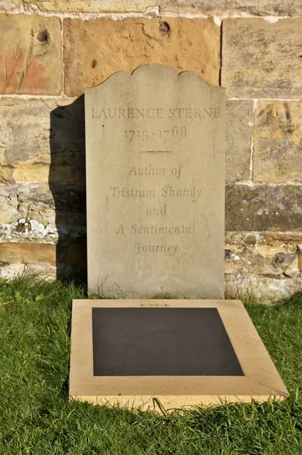
© Paul Buckingham · Geograph · CC BY-SA 2.0
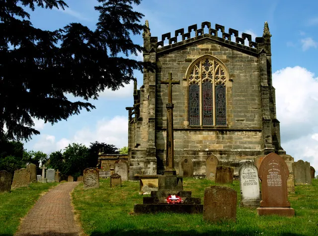
© Andy Beecroft · Geograph · CC BY-SA 2.0
© Phil Catterall · Geograph · CC BY-SA 2.0
Images © their respective photographers, licensed under CC BY-SA 2.0 and reused here with attribution. Photographs depict listed buildings, churches and monuments near this settlement and may show neighbouring villages.
Data derived from the Open Domesday project (opendomesday.org), based on the Domesday Book dataset compiled by Professor J.J.N. Palmer and team. The Domesday Book (1086) is in the public domain.
Found an inaccuracy? [email protected]