Capesthorne in the Domesday Book (1086)
The 1086 Domesday survey records the settlement of Capesthorne, entered under the hundred of Hamestan in Cheshire.
Other Settlements in Hamestan
- Adlington
- Bosley
- Bramhall
- Bredbury
- Butley
- Cheadle
- Chelford
- Cranage
- Gawsworth
- Henbury
- Hollingworth
- Hungrewenitune
- Kermincham
- Leighton
The Meaning of the Name
The origin of the name Capesthorne is not securely established from its modern form alone; like many settlement names in the North it likely combines an Old English or Old Norse personal name with a landscape term.
Remarkably, the name has changed little since 1086, when the Domesday scribes wrote it as Capesthorne.
Listed Buildings Near Capesthorne
Historic England records 14 listed buildings within about a mile of Capesthorne. Listing protects structures of special architectural or historic interest, graded I (exceptional), II* (particularly important) and II.
Grade II*
- Capesthorne Hall and Garden Wall Surrounding Entrance Court - 0.63 km
- Chapel of the Holy Trinity - 0.64 km
Grade II
- Bridge Across the Lake at Capesthorne Hall - 0.57 km
- Gatepiers and Gates Circa 15 Yards South West of the Chapel of the Holy Trinity - 0.67 km
- Stable Building at the Kennels - 0.74 km
- Glebe Cottage - 0.8 km
- Icehouse Circa 40 Yards East of Capesthorne Hall - 0.86 km
- North Lodge to Capesthorne Park - 0.99 km
- The Home Farmhouse - 1.04 km
- Roadside Cottage Roadside House - 1.07 km
- Farmbuilding Circa 10 Yards North of the Home Farmhouse - 1.08 km
- The School House - 1.13 km
- Nursery Lane Cottage - 1.18 km
- Blake House Cottage - 1.21 km
Scheduled Monuments Near Capesthorne
Scheduled monuments are nationally important archaeological sites given legal protection. 3 lie within roughly a mile of Capesthorne:
- Bowl barrow 450m south-east of Capesthorne Hall - 0.13 km
- Earthwork remains of a medieval hall, chapel and settlement, 290m south east of Capesthorne Hall - 0.35 km
- Bowl barrow 200m north-east of Capesthorne Hall - 0.52 km
Capesthorne Today
Today Capesthorne lies within the administrative area of Siddington.
Nearby Domesday Settlements
Other places recorded in the 1086 survey within a few miles:
- Siddington - 2.0 km S
- Chelford - 3.6 km NW
- Nether Alderley - 4.0 km N
- Marton - 4.0 km S
- Snelson - 4.1 km W
- Henbury - 4.1 km E
Heritage Around Capesthorne
Photographs of churches, listed buildings and monuments in the vicinity, contributed by volunteers to the Geograph project and reused here under a Creative Commons licence.
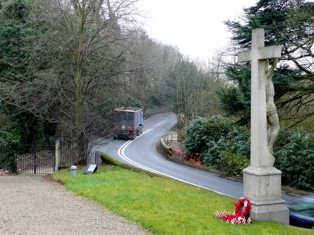
© Jonathan Billinger · Geograph · CC BY-SA 2.0
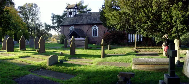
© Howard Selina · Geograph · CC BY-SA 2.0
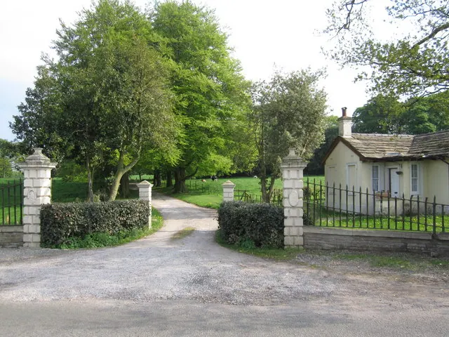
© Peter Turner · Geograph · CC BY-SA 2.0
Images © their respective photographers, licensed under CC BY-SA 2.0 and reused here with attribution. Photographs depict listed buildings, churches and monuments near this settlement and may show neighbouring villages.
Data derived from the Open Domesday project (opendomesday.org), based on the Domesday Book dataset compiled by Professor J.J.N. Palmer and team. The Domesday Book (1086) is in the public domain.
Found an inaccuracy? [email protected]