Campsall in the Domesday Book (1086)
Campsall appears in the Domesday Book of 1086, entered under the hundred of Osgodcross in Yorkshire.
Other Settlements in Osgodcross
- Arksey
- Badsworth
- Beal
- Burgh[wallis]
- Darrington
- Featherstone
- Ferry [Fryston]
- Hamphall [Stubbs]
- Hensall
- Hessle
- Kellington
- Knottingley
- Minsthorpe
- Newsham
The Meaning of the Name
The origin of the name Campsall is not securely established from its modern form alone; like many settlement names in the North it likely combines an Old English or Old Norse personal name with a landscape term.
Remarkably, the name has changed little since 1086, when the Domesday scribes wrote it as Campsall.
Listed Buildings Near Campsall
Historic England records 15 listed buildings within about a mile of Campsall. Listing protects structures of special architectural or historic interest, graded I (exceptional), II* (particularly important) and II.
Grade I
- Church of St Mary Magdalene - 0.41 km
- The Old Rectory - 0.46 km
Grade II
- Cross Base Approximately 10 Metres to South of Chancel of Church of St Mary Magdalene - 0.43 km
- Roadside Retaining Wall to the Old Rectory - 0.48 km
- Cross Base Approximately 8 Metres to East of Hill House - 0.53 km
- Gateway and Flanking Walls Set Behind Cross Base Approximately 8 Metres to East of Hill House - 0.53 km
- Rose Cottage - 0.58 km
- The Old Bells and the Chimneys With Self Contained Flat - 0.59 km
- Village Pump Immediately to East of Number 3 - 0.75 km
- Manor House and Attached Outbuilding - 0.79 km
- The Windmill - 0.82 km
- Bridge at South Entrance to Farmyard of Campsmount Home Farm - 0.96 km
- Cartshed and Attached Single Storey Outbuildings at South End of Farmyard to Campsmount Home Farm - 0.99 km
- Barn and Cowhouse Approximately 25 Metres to North of Cartshed at Campsmount Home Farm - 0.99 km
- Campsmount Home Farm Cottages - 0.99 km
Scheduled Monuments Near Campsall
Scheduled monuments are nationally important archaeological sites given legal protection. 1 lies within roughly a mile of Campsall:
Campsall Today
Today Campsall lies within the administrative area of Norton.
Read more about modern Campsall on Wikipedia .
Nearby Domesday Settlements
Other places recorded in the 1086 survey within a few miles:
- Newsham - 0.0 km N
- Norton - 1.0 km N
- Walden Stubbs - 2.2 km NE
- Burghwallis - 2.2 km SW
- Sutton - 2.2 km SE
- Kirk and Little Smeaton - 2.8 km NW
Heritage Around Campsall
Photographs of churches, listed buildings and monuments in the vicinity, contributed by volunteers to the Geograph project and reused here under a Creative Commons licence.
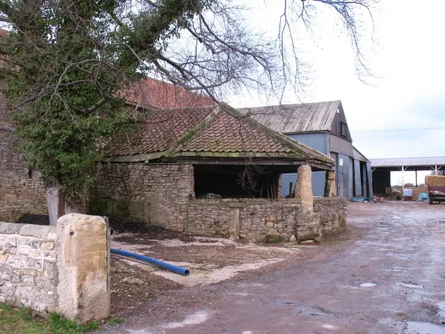
© Gordon Hatton · Geograph · CC BY-SA 2.0
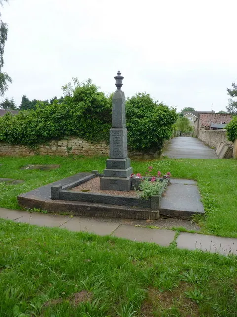
© Alexander P Kapp · Geograph · CC BY-SA 2.0
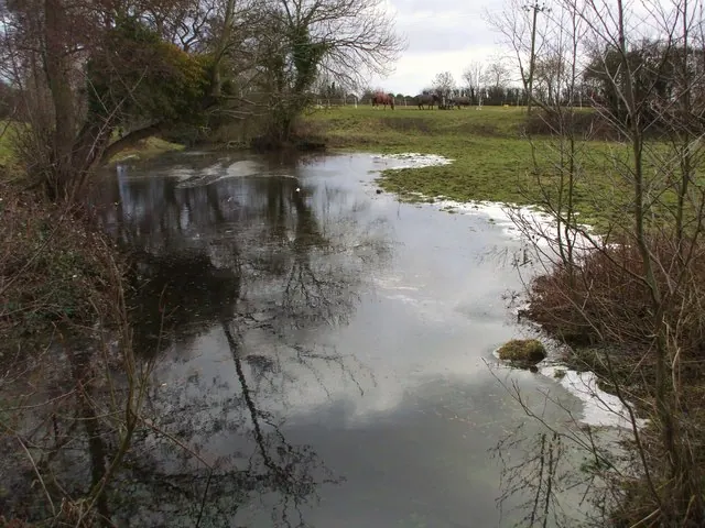
© Matthew Hatton · Geograph · CC BY-SA 2.0
Images © their respective photographers, licensed under CC BY-SA 2.0 and reused here with attribution. Photographs depict listed buildings, churches and monuments near this settlement and may show neighbouring villages.
Data derived from the Open Domesday project (opendomesday.org), based on the Domesday Book dataset compiled by Professor J.J.N. Palmer and team. The Domesday Book (1086) is in the public domain.
Found an inaccuracy? [email protected]