Calverley in the Domesday Book (1086)
Calverley is named in the Domesday Book, compiled by Norman commissioners in 1086, entered under the hundred of Morley in Yorkshire.
Other Settlements in Morley
- Allerton
- Armley
- Batley
- Beeston
- Bolton
- Bowling
- Bradford
- Bramley
- Carlton
- Chellow [Grange]
- Clayton
- Clifton
- Cruttonstall
- Dewsbury
The Meaning of the Name
The name Calverley is of Anglo-Saxon origin. Its final element derives from the Old English word lēah, a woodland clearing or glade. The first element is most likely a personal name or an early descriptive term, now difficult to recover with certainty. Taken together the name probably meant something close to ‘a clearing’.
Remarkably, the name has changed little since 1086, when the Domesday scribes wrote it as Calverley.
Listed Buildings Near Calverley
Historic England records 25 listed buildings within about a mile of Calverley. Listing protects structures of special architectural or historic interest, graded I (exceptional), II* (particularly important) and II.
Grade I
- Calverley Old Hall - 1.0 km
Grade II*
- Church of St Wilfrid - 0.82 km
- Church House - 0.86 km
Grade II
- Leeds and Liverpool Canal, Lodge Bridge - 0.27 km
- Calverley House Farmhouse - 0.41 km
- Lodge Farmhouse - 0.44 km
- Barn and cottage approximately 5 metres north of Woodbottom Cottage (Woodbottom Cottage not included), Low Hall Farm - 0.6 km
- Former barn approximately 30 metres south-west of Low Hall Farmhouse - 0.62 km
- Low Hall - 0.66 km
- Leeds and Liverpool Canal, Owl Bridge - 0.7 km
- 4, Calverley Bridge - 0.72 km
- Bridge Over River Aire - 0.72 km
- 7, Calverley Bridge - 0.76 km
- Lodge to North of the Grange - 0.84 km
- Grave Slab to James Thompson Set Next to South West Angle Buttress of Tower of Church of St Wilfred - 0.85 km
- The Grange - 0.88 km
- Outbuilding Approximately 15 Metres West of the Grange - 0.88 km
- Thornhill Arms - 0.9 km
- The Old Vicarage (John Ryan and Partners) - 0.91 km
- Woodleigh Hall - 0.92 km
- Coach House to the Old Vicarage (John Ryan and Partners) - 0.93 km
- Methodist Church - 1.13 km
- War Memorial Near to Entrance Victoria Park - 1.18 km
- Barn Approximately 5 Metres South East of Rodley Fold Farmhouse - 1.24 km
…and 1 more listed structures in the area.
Calverley Today
Today Calverley lies within the administrative area of Leeds, and the settlement recorded a population of 4,328 at the 2011 census. Nine and a half centuries separate that figure from the small rural community the Domesday survey recorded here in 1086.
Read more about modern Calverley on Wikipedia .
Nearby Domesday Settlements
Other places recorded in the 1086 survey within a few miles:
Heritage Around Calverley
Photographs of churches, listed buildings and monuments in the vicinity, contributed by volunteers to the Geograph project and reused here under a Creative Commons licence.
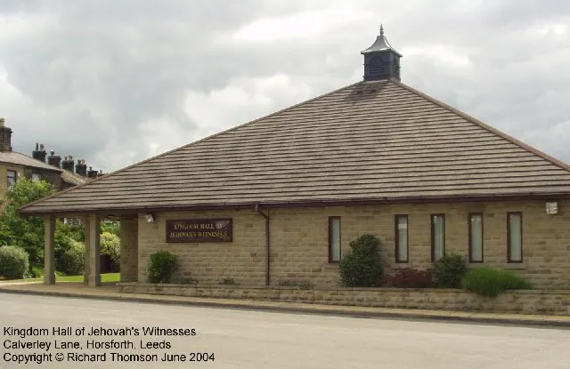
© Rich Tea · Geograph · CC BY-SA 2.0
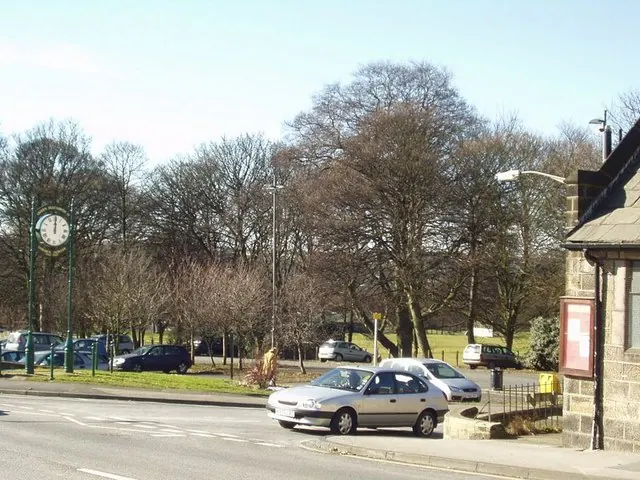
© Rich Tea · Geograph · CC BY-SA 2.0
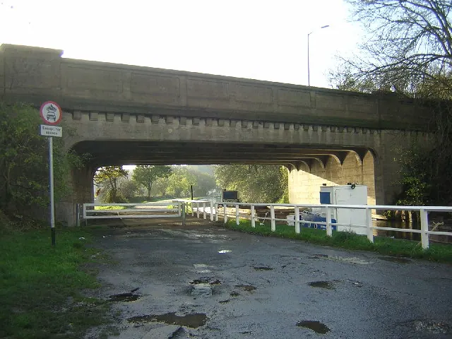
© Mark Morton · Geograph · CC BY-SA 2.0
Images © their respective photographers, licensed under CC BY-SA 2.0 and reused here with attribution. Photographs depict listed buildings, churches and monuments near this settlement and may show neighbouring villages.
Data derived from the Open Domesday project (opendomesday.org), based on the Domesday Book dataset compiled by Professor J.J.N. Palmer and team. The Domesday Book (1086) is in the public domain.
Found an inaccuracy? [email protected]