Calver in the Domesday Book (1086)
Calver appears in the Domesday Book of 1086, entered under the hundred of Blackwell in Derbyshire.
Other Settlements in Blackwell
- Abney
- Ashford [-in-the-Water]
- Aston
- Bakewell
- Bamford
- Baslow
- Beeley
- Birchills
- Birchover
- Blackwell
- Bradwell
- Bubnell
- Burley
- Burton
The Meaning of the Name
The origin of the name Calver is not securely established from its modern form alone; like many settlement names in the North it likely combines an Old English or Old Norse personal name with a landscape term.
Remarkably, the name has changed little since 1086, when the Domesday scribes wrote it as Calver.
Listed Buildings Near Calver
Historic England records 19 listed buildings within about a mile of Calver. Listing protects structures of special architectural or historic interest, graded I (exceptional), II* (particularly important) and II.
Grade II*
- Calver Bridge - 0.07 km
Grade II
- Wheelhouse South of Calver Mill - 0.1 km
- Calver Mill - 0.14 km
- Former Schoolroom at Stocking Farm - 0.25 km
- Cliff House - 0.54 km
- Wesleyan Chapel - 0.54 km
- Lamp Standard and Mounting Block - 0.56 km
- Springwell Cottage - 0.56 km
- Stone Water Troughs and Perimeter Millstones - 0.57 km
- The Mullions - 0.58 km
- Jasmine Cottage - 0.59 km
- 2 Lowside - 0.6 km
- Masonry Weir to the East of New Bridge - 0.84 km
- Lock-up 250 Yards North East of Lane Farm - 0.84 km
- Milestone at Os238748 - 0.85 km
- Cottage to the West of and Adjoining Stone Edge and Boundary Wall to South - 0.92 km
- Bramley Farm - 0.97 km
- Knouchley Farmhouse - 1.24 km
- Toll Bar Cottage - 1.26 km
Scheduled Monuments Near Calver
Scheduled monuments are nationally important archaeological sites given legal protection. 4 lie within roughly a mile of Calver:
- Calver weir and water management system 200m north east of Stocking Farm - 0.53 km
- Newburgh Level at Red Rake Mine - 0.85 km
- Round cairn on Curbar Edge - 1.43 km
- Round cairn on Curbar Edge - 1.44 km
Calver Today
Today Calver lies within the administrative area of Derbyshire Dales, and the settlement recorded a population of 671 at the 2021 census. Nine and a half centuries separate that figure from the small rural community the Domesday survey recorded here in 1086.
Read more about modern Calver on Wikipedia .
Nearby Domesday Settlements
Other places recorded in the 1086 survey within a few miles:
Heritage Around Calver
Photographs of churches, listed buildings and monuments in the vicinity, contributed by volunteers to the Geograph project and reused here under a Creative Commons licence.
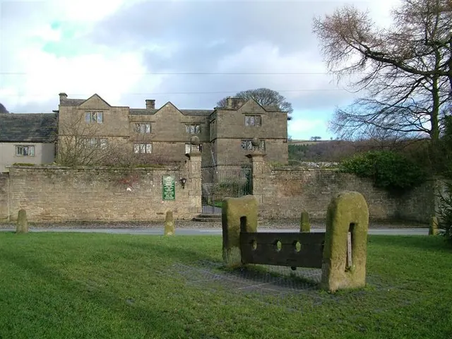
© Stephen G Taylor · Geograph · CC BY-SA 2.0
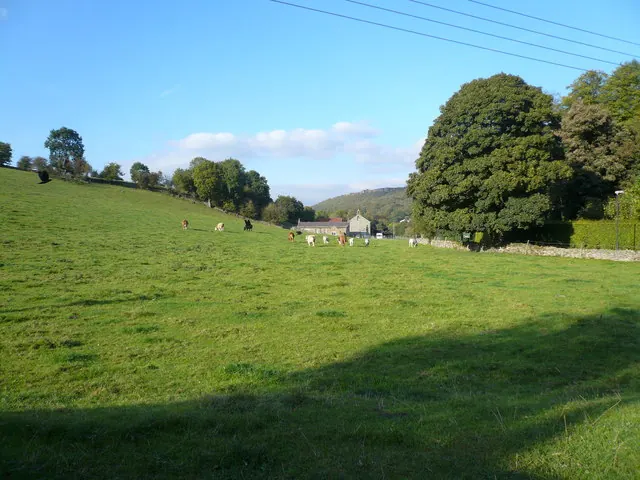
© Alan Heardman · Geograph · CC BY-SA 2.0
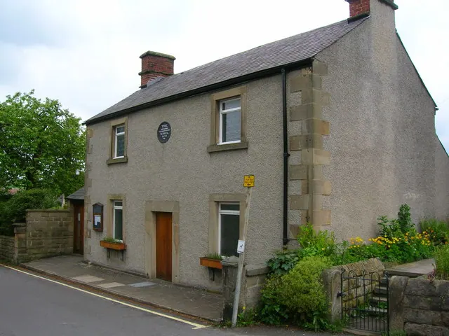
© John H Darch · Geograph · CC BY-SA 2.0
Images © their respective photographers, licensed under CC BY-SA 2.0 and reused here with attribution. Photographs depict listed buildings, churches and monuments near this settlement and may show neighbouring villages.
Data derived from the Open Domesday project (opendomesday.org), based on the Domesday Book dataset compiled by Professor J.J.N. Palmer and team. The Domesday Book (1086) is in the public domain.
Found an inaccuracy? [email protected]