Calton in the Domesday Book (1086)
Calton is named in the Domesday Book, compiled by Norman commissioners in 1086, entered under the hundred of Craven in Yorkshire.
Other Settlements in Craven
- Addingham
- Airton
- Anley
- Appletreewick
- Arncliffe
- Arnford
- Barnoldswick
- Bashall [Eaves]
- Battersby [Barn]
- Beamsley
- Birkby [Hall]
- Bogeuurde
- Bolton [Abbey]
- Bolton [by Bowland]
The Meaning of the Name
The name Calton is of Anglo-Saxon origin. Its final element derives from the Old English word tūn, a farmstead or village. The first element is most likely a personal name or an early descriptive term, now difficult to recover with certainty. Taken together the name probably meant something close to ‘a farmstead’.
Remarkably, the name has changed little since 1086, when the Domesday scribes wrote it as Calton.
Listed Buildings Near Calton
Historic England records 26 listed buildings within about a mile of Calton. Listing protects structures of special architectural or historic interest, graded I (exceptional), II* (particularly important) and II.
Grade II*
Grade II
- River Walk - 0.33 km
- Airton Bridge - 0.33 km
- Riverside Cottage - 0.34 km
- The Rookery - 0.35 km
- Calton Lodge - 0.36 km
- Manor Farmhouse - 0.36 km
- Ellis Cottage Ellis House - 0.37 km
- Glendower House - 0.39 km
- The Nook, The Barn, and burial ground walls at Airton Quaker Meeting House - 0.39 km
- Glendower Cottage - 0.4 km
- Nelson Farmhouse - 0.41 km
- Calton Hall With Garden Walls, Gate Piers and Mounting Block - 0.42 km
- Calton Hall Stables and Store House - 0.44 km
- The Green - 0.45 km
- Scosthrop Manor House Grid Reference Sd 3901 4596 - 0.47 km
- The Manor House - 0.48 km
- K6 Telephone Kiosk, Airton Green, Airton - 0.48 km
- Vipoint House and Airton Cottage - 0.49 km
- Town End Farmhouse Grid Reference Sd 3901 4596 - 0.54 km
- Rose Mount - 0.56 km
- Garris Croft Tatham Cottage - 0.58 km
- Eastern Barn at Town End - 0.63 km
- Westen Barn at Town End - 0.66 km
…and 2 more listed structures in the area.
Calton Today
Today Calton lies within the administrative area of Craven, and the settlement recorded a population of 58 at the 2021 census. Nine and a half centuries separate that figure from the small rural community the Domesday survey recorded here in 1086.
Read more about modern Calton on Wikipedia .
Nearby Domesday Settlements
Other places recorded in the 1086 survey within a few miles:
Heritage Around Calton
Photographs of churches, listed buildings and monuments in the vicinity, contributed by volunteers to the Geograph project and reused here under a Creative Commons licence.
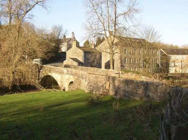
© Humphrey Bolton · Geograph · CC BY-SA 2.0
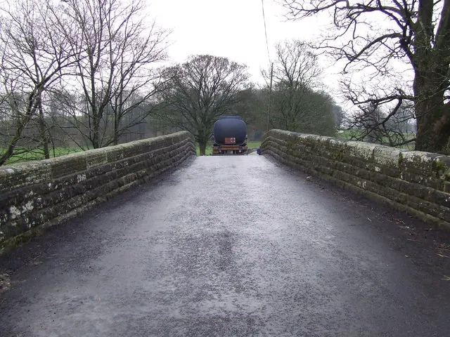
© Roger Nunn · Geograph · CC BY-SA 2.0
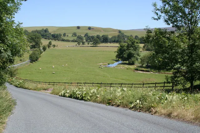
© Kate Jewell · Geograph · CC BY-SA 2.0
Images © their respective photographers, licensed under CC BY-SA 2.0 and reused here with attribution. Photographs depict listed buildings, churches and monuments near this settlement and may show neighbouring villages.
Data derived from the Open Domesday project (opendomesday.org), based on the Domesday Book dataset compiled by Professor J.J.N. Palmer and team. The Domesday Book (1086) is in the public domain.
Found an inaccuracy? [email protected]