Callow in the Domesday Book (1086)
Callow appears in the Domesday Book of 1086, entered under the hundred of Hamston in Derbyshire.
Other Settlements in Hamston
- Alsop [-en-le-Dale]
- Ashbourne
- Atlow
- Ballidon
- Bonsall
- Bradbourne
- Brassington
- Broadlowash
- Carsington
- Cowley
- Cromford
- Elton
- Hanson [Grange]
- Hartington
The Meaning of the Name
The origin of the name Callow is not securely established from its modern form alone; like many settlement names in the North it likely combines an Old English or Old Norse personal name with a landscape term.
Remarkably, the name has changed little since 1086, when the Domesday scribes wrote it as Callow.
Listed Buildings Near Callow
Historic England records 24 listed buildings within about a mile of Callow. Listing protects structures of special architectural or historic interest, graded I (exceptional), II* (particularly important) and II.
Grade II*
- Callow Hall - 0.72 km
Grade II
- Callow Hall Barns - 0.74 km
- Gell Almshouses - 0.94 km
- Tudor Cottage - 0.94 km
- Woodbank - 0.94 km
- Townend Hall - 0.96 km
- Round Meadow Farmhouse and Outbuildings - 1.01 km
- Guide Post 100 Metres South of Sycamore Farm - 1.01 km
- Hopton Manor - 1.02 km
- Piggery to East of Farmhouse - 1.04 km
- Wall and Gate Piers to North West of Hopton Manor - 1.04 km
- Sycamore Farmhouse - 1.05 km
- Well to West of Forge Cottage - 1.06 km
- Sitch Farmhouse - 1.09 km
- Cartshed at Home Farm - 1.11 km
- Callow Carr Farm and Stables - 1.12 km
- Dene Cottage - 1.18 km
- Gate Piers to South West of the Lodge - 1.19 km
- The Lodge - 1.19 km
- Steps and Gates to Vegetable Garden, Hopton Hall - 1.23 km
- Ice House - 1.24 km
- Hopton Hall - 1.27 km
- Garden Walls and Tower at Hopton Hall - 1.27 km
- The Kennels - 1.28 km
Scheduled Monuments Near Callow
Scheduled monuments are nationally important archaeological sites given legal protection. 2 lie within roughly a mile of Callow:
- Medieval settlement and part of an open field system, 250m north west of Callow Hall - 0.51 km
- Callow Hall moated site - 0.7 km
Callow Today
Today Callow lies within the administrative area of Derbyshire Dales, and the settlement recorded a population of 59 at the 2021 census. Nine and a half centuries separate that figure from the small rural community the Domesday survey recorded here in 1086.
Read more about modern Callow on Wikipedia .
Nearby Domesday Settlements
Other places recorded in the 1086 survey within a few miles:
- Carsington - 1.4 km NW
- Hopton - 1.4 km NW
- Kirk Ireton - 2.0 km S
- Wirksworth - 2.8 km NE
- Hognaston - 3.6 km SW
- Brassington - 3.6 km NW
Heritage Around Callow
Photographs of churches, listed buildings and monuments in the vicinity, contributed by volunteers to the Geograph project and reused here under a Creative Commons licence.
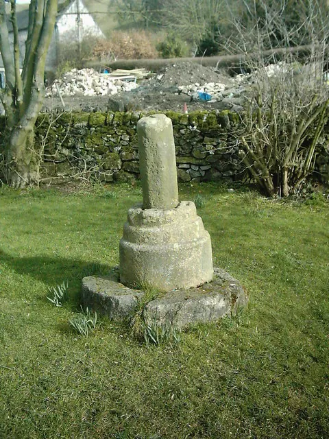
© Eamon Curry · Geograph · CC BY-SA 2.0
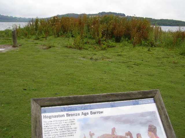
© Brian Green · Geograph · CC BY-SA 2.0
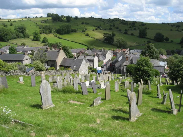
© Alan Heardman · Geograph · CC BY-SA 2.0
Images © their respective photographers, licensed under CC BY-SA 2.0 and reused here with attribution. Photographs depict listed buildings, churches and monuments near this settlement and may show neighbouring villages.
Data derived from the Open Domesday project (opendomesday.org), based on the Domesday Book dataset compiled by Professor J.J.N. Palmer and team. The Domesday Book (1086) is in the public domain.
Found an inaccuracy? [email protected]