Caldwell in the Domesday Book (1086)
Caldwell is named in the Domesday Book, compiled by Norman commissioners in 1086, entered under the hundred of Walecros in Derbyshire. The survey assessed Caldwell at 7 carucates of taxable land.
At the time of the survey, Caldwell supported a recorded population of 16 villagers, 16 smallholders, 3 slaves, working 12 ploughs between them.
By 1086 Caldwell was worth 10 shillings, up from 8 shillings before the Conquest – in contrast to many Yorkshire neighbours whose valuations collapsed.
Resources Recorded at Caldwell (1086)
- Cattle: 8
- Pigs: 15
- Sheep: 80
- Horses (cobs): 1
- Woodland: 500 pigs
Other Settlements in Walecros
- Appleby [Magna]
- Bolun
- Bretby
- Catton
- Coton [-in-the-Elms]
- Drakelowe
- Foremark
- Hartshorne
- Hearthcote
- Ingleby
- Lullington
- Melbourne
- Milton
- Newton [Solney]
The Meaning of the Name
The name Caldwell is of Anglo-Saxon origin. Its final element derives from the Old English word wella, a spring or stream. The first element is most likely a personal name or an early descriptive term, now difficult to recover with certainty. Taken together the name probably meant something close to ‘a spring’.
Remarkably, the name has changed little since 1086, when the Domesday scribes wrote it as Caldwell.
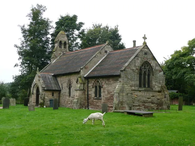
Listed Buildings Near Caldwell
Historic England records 4 listed buildings within about a mile of Caldwell. Listing protects structures of special architectural or historic interest, graded I (exceptional), II* (particularly important) and II.
Grade II*
- Cauldwell Hall - 0.3 km
Grade II
- Priory Farmhouse - 0.15 km
- Manor Farmhouse - 0.24 km
- Church of St Giles - 0.33 km
Caldwell Today
Today Caldwell lies within the administrative area of Cauldwell.
Read more about modern Caldwell on Wikipedia .
Nearby Domesday Settlements
Other places recorded in the 1086 survey within a few miles:
- Rosliston - 1.4 km SW
- Linton - 2.2 km SE
- Coton -in-the-Elms - 2.2 km SW
- Stanton - 3.2 km N
- Drakelowe - 3.2 km N
- Hearthcote - 3.6 km NE
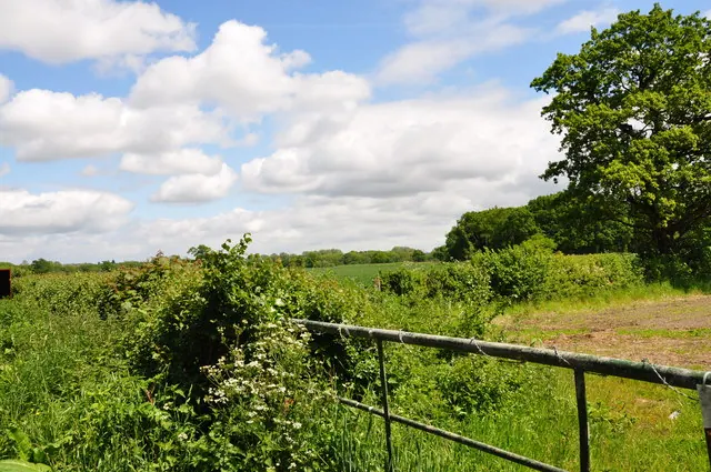
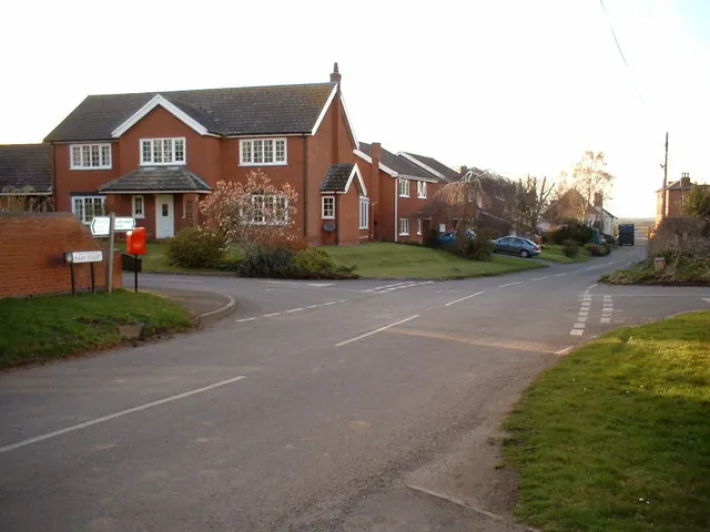
Heritage Around Caldwell
Photographs of churches, listed buildings and monuments in the vicinity, contributed by volunteers to the Geograph project and reused here under a Creative Commons licence.
© Brian Chadwick · Geograph · CC BY-SA 2.0
© Mark Walton · Geograph · CC BY-SA 2.0
© John Beresford · Geograph · CC BY-SA 2.0
Images © their respective photographers, licensed under CC BY-SA 2.0 and reused here with attribution. Photographs depict listed buildings, churches and monuments near this settlement and may show neighbouring villages.
Data derived from the Open Domesday project (opendomesday.org), based on the Domesday Book dataset compiled by Professor J.J.N. Palmer and team. The Domesday Book (1086) is in the public domain.
Found an inaccuracy? [email protected]