Caldbergh in the Domesday Book (1086)
Caldbergh is named in the Domesday Book, compiled by Norman commissioners in 1086, entered under the hundred of Land of Count Alan in Yorkshire.
Other Settlements in Land of Count Alan
- Achebi
- Agglethorpe
- Ainderby [Mires]
- Ainderby [Quernhow]
- Aiskew
- Aldbrough
- Allerthorpe [Hall]
- Ascam
- Ascham
- Asebi
- Aske [Hall]
- Askrigg
- Aysgarth
- Baldersby
The Meaning of the Name
The origin of the name Caldbergh is not securely established from its modern form alone; like many settlement names in the North it likely combines an Old English or Old Norse personal name with a landscape term.
Remarkably, the name has changed little since 1086, when the Domesday scribes wrote it as Caldbergh.
Listed Buildings Near Caldbergh
Historic England records 13 listed buildings within about a mile of Caldbergh. Listing protects structures of special architectural or historic interest, graded I (exceptional), II* (particularly important) and II.
Grade II*
- Coverham Bridge - 1.11 km
- Church of Holy Trinity - 1.19 km
- Coverham Abbey Gatehouse - 1.21 km
Grade II
- Manor Farmhouse - 0.5 km
- K6 Telephone Kiosk Outside Rose Cottage - 0.52 km
- Ulla Bridge - 0.6 km
- Scrafton Lodge - 1.05 km
- Lime-kiln Approximately 15 Metres South-east of St Simon’s Chapel Ruins - 1.12 km
- Home Farmhouse - 1.12 km
- St Simon’s Chapel Ruins - 1.13 km
- Gate and Gate Piers Approximately 200 Metres West of Coverham Abbey House - 1.23 km
- Agglethorpe Hall - 1.24 km
- Range of Farm Buildings Approximately Ten Metres to West of Agglethorpe Hall - 1.25 km
Scheduled Monuments Near Caldbergh
Scheduled monuments are nationally important archaeological sites given legal protection. 2 lie within roughly a mile of Caldbergh:
- Castle Steads slight univallate hillfort - 0.92 km
- Coverham Abbey Premonstratensian monastery and precinct including Holy Trinity Church and medieval bridge - 1.35 km
Caldbergh Today
Today Caldbergh lies within the administrative area of Richmondshire.
Read more about modern Caldbergh on Wikipedia .
Nearby Domesday Settlements
Other places recorded in the 1086 survey within a few miles:
- Coverham - 1.4 km NE
- Agglethorpe - 1.4 km NW
- Melmerby - 2.0 km W
- West Scrafton - 2.8 km SW
- Carlton - 3.2 km W
- Middleham - 3.6 km NE
Heritage Around Caldbergh
Photographs of churches, listed buildings and monuments in the vicinity, contributed by volunteers to the Geograph project and reused here under a Creative Commons licence.
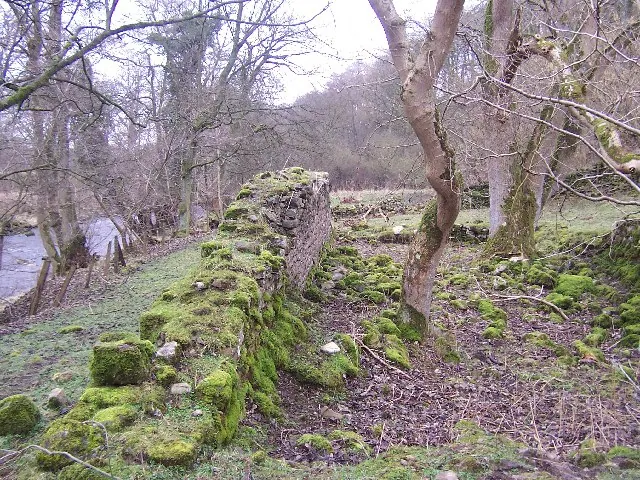
© Chris Heaton · Geograph · CC BY-SA 2.0
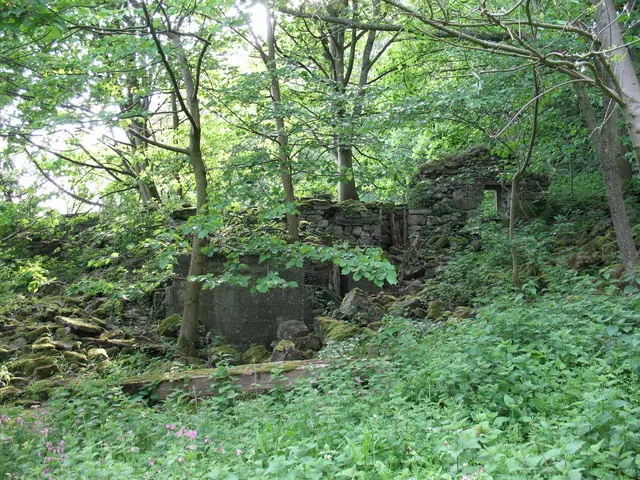
© Gordon Hatton · Geograph · CC BY-SA 2.0
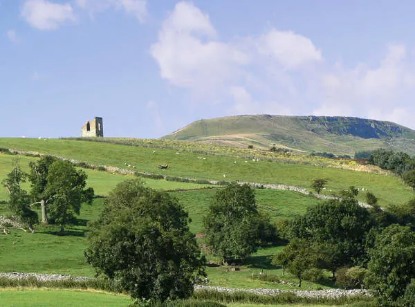
© Anthony Harrison · Geograph · CC BY-SA 2.0
Images © their respective photographers, licensed under CC BY-SA 2.0 and reused here with attribution. Photographs depict listed buildings, churches and monuments near this settlement and may show neighbouring villages.
Location
54.2649°N, -1.8541°W · Land of Count Alan hundred, Yorkshire
View larger map on OpenStreetMap →Data derived from the Open Domesday project (opendomesday.org), based on the Domesday Book dataset compiled by Professor J.J.N. Palmer and team. The Domesday Book (1086) is in the public domain.
Found an inaccuracy? [email protected]