Cadretone in the Domesday Book (1086)
Cadretone appears in the Domesday Book of 1086, entered under the hundred of Burghshire in Yorkshire.
Other Settlements in Burghshire
- Addlethorpe
- Aismunderby
- Aldfield
- Allerton [Mauleverer]
- Arkendale
- Askwith
- Azerley
- Barrowby [Grange]
- Beckwith [House]
- Besthaim
- Bestham
- Bewerley
- Bilton
- Birstwith
The Meaning of the Name
The origin of the name Cadretone is not securely established from its modern form alone; like many settlement names in the North it likely combines an Old English or Old Norse personal name with a landscape term.
Remarkably, the name has changed little since 1086, when the Domesday scribes wrote it as Cadretone.
Listed Buildings Near Cadretone
Historic England records 22 listed buildings within about a mile of Cadretone. Listing protects structures of special architectural or historic interest, graded I (exceptional), II* (particularly important) and II.
Grade I
- Allerton Park - 0.66 km
Grade II*
- Church of St Martin - 0.48 km
- Chapel of St Mary Attached to the Mansion - 0.62 km
- Temple of Victory With Railed Enclosure - 1.19 km
Grade II
- South Lodge and Attached Park Gate - 0.34 km
- Walled Garden - 0.45 km
- Holly Cottage - 0.47 km
- Church Yard Wall and Piers, Church of St Martins - 0.48 km
- Gate Piers and Gate Approximately 75 Metres South East of the Mansion - 0.59 km
- The Stables - 0.61 km
- Dovecote attached to the north of The Stables - 0.65 km
- Gate Piers and Gate Approximately 25 Metres South West of the Mansion - 0.67 km
- Summerhouse and Attached Archway Approximately 100 Metres North East of Mansion House - 0.67 km
- Bridge Over Path to Pleasure Grounds - 0.71 km
- Terrace Walls Steps and Urns to North and West of Allerton Park Mansion House - 0.72 km
- Arched Entrance to Jetty or Boathouse on Lower Fish Pond South Side - 0.84 km
- Icehouse - 0.91 km
- Bridge Between Middle and Lower Fish Pond - 1.02 km
- West Lodge - 1.04 km
- Boathouse on Island of Lower Fish Pond - 1.04 km
- Gates and Gate Piers to West Lodge - 1.07 km
- Milepost - 1.2 km
Cadretone Today
Today Cadretone lies within the administrative area of Harrogate, and the settlement recorded a population of 155 at the 2021 census. Nine and a half centuries separate that figure from the small rural community the Domesday survey recorded here in 1086.
Read more about modern Allerton Mauleverer with Hopperton on Wikipedia .
Nearby Domesday Settlements
Other places recorded in the 1086 survey within a few miles:
- Allerton Mauleverer - 0.0 km N
- Thornborough - 1.4 km NE
- Hopperton - 1.4 km SE
- Flaxby - 2.0 km W
- Clareton - 2.8 km NW
- Whixley - 3.2 km E
Heritage Around Cadretone
Photographs of churches, listed buildings and monuments in the vicinity, contributed by volunteers to the Geograph project and reused here under a Creative Commons licence.
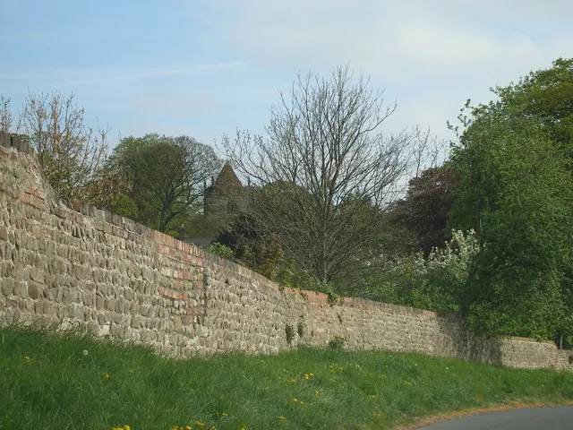
© Carol Rose · Geograph · CC BY-SA 2.0
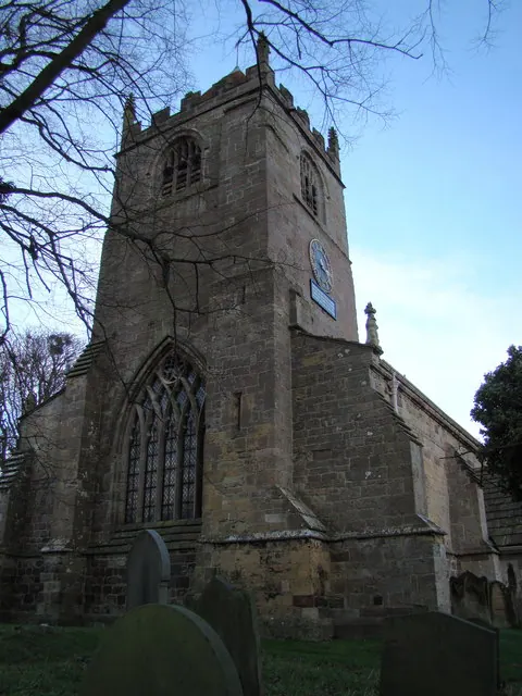
© David Rogers · Geograph · CC BY-SA 2.0
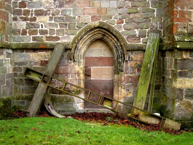
© Martyn Gorman · Geograph · CC BY-SA 2.0
Images © their respective photographers, licensed under CC BY-SA 2.0 and reused here with attribution. Photographs depict listed buildings, churches and monuments near this settlement and may show neighbouring villages.
Data derived from the Open Domesday project (opendomesday.org), based on the Domesday Book dataset compiled by Professor J.J.N. Palmer and team. The Domesday Book (1086) is in the public domain.
Found an inaccuracy? [email protected]