Cadeby in the Domesday Book (1086)
Cadeby is named in the Domesday Book, compiled by Norman commissioners in 1086, entered under the hundred of Strafforth in Yorkshire.
Other Settlements in Strafforth
- Adwick [le Street]
- Adwick [upon Dearne]
- Armthorpe
- Aston
- Attercliffe
- Auckley
- Aughton [Hall]
- Austerfield
- Balby
- Barnbrough
- Barnby [Dun]
- Bentley
- Bilham [House]
- Billingley
The Meaning of the Name
The name Cadeby is of Scandinavian origin. Its final element derives from the Old Norse word bý, a farmstead or village. The first element is most likely a personal name or an early descriptive term, now difficult to recover with certainty. Taken together the name probably meant something close to ‘a farmstead’.
Names of this type are a fingerprint of Scandinavian settlement: they cluster across the old Danelaw, where Norse-speaking settlers renamed or founded villages from the late 9th century onward.
Remarkably, the name has changed little since 1086, when the Domesday scribes wrote it as Cadeby.
Listed Buildings Near Cadeby
Historic England records 6 listed buildings within about a mile of Cadeby. Listing protects structures of special architectural or historic interest, graded I (exceptional), II* (particularly important) and II.
Grade II
- Barn Approximately 40 Metres to Rear of Cadeby Inn - 0.03 km
- Church of St John - 0.14 km
- White House Farmhouse - 0.25 km
- West Portal - 1.02 km
- Conisbrough Tunnel East Portal - 1.03 km
- Milepost in Pavement to Front of Number 10 - 1.26 km
Scheduled Monuments Near Cadeby
Scheduled monuments are nationally important archaeological sites given legal protection. 4 lie within roughly a mile of Cadeby:
- Wildthorpe medieval settlement 680m south of Leylands Farm - 0.89 km
- Icehouse 720m south east of Bath House Farm - 1.26 km
- Romano-British enclosure and earthworks in Pot Ridings Wood - 1.29 km
- Conisbrough Castle - 1.58 km
Cadeby Today
Today Cadeby lies within the administrative area of Doncaster, and the settlement recorded a population of 177 at the 2021 census. Nine and a half centuries separate that figure from the small rural community the Domesday survey recorded here in 1086.
Read more about modern Cadeby on Wikipedia .
Nearby Domesday Settlements
Other places recorded in the 1086 survey within a few miles:
- Wildthorpe - 1.0 km N
- High Melton - 1.4 km NW
- Conisbrough - 2.0 km S
- Sprotbrough - 2.8 km NE
- Warmsworth - 3.0 km E
- Denaby - 3.2 km W
Heritage Around Cadeby
Photographs of churches, listed buildings and monuments in the vicinity, contributed by volunteers to the Geograph project and reused here under a Creative Commons licence.
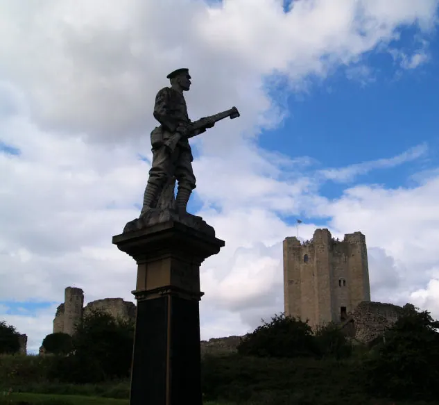
© Steve Fareham · Geograph · CC BY-SA 2.0
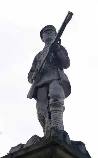
© Steve Fareham · Geograph · CC BY-SA 2.0
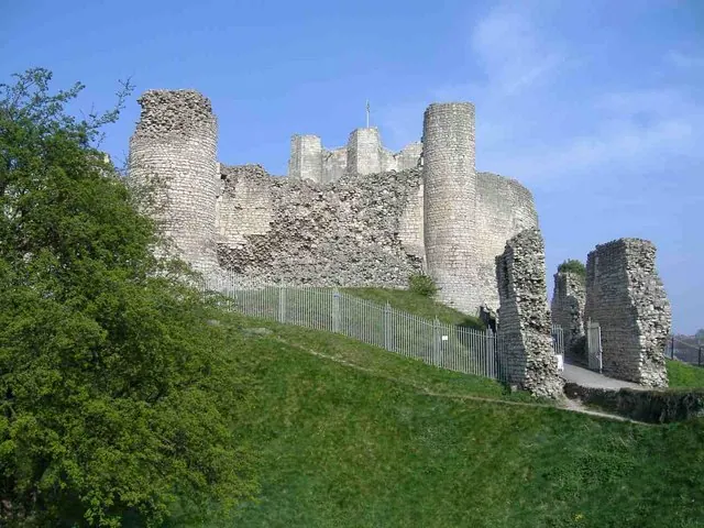
© Roger Cornfoot · Geograph · CC BY-SA 2.0
Images © their respective photographers, licensed under CC BY-SA 2.0 and reused here with attribution. Photographs depict listed buildings, churches and monuments near this settlement and may show neighbouring villages.
Data derived from the Open Domesday project (opendomesday.org), based on the Domesday Book dataset compiled by Professor J.J.N. Palmer and team. The Domesday Book (1086) is in the public domain.
Found an inaccuracy? [email protected]