Butley in the Domesday Book (1086)
Butley is named in the Domesday Book, compiled by Norman commissioners in 1086, entered under the hundred of Hamestan in Cheshire. The survey assessed Butley at 4.5 carucates of taxable land.
At the time of the survey, Butley supported a recorded population of 4 villagers, 10 smallholders, working 4 ploughs between them.
By 1086 Butley was worth 3 shillings, up from 2 shillings before the Conquest – in contrast to many Yorkshire neighbours whose valuations collapsed.
Resources Recorded at Butley (1086)
- Meadow: 14 acres
Other Settlements in Hamestan
- Adlington
- Bosley
- Bramhall
- Bredbury
- Capesthorne
- Cheadle
- Chelford
- Cranage
- Gawsworth
- Henbury
- Hollingworth
- Hungrewenitune
- Kermincham
- Leighton
The Meaning of the Name
The name Butley is of Anglo-Saxon origin. Its final element derives from the Old English word lēah, a woodland clearing or glade. The first element is most likely a personal name or an early descriptive term, now difficult to recover with certainty. Taken together the name probably meant something close to ‘a clearing’.
Remarkably, the name has changed little since 1086, when the Domesday scribes wrote it as Butley.
Listed Buildings Near Butley
Historic England records 26 listed buildings within about a mile of Butley. Listing protects structures of special architectural or historic interest, graded I (exceptional), II* (particularly important) and II.
Grade II
- Milestone Opposite Aldersey Fold - 0.47 km
- Cock and Pheasant Inn - 0.52 km
- Yew Tree House - 0.55 km
- 50 and 52, Bollington Road - 0.55 km
- Barley Grange - 0.55 km
- Church of St Oswald - 0.61 km
- Moss Cottage - 0.64 km
- Orchard House - 0.65 km
- 11, Moss Brow - 0.67 km
- 9, Moss Brow - 0.67 km
- Lowerhouse Mill Premises of Slater Harrison Limited - 0.67 km
- Nos 10 and 12 and Railings - 0.68 km
- The Corner Shop - 0.68 km
- Heywood’s - 0.71 km
- Stables at Number 101 - 0.77 km
- Heath House - 0.79 km
- Parish Boundary Stone at Sj 92296 77883 - 0.81 km
- Turner Heath - 0.81 km
- Parish Boundary Stone at Sj 92297 77883 - 0.81 km
- Heybridge Farmhouse - 0.96 km
- Briar Cottage - 1.1 km
- South Entrance Arch to Prestbury Railway Tunnel - 1.16 km
- Bollington Hall Farmhouse - 1.18 km
- Lord Clyde Inn - 1.27 km
…and 2 more listed structures in the area.
Scheduled Monuments Near Butley
Scheduled monuments are nationally important archaeological sites given legal protection. 1 lies within roughly a mile of Butley:
Butley Today
Today Butley lies within the administrative area of Prestbury.
Nearby Domesday Settlements
Other places recorded in the 1086 survey within a few miles:
- Hungrewenitune - 1.0 km W
- Adlington - 3.0 km N
- Mottram St Andrew - 3.6 km NW
- Macclesfield - 4.0 km S
- Henbury - 5.0 km SW
- Over Alderley - 5.1 km W
Heritage Around Butley
Photographs of churches, listed buildings and monuments in the vicinity, contributed by volunteers to the Geograph project and reused here under a Creative Commons licence.
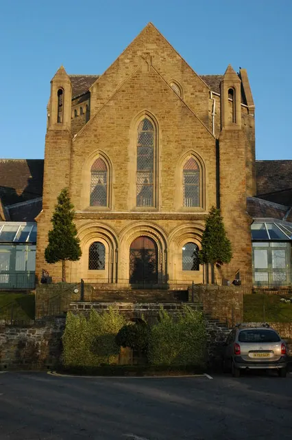
© Philip Halling · Geograph · CC BY-SA 2.0
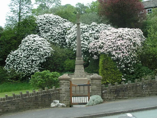
© Dave Dunford · Geograph · CC BY-SA 2.0
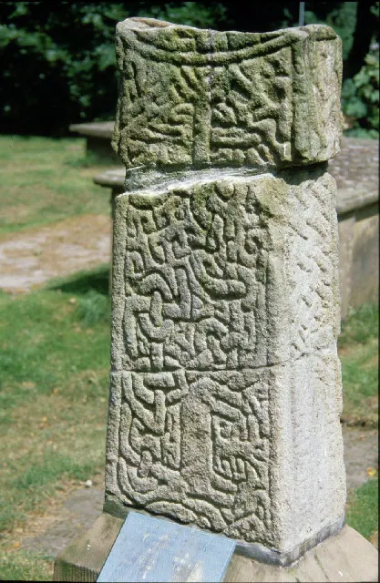
© Peter Ward · Geograph · CC BY-SA 2.0
Images © their respective photographers, licensed under CC BY-SA 2.0 and reused here with attribution. Photographs depict listed buildings, churches and monuments near this settlement and may show neighbouring villages.
Data derived from the Open Domesday project (opendomesday.org), based on the Domesday Book dataset compiled by Professor J.J.N. Palmer and team. The Domesday Book (1086) is in the public domain.
Found an inaccuracy? [email protected]