Burythorpe in the Domesday Book (1086)
The settlement of Burythorpe is recorded in William I’s Domesday survey of 1086, entered under the hundred of Acklam in Yorkshire. The survey assessed Burythorpe at 2.2 carucates of taxable land.
At the time of the survey, Burythorpe supported a recorded population of 3 villagers, 1 smallholder, 5 slaves, working 2 ploughs between them.
By 1086 Burythorpe was worth 2.5 shillings, up from 2 shillings before the Conquest – a sign this community came through the Conquest without being ruined.
Resources Recorded at Burythorpe (1086)
- Meadow: 47 acres
Other Settlements in Acklam
- Acklam
- Barthorpe [Grange]
- Bugthorpe
- Eddlethorpe
- Firby
- Fridaythorpe
- Garrowby [Hall]
- Howsham
- Kirby [Underdale]
- Kirkham
- Leavening
- Leppington
- Menethorpe
- Raisthorpe
The Meaning of the Name
The name Burythorpe is of Scandinavian origin. Its final element derives from the Old Norse word þorp, an outlying or secondary farmstead. The first element is most likely a personal name or an early descriptive term, now difficult to recover with certainty. Taken together the name probably meant something close to ‘a outlying farm’.
Names of this type are a fingerprint of Scandinavian settlement: they cluster across the old Danelaw, where Norse-speaking settlers renamed or founded villages from the late 9th century onward.
Remarkably, the name has changed little since 1086, when the Domesday scribes wrote it as Burythorpe.
Listed Buildings Near Burythorpe
Historic England records 7 listed buildings within about a mile of Burythorpe. Listing protects structures of special architectural or historic interest, graded I (exceptional), II* (particularly important) and II.
Grade II
- Walgate House - 0.53 km
- The Manor House - 0.57 km
- Numbers 5, 6 and 7 Yew Tree Cottages - 0.58 km
- Numbers 3 and 4 Yew Tree Cottages - 0.59 km
- Mount Farmhouse - 0.59 km
- Mount Ferrant House - 0.74 km
- Church of All Saints - 0.91 km
Scheduled Monuments Near Burythorpe
Scheduled monuments are nationally important archaeological sites given legal protection. 3 lie within roughly a mile of Burythorpe:
- Mount Ferrant: a motte and bailey castle - 0.59 km
- Aldro earthworks: a bowl barrow, a square barrow and part of a cross-dyke on Leavening Wold - 1.47 km
- Aldro earthworks: a bowl barrow on Birdsall Wold, 450m north-west of Aldro Farm - 1.57 km
Burythorpe Today
Today Burythorpe lies within the administrative area of Ryedale, and the settlement recorded a population of 263 at the 2021 census. Nine and a half centuries separate that figure from the small rural community the Domesday survey recorded here in 1086.
Read more about modern Burythorpe on Wikipedia .
Nearby Domesday Settlements
Other places recorded in the 1086 survey within a few miles:
- Leavening - 1.4 km SW
- Leavening - 1.4 km SW
- Birdsall - 2.0 km E
- Kennythorpe - 2.2 km NW
- Eddlethorpe - 2.8 km NW
- Langton - 3.0 km N
Heritage Around Burythorpe
Photographs of churches, listed buildings and monuments in the vicinity, contributed by volunteers to the Geograph project and reused here under a Creative Commons licence.
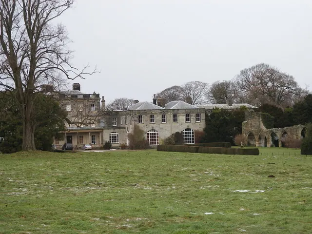
© SMJ · Geograph · CC BY-SA 2.0
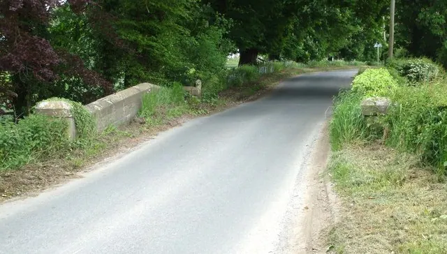
© Matthew Hatton · Geograph · CC BY-SA 2.0
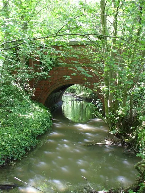
© Matthew Hatton · Geograph · CC BY-SA 2.0
Images © their respective photographers, licensed under CC BY-SA 2.0 and reused here with attribution. Photographs depict listed buildings, churches and monuments near this settlement and may show neighbouring villages.
Data derived from the Open Domesday project (opendomesday.org), based on the Domesday Book dataset compiled by Professor J.J.N. Palmer and team. The Domesday Book (1086) is in the public domain.
Found an inaccuracy? [email protected]