Burton in Lonsdale in the Domesday Book (1086)
The settlement of Burton in Lonsdale is recorded in William I’s Domesday survey of 1086, entered under the hundred of Amounderness in Yorkshire. The survey assessed Burton in Lonsdale at 3.0 carucates of taxable land.
At the time of the survey, Burton in Lonsdale supported a recorded population of 4 villagers, 6 smallholders, 7 slaves, 6 freemanmen, working 6 ploughs between them.
By 1086 Burton in Lonsdale was worth 5.25 shillings, up from 5 shillings before the Conquest – a sign this community came through the Conquest without being ruined.
The survey lists 3 manors at Burton in Lonsdale under different lords. Splitting a single settlement between multiple tenants was common across the North – Saxon estates broken up and handed to William’s followers after 1066.
Resources Recorded at Burton in Lonsdale (1086)
- Churches: 1
- Meadow: 5 acres
- Woodland: 24 pigs
Other Settlements in Amounderness
- Aighton
- Aldcliffe
- Aldingham
- Arkholme
- Aschebi
- Ashton [Hall]
- Ashton [on Ribble]
- Austwick
- Barbon
- Bardsea
- Bare
- Barnoldswick
- Barton
- Beetham
The Meaning of the Name
The name Burton in Lonsdale is of Anglo-Saxon origin. Its final element derives from the Old English word tūn, a farmstead or village. The first element is most likely a personal name or an early descriptive term, now difficult to recover with certainty. Taken together the name probably meant something close to ‘a farmstead’.
Remarkably, the name has changed little since 1086, when the Domesday scribes wrote it as Burton in Lonsdale.
Listed Buildings Near Burton in Lonsdale
Historic England records 33 listed buildings within about a mile of Burton in Lonsdale. Listing protects structures of special architectural or historic interest, graded I (exceptional), II* (particularly important) and II.
Grade II*
Grade II
- Mount Wellington Cottage and Old Corn Mill - 0.08 km
- Town End Cottage - 0.34 km
- 3 and 4, Duke Street - 0.37 km
- Hollins House - 0.37 km
- Frounts Cottage - 0.39 km
- Bleabury House - 0.39 km
- Rosedale, North Cottage and North House - 0.39 km
- Tatham House - 0.42 km
- 1 and 2 Constable Cottages - 0.42 km
- Fern Lea - 0.43 km
- Hillcross House - 0.43 km
- Orchard Cottage - 0.43 km
- Fell House - 0.47 km
- Punch Bowl Hotel - 0.48 km
- The Manor - 0.51 km
- Bull Farmhouse - 0.53 km
- Church View - 0.54 km
- The Cross and Manor House - 0.55 km
- Harris Garth and Stone Bower and Garden Wall and Gateposts - 0.56 km
- Burton Bridge - 0.58 km
- Donkin House - 0.59 km
- Hill House - 0.61 km
- Low Threaber Farmhouse - 0.61 km
…and 9 more listed structures in the area.
Scheduled Monuments Near Burton in Lonsdale
Scheduled monuments are nationally important archaeological sites given legal protection. 1 lies within roughly a mile of Burton in Lonsdale:
- Castle Hill motte and bailey castle - 0.71 km
Burton in Lonsdale Today
Today Burton in Lonsdale lies within the administrative area of Craven, and the settlement recorded a population of 575 at the 2021 census. Nine and a half centuries separate that figure from the small rural community the Domesday survey recorded here in 1086.
Read more about modern Burton in Lonsdale on Wikipedia .
Nearby Domesday Settlements
Other places recorded in the 1086 survey within a few miles:
- Barnoldswick - 1.4 km SE
- Thornton in Lonsdale - 2.2 km NE
- Cantsfield - 3.0 km W
- Ireby - 3.0 km N
- High and Low Bentham - 3.2 km S
- Ingleton - 4.0 km E
Heritage Around Burton [in Lonsdale]
Photographs of churches, listed buildings and monuments in the vicinity, contributed by volunteers to the Geograph project and reused here under a Creative Commons licence.
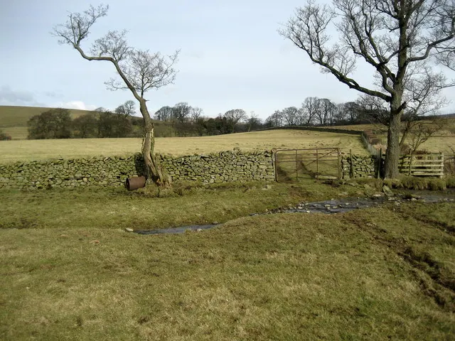
© Chris Heaton · Geograph · CC BY-SA 2.0
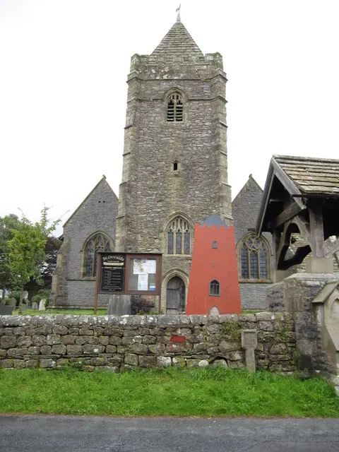
© John S Turner · Geograph · CC BY-SA 2.0
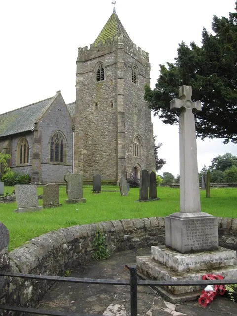
© John S Turner · Geograph · CC BY-SA 2.0
Images © their respective photographers, licensed under CC BY-SA 2.0 and reused here with attribution. Photographs depict listed buildings, churches and monuments near this settlement and may show neighbouring villages.
Data derived from the Open Domesday project (opendomesday.org), based on the Domesday Book dataset compiled by Professor J.J.N. Palmer and team. The Domesday Book (1086) is in the public domain.
Found an inaccuracy? [email protected]