Burton Hall in the Domesday Book (1086)
The settlement of Burton Hall is recorded in William I’s Domesday survey of 1086, entered under the hundred of Barkston in Yorkshire. The survey assessed Burton Hall at 0.5 carucates of taxable land.
At the time of the survey, Burton Hall supported a recorded population of 1 villager, working 1 plough between them.
The valuation dropped between 1066 and 1086. Before 1066, Burton Hall was worth 15d; by 1086 that had dropped to 5d – a fall of 66%. Most Yorkshire villages that lost value on this scale were swept up in the Harrying of the North – William’s scorched-earth campaign of 1069–70.
Other Settlements in Barkston
- Barkston
- Barlow
- Birkin
- Bramham
- Brayton
- Camblesforth
- Carlton
- Clifford
- Drax
- Fairburn
- Grimston [Grange]
- Hambleton
- Hazelwood [Castle]
- Hunchilhuse
The Meaning of the Name
The name Burton Hall is of Anglo-Saxon origin. Its final element derives from the Old English word tūn, a farmstead or village. The first element is most likely a personal name or an early descriptive term, now difficult to recover with certainty. Taken together the name probably meant something close to ‘a farmstead’.
Remarkably, the name has changed little since 1086, when the Domesday scribes wrote it as Burton Hall.
Listed Buildings Near Burton Hall
Historic England records 3 listed buildings within about a mile of Burton Hall. Listing protects structures of special architectural or historic interest, graded I (exceptional), II* (particularly important) and II.
Grade II
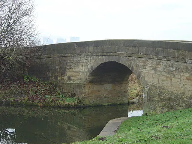
- Burton Bridge at Se 585 289 Selby Canal - 0.5 km
- Milestone Approximately 100 Metres North of Common Lane - 1.18 km
- Barff Farmhouse - 1.28 km
Nearby Domesday Settlements
Other places recorded in the 1086 survey within a few miles:
- Brayton - 2.2 km NE
- Thorpe Willoughby - 2.2 km NW
- Hambleton - 3.6 km NW
- Selby - 4.2 km NE
- Roall Hall - 5.4 km S
- Birkin - 5.8 km SW
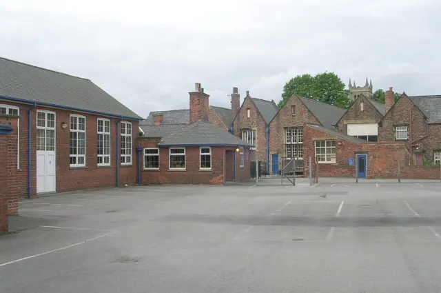
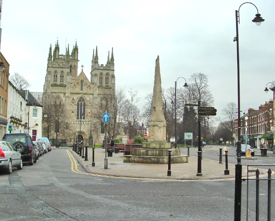
Heritage Around Burton [Hall]
Photographs of churches, listed buildings and monuments in the vicinity, contributed by volunteers to the Geograph project and reused here under a Creative Commons licence.
© Betty Longbottom · Geograph · CC BY-SA 2.0
© Gordon Kneale Brooke · Geograph · CC BY-SA 2.0
© Alan Murray-Rust · Geograph · CC BY-SA 2.0
Images © their respective photographers, licensed under CC BY-SA 2.0 and reused here with attribution. Photographs depict listed buildings, churches and monuments near this settlement and may show neighbouring villages.
Data derived from the Open Domesday project (opendomesday.org), based on the Domesday Book dataset compiled by Professor J.J.N. Palmer and team. The Domesday Book (1086) is in the public domain.
Found an inaccuracy? [email protected]