Burton Dale in the Domesday Book (1086)
The 1086 Domesday survey records the settlement of Burton Dale, entered under the hundred of Dic in Yorkshire.
Other Settlements in Dic
- Aislaby
- Allerston
- Appleton [le Moors]
- Aschelesmersc
- Aschilesmares
- Barton [le Street]
- Baschebi
- Baschesbi
- Brompton
- Burniston
- Cawthorn
- Cayton
- Chigogemers
- Chigomersc
The Meaning of the Name
The name Burton Dale is of Anglo-Saxon origin. Its final element derives from the Old English word tūn, a farmstead or village. The first element is most likely a personal name or an early descriptive term, now difficult to recover with certainty. Taken together the name probably meant something close to ‘a farmstead’.
Remarkably, the name has changed little since 1086, when the Domesday scribes wrote it as Burton Dale.
Listed Buildings Near Burton Dale
Historic England records 11 listed buildings within about a mile of Burton Dale. Listing protects structures of special architectural or historic interest, graded I (exceptional), II* (particularly important) and II.
Grade II
- War Memorial, Oliver’s Mount - 0.63 km
- The Club House at Scarborough Sports and Tennis Club - 0.79 km
- Dunollie - 0.89 km
- Scarborough College - 0.92 km
- 2, FULFORD ROAD (See details for further address information) - 1.07 km
- The former Bramcote Tennis Pavilion - 1.11 km
- Former Holy Trinity Church - 1.12 km
- Church of St James With Holy Trinity (C of E) - 1.18 km
- Red Court - 1.21 km
- Brackencliffe - 1.25 km
- George V Coronation Memorial Clock Tower - 1.26 km
Scheduled Monuments Near Burton Dale
Scheduled monuments are nationally important archaeological sites given legal protection. 6 lie within roughly a mile of Burton Dale:
- Bowl barrow 450m north east of Moor House Farm - 0.82 km
- Bowl barrow 600m north of Moor House Farm - 1.15 km
- Bowl barrow 100m east of Moor House Farm - 1.18 km
- Round barrow 460m south of Oliver’s Mount Farm - 1.2 km
- Bowl barrow 150m north of Moor House Farm - 1.22 km
- Bowl barrow 550m north north west of Moor House Farm - 1.46 km
Nearby Domesday Settlements
Other places recorded in the 1086 survey within a few miles:
- Falsgrave - 1.4 km NW
- High, Middle and Low Deepdale - 2.2 km SE
- Irton - 2.8 km SW
- Thorpefield - 2.8 km SW
- Osgodby - 2.8 km SE
- Seamer - 3.6 km SW
Heritage Around Burton [Dale]
Photographs of churches, listed buildings and monuments in the vicinity, contributed by volunteers to the Geograph project and reused here under a Creative Commons licence.
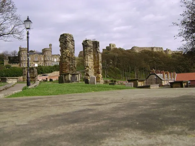
© Maigheach-gheal · Geograph · CC BY-SA 2.0
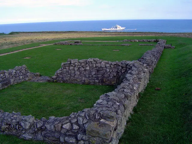
© Scott Robinson · Geograph · CC BY-SA 2.0
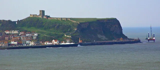
© Peter Church · Geograph · CC BY-SA 2.0
Images © their respective photographers, licensed under CC BY-SA 2.0 and reused here with attribution. Photographs depict listed buildings, churches and monuments near this settlement and may show neighbouring villages.
Data derived from the Open Domesday project (opendomesday.org), based on the Domesday Book dataset compiled by Professor J.J.N. Palmer and team. The Domesday Book (1086) is in the public domain.
Found an inaccuracy? [email protected]