Burton Constable in the Domesday Book (1086)
The 1086 Domesday survey records the settlement of Burton Constable, entered under the hundred of Holderness [Middle Hundred] in Yorkshire. The survey assessed Burton Constable at 1 carucate of taxable land.
At the time of the survey, Burton Constable supported a recorded population of 6 smallholders, 4 slaves, working 3 ploughs between them.
By 1086 Burton Constable was worth 4 shillings, up from 2 shillings before the Conquest – which sets it apart from the many nearby villages left waste or devalued.
Resources Recorded at Burton Constable (1086)
- Churches: 1
- Woodland: 20 swine render
Other Settlements in Holderness [Middle Hundred]
- Aldbrough
- Benningholme [Hall]
- Bewick [Hall]
- Bilton
- Burton [Pidsea]
- Conis[ton]
- Danthorpe
- Dowthorpe [Hall]
- Drypool
- Ellerby
- Elstronwick
- Eske
- Etherdwick
- Fitling
The Meaning of the Name
The name Burton Constable is of Anglo-Saxon origin. Its final element derives from the Old English word tūn, a farmstead or village. The first element is most likely a personal name or an early descriptive term, now difficult to recover with certainty. Taken together the name probably meant something close to ‘a farmstead’.
Remarkably, the name has changed little since 1086, when the Domesday scribes wrote it as Burton Constable.
Listed Buildings Near Burton Constable
Historic England records 11 listed buildings within about a mile of Burton Constable. Listing protects structures of special architectural or historic interest, graded I (exceptional), II* (particularly important) and II.
Grade I
- Burton Constable Hall - 0.4 km
- Stables and Carriage House Approximately 20 Metres to South-east of Burton Constable Hall - 0.4 km
Grade II*
- The Orangery Approximately 10 Metres to South-west of Burton Constable Hall - 0.31 km
- The Menagerie Approximately 45 Metres to West of Burton Constable Hall - 0.33 km
Grade II
- Ha-ha Approximately 20 Metres to South of Burton Constable Hall - 0.32 km
- Bridge Over the Lake Approxiately 35 Metres to South-west of Burton Constable Hall - 0.43 km
- Gardeners Cottage Approximately 25 Metres to South-east of Burton Constable Hall - 0.46 km
- Garden Cottage Approximately 50 Metres to West of Burton Constable Hall - 0.54 km
- Head Gardener’s Cottage Approximately 54 Metres to West of Burton Constable Hall - 0.56 km
- Tower House - 0.88 km
- Old Lodge Approximately 100 Metres to South-west of Burton Constable Hall - 0.96 km
Scheduled Monuments Near Burton Constable
Scheduled monuments are nationally important archaeological sites given legal protection. 1 lies within roughly a mile of Burton Constable:
Burton Constable Today
Today Burton Constable lies within the administrative area of East Riding of Yorkshire, and the settlement recorded a population of 115 at the 2021 census. Nine and a half centuries separate that figure from the small rural community the Domesday survey recorded here in 1086.
Read more about modern Burton Constable on Wikipedia .
Nearby Domesday Settlements
Other places recorded in the 1086 survey within a few miles:
Heritage Around Burton [Constable]
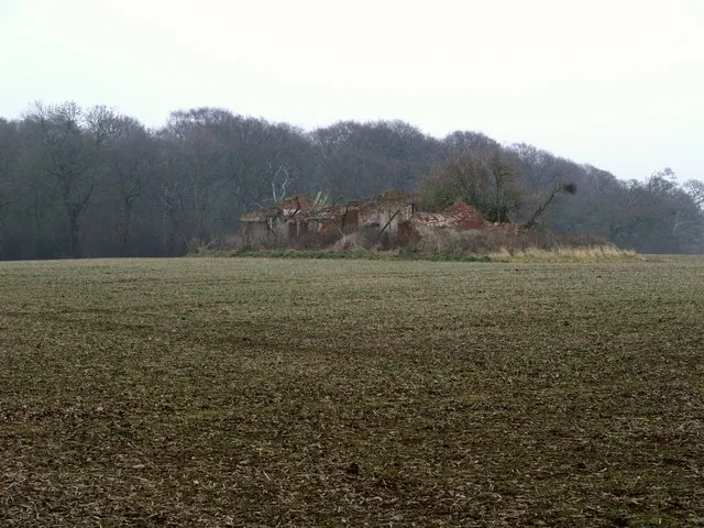
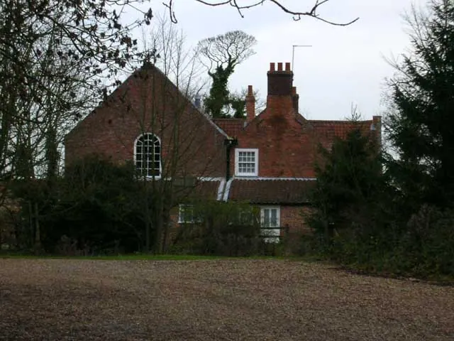
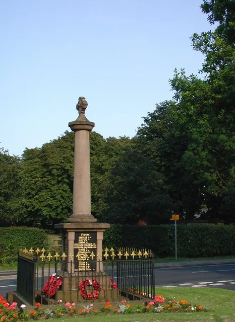
Photographs of churches, listed buildings and monuments in the vicinity, contributed by volunteers to the Geograph project and reused here under a Creative Commons licence.
© Andy Beecroft · Geograph · CC BY-SA 2.0
© Lynne Glazzard · Geograph · CC BY-SA 2.0
© Paul Glazzard · Geograph · CC BY-SA 2.0
Images © their respective photographers, licensed under CC BY-SA 2.0 and reused here with attribution. Photographs depict listed buildings, churches and monuments near this settlement and may show neighbouring villages.
Location
53.8110°N, -0.2001°W · Holderness [Middle Hundred] hundred, Yorkshire
View larger map on OpenStreetMap →Data derived from the Open Domesday project (opendomesday.org), based on the Domesday Book dataset compiled by Professor J.J.N. Palmer and team. The Domesday Book (1086) is in the public domain.
Found an inaccuracy? [email protected]