Burton in the Domesday Book (1086)
The 1086 Domesday survey records the settlement of Burton, entered under the hundred of Amounderness in Yorkshire. The survey assessed Burton at 12.1 carucates of taxable land.
At the time of the survey, Burton supported a recorded population of 14 villagers, 15 smallholders, 11 freemanmen, working 21 ploughs between them.
By 1086 Burton was worth 36 shillings, up from 30 shillings before the Conquest – which sets it apart from the many nearby villages left waste or devalued.
Resources Recorded at Burton (1086)
- Mills: 2 mills (valued at 1.66 shillings)
- Meadow: 8 acres
Other Settlements in Amounderness
- Aighton
- Aldcliffe
- Aldingham
- Arkholme
- Aschebi
- Ashton [Hall]
- Ashton [on Ribble]
- Austwick
- Barbon
- Bardsea
- Bare
- Barnoldswick
- Barton
- Beetham
The Meaning of the Name
The name Burton is of Anglo-Saxon origin. Its final element derives from the Old English word tūn, a farmstead or village. The first element is most likely a personal name or an early descriptive term, now difficult to recover with certainty. Taken together the name probably meant something close to ‘a farmstead’.
Remarkably, the name has changed little since 1086, when the Domesday scribes wrote it as Burton.
Listed Buildings Near Burton
Historic England records 27 listed buildings within about a mile of Burton. Listing protects structures of special architectural or historic interest, graded I (exceptional), II* (particularly important) and II.
Grade II*
Grade II
- No 1, the Post Office and Nos 2-4 the Square (East Side) - 0.56 km
- Royal Hotel - 0.57 km
- The Square House - 0.57 km
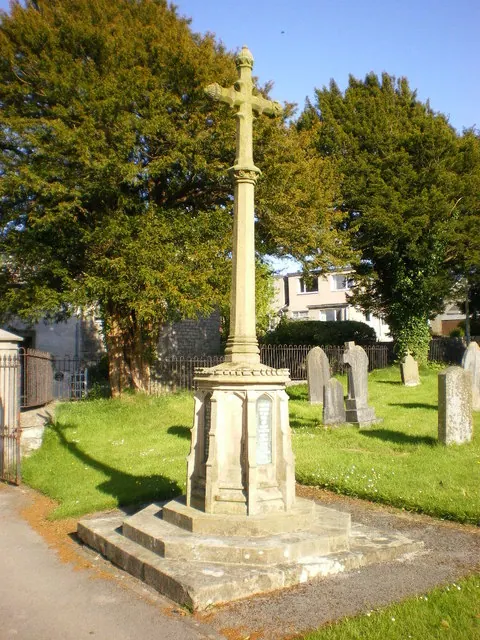
- Market Cross - 0.57 km
- The Globe - 0.58 km
- Lamp Post at Centre of Square - 0.58 km
- Devenant House - 0.59 km
- Nos 1-4 and no 5, the Bakery, Chester Terrace - 0.59 km
- Hill House - 0.59 km
- Old Bank Cottage and Aysgarth Cottage - 0.59 km
- Hutton House - 0.6 km
- 1-4, the Square (West Side) - 0.6 km
- The Coach House - 0.61 km
- Kings Arms Hotel - 0.61 km
- Laurel Cottage - 0.62 km
- Manor House - 0.63 km
- Fern Bank and Cottage Attached to Right - 0.64 km
- Coach House, Stables and Hayloft Circa 4 Metres South of Burton Hall - 0.65 km
- Walls, Gatepiers, Gates and Lamps at Front Entrance to Burton House - 0.66 km
- Privies Circa 10 Metres South of Burton Hall - 0.66 km
- Burton Hall - 0.67 km
- Mansion House - 0.68 km
- Hordley House - 0.69 km
…and 3 more listed structures in the area.
Scheduled Monuments Near Burton
Scheduled monuments are nationally important archaeological sites given legal protection. 2 lie within roughly a mile of Burton:
- Romano-British farmstead immediately south of Russell Farm - 0.76 km
- Dalton medieval village and parts of its associated medieval open field system centred 620m ENE of Dalton Hall - 0.93 km
Burton Today
Today Burton lies within the administrative area of Westmorland and Furness, and the settlement recorded a population of 1,472 at the 2021 census. Nine and a half centuries separate that figure from the small rural community the Domesday survey recorded here in 1086.
Read more about modern Burton-in-Kendal on Wikipedia .
Nearby Domesday Settlements
Other places recorded in the 1086 survey within a few miles:
- Dalton - 1.0 km E
- Holme - 2.2 km NW
- Priest Hutton - 3.0 km S
- Yealand Conyers and Redmayne - 3.2 km W
- Borwick - 3.2 km S
- Hutton Roof - 4.5 km NE
Heritage Around Burton
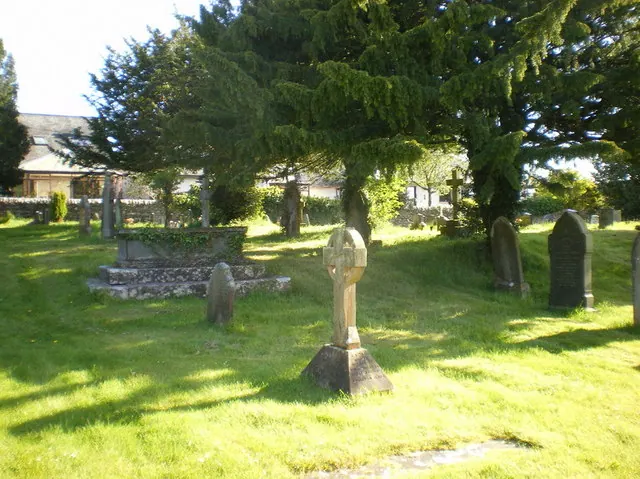
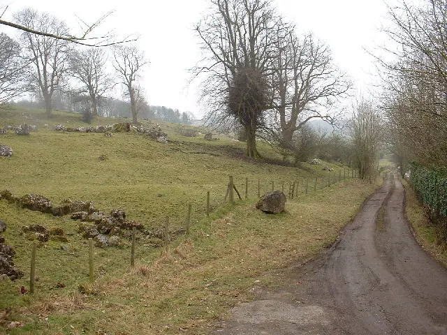
Photographs of churches, listed buildings and monuments in the vicinity, contributed by volunteers to the Geograph project and reused here under a Creative Commons licence.
© Alexander P Kapp · Geograph · CC BY-SA 2.0
© Alexander P Kapp · Geograph · CC BY-SA 2.0
© David Medcalf · Geograph · CC BY-SA 2.0
Images © their respective photographers, licensed under CC BY-SA 2.0 and reused here with attribution. Photographs depict listed buildings, churches and monuments near this settlement and may show neighbouring villages.
Data derived from the Open Domesday project (opendomesday.org), based on the Domesday Book dataset compiled by Professor J.J.N. Palmer and team. The Domesday Book (1086) is in the public domain.
Found an inaccuracy? [email protected]