Burton Agnes in the Domesday Book (1086)
Burton Agnes is named in the Domesday Book, compiled by Norman commissioners in 1086, entered under the hundred of Burton in Yorkshire.
Other Settlements in Burton
- Binnington
- Boythorpe
- Butterwick
- Carnaby
- Fornetorp
- Ganton
- Gransmoor
- Haisthorpe
- Harpham
- Kilham
- Langtoft
- Lowthorpe
- Octon
- Rudston
The Meaning of the Name
The name Burton Agnes is of Anglo-Saxon origin. Its final element derives from the Old English word tūn, a farmstead or village. The first element is most likely a personal name or an early descriptive term, now difficult to recover with certainty. Taken together the name probably meant something close to ‘a farmstead’.
Remarkably, the name has changed little since 1086, when the Domesday scribes wrote it as Burton Agnes.
Listed Buildings Near Burton Agnes
Historic England records 24 listed buildings within about a mile of Burton Agnes. Listing protects structures of special architectural or historic interest, graded I (exceptional), II* (particularly important) and II.
Grade I
- Burton Agnes Hall - 0.38 km
- Gatehouse With Walls and Sets of Gate Piers Adjoining to Front of Burton Agnes Hall - 0.41 km
- Burton Agnes Manor House - 0.42 km
- Remains of Treadmill and Bakery With Attached Wall at Burton Agnes Hall - 0.43 km
- Church of St Martin - 0.46 km
Grade II
- Walls and Gate Piers to North, East and West of Walled Garden at Burton Agnes Hall and Abutting Gatehouse - 0.29 km
- Sundial Approximately 20 Metres to North East of Burton Agnes Hall - 0.31 km
- Figure of Angel With Horn in the Water Garden Approximately 15 Metres to East of Burton Agnes Hall - 0.32 km
- Statue of Mercury in the Water Garden Approximately 15 Metres to East of Burton Agnes Hall - 0.32 km
- Home Farmhouse - 0.36 km
- Manor Farm Cottage - 0.37 km
- Garden Statue of A Peasant Girl Approximately 15 Metres to South of Burton Agnes Hall - 0.38 km
- Statue of A Warrior Approximately 18 Metres to South of Burton Agnes Hall - 0.4 km
- Garden Statue of A Peasant Boy Approximately 15 Metres to South of Burton Agnes Hall - 0.41 km
- Statue of Boy With Quiver Approximately 50 Metres to North of Burton Agnes Hall - 0.42 km
- Former Methodist Church - 0.43 km
- Gate Piers and Walls to South West and West of South Garden and Wall, Gate Piers, Mounting Blocks and Dog Kennel to South and West of Manor House at Burton Agnes Hall - 0.44 km
- Stables and Coach House to Burton Agnes Hall - 0.47 km
- Church Farmhouse - 0.49 km
- The Old Rectory - 0.52 km
- Manor Farmhouse - 0.99 km
- Former Holdings Shed Approximately 45 Metres to North West of Burton Agnes - 1.08 km
- Station House - 1.11 km
- Ground level signal box at the former Burton Agnes Railway Station - 1.12 km
Scheduled Monuments Near Burton Agnes
Scheduled monuments are nationally important archaeological sites given legal protection. 1 lies within roughly a mile of Burton Agnes:
- Burton Agnes 12th-century manor house - 0.43 km
Burton Agnes Today
Today Burton Agnes lies within the administrative area of East Riding of Yorkshire, and the settlement recorded a population of 466 at the 2021 census. Nine and a half centuries separate that figure from the small rural community the Domesday survey recorded here in 1086.
Read more about modern Burton Agnes on Wikipedia .
Nearby Domesday Settlements
Other places recorded in the 1086 survey within a few miles:
- Thornholme - 1.0 km E
- Haisthorpe - 2.2 km NE
- Harpham - 2.2 km SW
- Kilham - 4.1 km W
- Low Caythorpe - 4.1 km N
- Little Kelk - 4.1 km S
Heritage Around Burton [Agnes]
Photographs of churches, listed buildings and monuments in the vicinity, contributed by volunteers to the Geograph project and reused here under a Creative Commons licence.
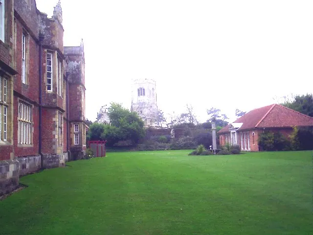
© Derek Hayden · Geograph · CC BY-SA 2.0
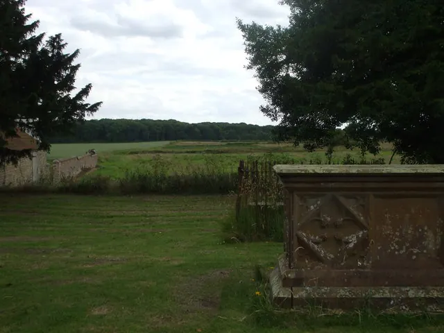
© nick macneill · Geograph · CC BY-SA 2.0
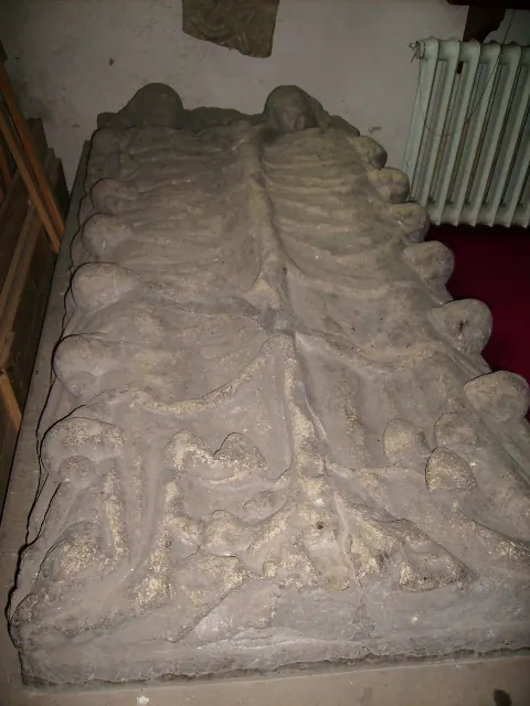
© Phil Catterall · Geograph · CC BY-SA 2.0
Images © their respective photographers, licensed under CC BY-SA 2.0 and reused here with attribution. Photographs depict listed buildings, churches and monuments near this settlement and may show neighbouring villages.
Data derived from the Open Domesday project (opendomesday.org), based on the Domesday Book dataset compiled by Professor J.J.N. Palmer and team. The Domesday Book (1086) is in the public domain.
Found an inaccuracy? [email protected]