Burn Hall in the Domesday Book (1086)
The settlement of Burn Hall is recorded in William I’s Domesday survey of 1086, entered under the hundred of Amounderness in Yorkshire. The survey assessed Burn Hall at 5.4 carucates of taxable land.
At the time of the survey, Burn Hall supported a recorded population of 2 villagers, 17 smallholders, 2 slaves, 6 freemanmen, working 8 ploughs between them.
By 1086 Burn Hall was worth 8.7 shillings, up from 5 shillings before the Conquest – a sign this community came through the Conquest without being ruined.
The survey lists 6 manors at Burn Hall under different lords. Splitting a single settlement between multiple tenants was common across the North – Saxon estates broken up and handed to William’s followers after 1066.
Resources Recorded at Burn Hall (1086)
- Churches: 1
- Cattle: 15
- Pigs: 65
- Sheep: 194
- Horses (cobs): 5
- Meadow: 6 None
- Woodland: 10 None
Other Settlements in Amounderness
- Aighton
- Aldcliffe
- Aldingham
- Arkholme
- Aschebi
- Ashton [Hall]
- Ashton [on Ribble]
- Austwick
- Barbon
- Bardsea
- Bare
- Barnoldswick
- Barton
- Beetham
The Meaning of the Name
The origin of the name Burn Hall is not securely established from its modern form alone; like many settlement names in the North it likely combines an Old English or Old Norse personal name with a landscape term.
Remarkably, the name has changed little since 1086, when the Domesday scribes wrote it as Burn Hall.
Nearby Domesday Settlements
Other places recorded in the 1086 survey within a few miles:
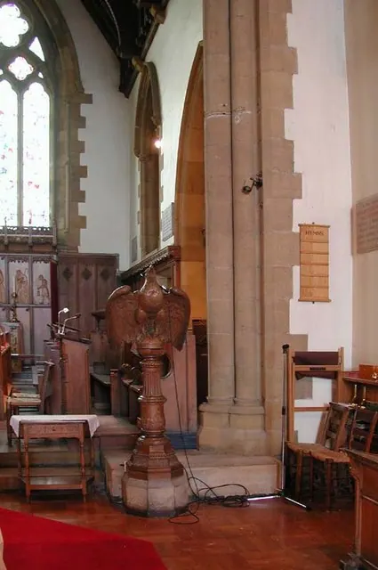
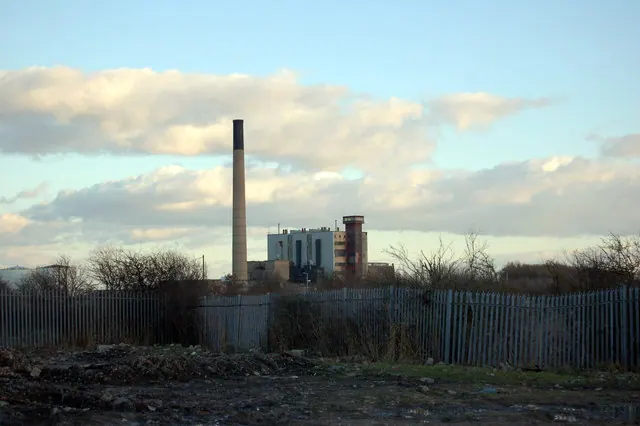
Heritage Around Burn [Hall]
Photographs of churches, listed buildings and monuments in the vicinity, contributed by volunteers to the Geograph project and reused here under a Creative Commons licence.
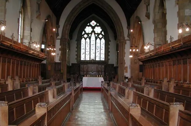
© John Salmon · Geograph · CC BY-SA 2.0
© John Salmon · Geograph · CC BY-SA 2.0
© Keith Wright · Geograph · CC BY-SA 2.0
Images © their respective photographers, licensed under CC BY-SA 2.0 and reused here with attribution. Photographs depict listed buildings, churches and monuments near this settlement and may show neighbouring villages.
Data derived from the Open Domesday project (opendomesday.org), based on the Domesday Book dataset compiled by Professor J.J.N. Palmer and team. The Domesday Book (1086) is in the public domain.
Found an inaccuracy? [email protected]