Burley in the Domesday Book (1086)
The 1086 Domesday survey records the settlement of Burley, entered under the hundred of Blackwell in Derbyshire.
Other Settlements in Blackwell
- Abney
- Ashford [-in-the-Water]
- Aston
- Bakewell
- Bamford
- Baslow
- Beeley
- Birchills
- Birchover
- Blackwell
- Bradwell
- Bubnell
- Burton
- Calver
The Meaning of the Name
The name Burley is of Anglo-Saxon origin. Its final element derives from the Old English word lēah, a woodland clearing or glade. The first element is most likely a personal name or an early descriptive term, now difficult to recover with certainty. Taken together the name probably meant something close to ‘a clearing’.
Remarkably, the name has changed little since 1086, when the Domesday scribes wrote it as Burley.
Listed Buildings Near Burley
Historic England records 7 listed buildings within about a mile of Burley. Listing protects structures of special architectural or historic interest, graded I (exceptional), II* (particularly important) and II.
Grade II
- Wingate Cottage - 0.67 km
- Garden Boundary Walls to Former Whitworth Estate Garden on Whitworth Road, Foggs Hill and Bent Lane, Including Vr Post Box to Sw - 0.83 km
- Garden Boundary walls including gate piers to east of Stancliffe Hall - 0.84 km
- Stancliffe Hall - 0.98 km
- Boundary Walls to Former Whitworth Estate - 1.15 km
- Grouse Inn - 1.28 km
- West Lodge - 1.28 km
Scheduled Monuments Near Burley
Scheduled monuments are nationally important archaeological sites given legal protection. 2 lie within roughly a mile of Burley:
- Cairnfield 650m north west of Bumper Castle - 1.05 km
- Ring cairn and cairn 750m north west of Bumper Castle - 1.46 km
Nearby Domesday Settlements
Other places recorded in the 1086 survey within a few miles:
Heritage Around Burley
Photographs of churches, listed buildings and monuments in the vicinity, contributed by volunteers to the Geograph project and reused here under a Creative Commons licence.
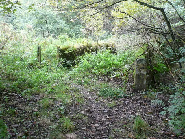
© Alan Heardman · Geograph · CC BY-SA 2.0
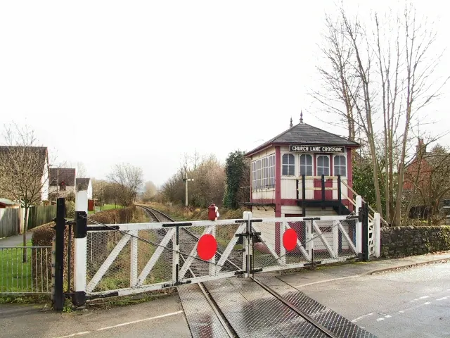
© Roger May · Geograph · CC BY-SA 2.0
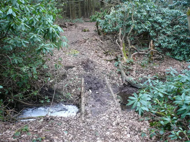
© Alan Heardman · Geograph · CC BY-SA 2.0
Images © their respective photographers, licensed under CC BY-SA 2.0 and reused here with attribution. Photographs depict listed buildings, churches and monuments near this settlement and may show neighbouring villages.
Data derived from the Open Domesday project (opendomesday.org), based on the Domesday Book dataset compiled by Professor J.J.N. Palmer and team. The Domesday Book (1086) is in the public domain.
Found an inaccuracy? [email protected]