Burley in Wharfedale in the Domesday Book (1086)
The settlement of Burley in Wharfedale is recorded in William I’s Domesday survey of 1086, entered under the hundred of Skyrack in Yorkshire.
Other Settlements in Skyrack
- Adel
- Allerton [Bywater]
- Alwoodley
- Arthington
- Austhorpe
- Baildon
- Bardsey
- Barwick [in Elmet]
- Bichertun
- Bicherun
- Bingley
- Birkby [Hill]
- Bramhope
- Burden [Head]
The Meaning of the Name
The name Burley in Wharfedale is of Anglo-Saxon origin. Its final element derives from the Old English word lēah, a woodland clearing or glade. The first element is most likely a personal name or an early descriptive term, now difficult to recover with certainty. Taken together the name probably meant something close to ‘a clearing’.
Remarkably, the name has changed little since 1086, when the Domesday scribes wrote it as Burley in Wharfedale.
Listed Buildings Near Burley in Wharfedale
Historic England records 53 listed buildings within about a mile of Burley in Wharfedale. Listing protects structures of special architectural or historic interest, graded I (exceptional), II* (particularly important) and II.
Grade II
- Burley in Wharfedale Congregational Church - 0.08 km
- Gazebo to East of the Grange - 0.09 km
- 86-112, Main Street - 0.1 km
- The Grange - 0.11 km
- 81, 83, 85 and 87, Main Street - 0.13 km
- Old Grammar School - 0.14 km
- 79, Main Street - 0.15 km
- 3 Gatepiers at Entrance to Greenholme Estate - 0.16 km
- 71, Main Street - 0.17 km
- 73-77, Main Street - 0.17 km
- Hill Top House - 0.24 km
- 54, 56 and 58, Main Street - 0.26 km
- Stoney Royd - 0.26 km
- 50 and 52, Main Street - 0.28 km
- 1, 3 AND 5, YORK ROAD (See details for further address information) - 0.29 km
- Burley in Wharfdale Methodist Church - 0.31 km
- Former Wesleyan Chapel - 0.33 km
- Dial House - 0.4 km
- The Malt Shovel Hotel - 0.47 km
- Viaduct and Bridge South of Mill Pond - 0.49 km
- Wall around ground south of mill pond, along Main Street east of Malt Shovel and along west side of Corn Hill Lane - 0.49 km
- 24-30 and 30A, Main Street and 2, Post Office Yard - 0.51 km
- Piers and Gates of entrance to Burley Hall from Corn Mill Lane - 0.52 km
- Parish Church of St Mary - 0.53 km
…and 29 more listed structures in the area.
Scheduled Monuments Near Burley in Wharfedale
Scheduled monuments are nationally important archaeological sites given legal protection. 1 lies within roughly a mile of Burley in Wharfedale:
Burley in Wharfedale Today
Today Burley in Wharfedale lies within the administrative area of Burley, and the settlement recorded a population of 7,041 at recent figures. Nine and a half centuries separate that figure from the small rural community the Domesday survey recorded here in 1086.
Read more about modern Burley in Wharfedale on Wikipedia .
Nearby Domesday Settlements
Other places recorded in the 1086 survey within a few miles:
Heritage Around Burley [in Wharfedale]
Photographs of churches, listed buildings and monuments in the vicinity, contributed by volunteers to the Geograph project and reused here under a Creative Commons licence.
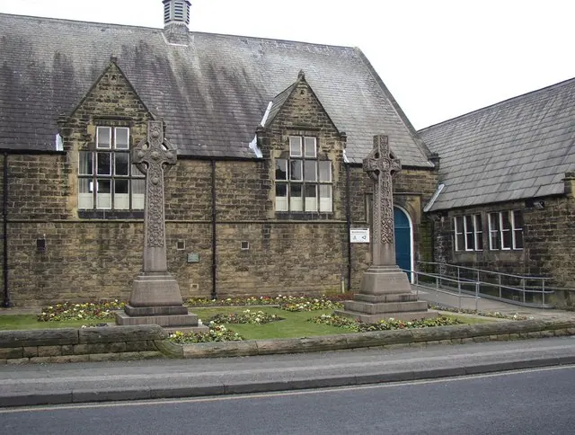
© Humphrey Bolton · Geograph · CC BY-SA 2.0
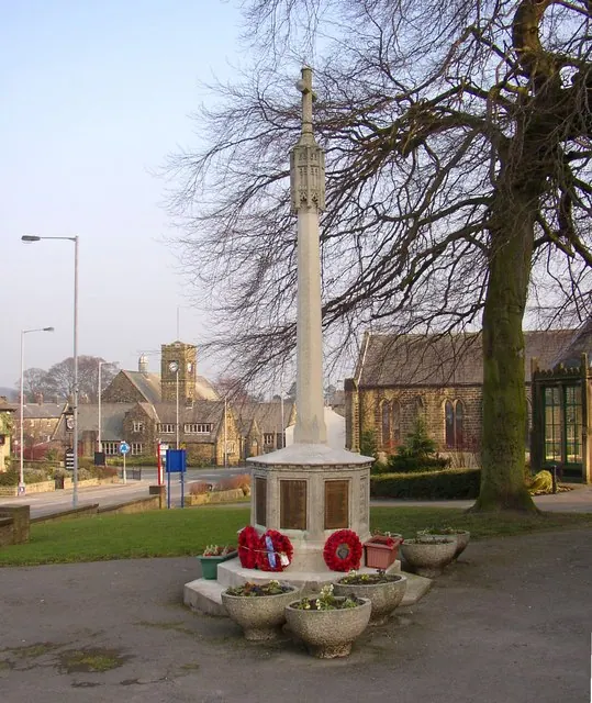
© Humphrey Bolton · Geograph · CC BY-SA 2.0
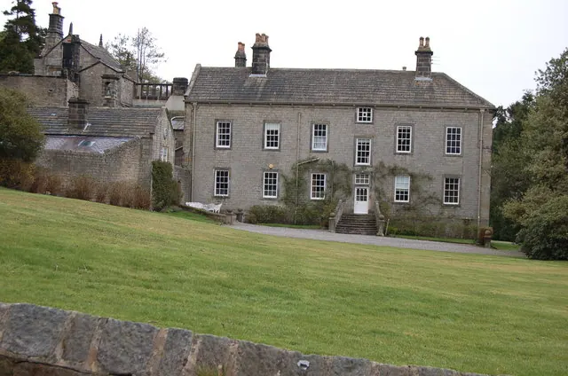
© John Sparshatt · Geograph · CC BY-SA 2.0
Images © their respective photographers, licensed under CC BY-SA 2.0 and reused here with attribution. Photographs depict listed buildings, churches and monuments near this settlement and may show neighbouring villages.
Data derived from the Open Domesday project (opendomesday.org), based on the Domesday Book dataset compiled by Professor J.J.N. Palmer and team. The Domesday Book (1086) is in the public domain.
Found an inaccuracy? [email protected]