Bugthorpe in the Domesday Book (1086)
The settlement of Bugthorpe is recorded in William I’s Domesday survey of 1086, entered under the hundred of Acklam in Yorkshire. The survey assessed Bugthorpe at 2.6 carucates of taxable land.
At the time of the survey, Bugthorpe supported a recorded population of 10 villagers, 4 smallholders, 3 slaves, working 3 ploughs between them.
The survey puts Bugthorpe’s value at 2.1 shillings, the same as before the Conquest. Unchanged valuations are relatively rare in the North, where disruption was widespread.
The survey lists 3 manors at Bugthorpe under different lords. Splitting a single settlement between multiple tenants was common across the North – Saxon estates broken up and handed to William’s followers after 1066.
Other Settlements in Acklam
- Acklam
- Barthorpe [Grange]
- Burythorpe
- Eddlethorpe
- Firby
- Fridaythorpe
- Garrowby [Hall]
- Howsham
- Kirby [Underdale]
- Kirkham
- Leavening
- Leppington
- Menethorpe
- Raisthorpe
The Meaning of the Name
The name Bugthorpe is of Scandinavian origin. Its final element derives from the Old Norse word þorp, an outlying or secondary farmstead. The first element is most likely a personal name or an early descriptive term, now difficult to recover with certainty. Taken together the name probably meant something close to ‘a outlying farm’.
Names of this type are a fingerprint of Scandinavian settlement: they cluster across the old Danelaw, where Norse-speaking settlers renamed or founded villages from the late 9th century onward.
Remarkably, the name has changed little since 1086, when the Domesday scribes wrote it as Bugthorpe.
Listed Buildings Near Bugthorpe
Historic England records 5 listed buildings within about a mile of Bugthorpe. Listing protects structures of special architectural or historic interest, graded I (exceptional), II* (particularly important) and II.
Grade I
- Church of St Andrew - 0.54 km
Grade II*
- Low Hall - 0.8 km
Grade II
- Freestone House - 0.51 km
- Corner Farmhouse - 0.61 km
- Methodist Chapel - 0.7 km
Scheduled Monuments Near Bugthorpe
Scheduled monuments are nationally important archaeological sites given legal protection. 1 lies within roughly a mile of Bugthorpe:
- Kitty Hill round barrow - 1.03 km
Bugthorpe Today
Today Bugthorpe lies within the administrative area of East Riding of Yorkshire, and the settlement recorded a population of 125 at the 2021 census. Nine and a half centuries separate that figure from the small rural community the Domesday survey recorded here in 1086.
Read more about modern Bugthorpe on Wikipedia .
Nearby Domesday Settlements
Other places recorded in the 1086 survey within a few miles:
- Thoralby Hall - 1.0 km N
- Garrowby Hall - 2.0 km E
- Barthorpe Grange - 2.0 km N
- Youlthorpe - 2.2 km SW
- Bishop Wilton - 2.8 km SE
- Scardiztorp - 3.0 km W
Heritage Around Bugthorpe
Photographs of churches, listed buildings and monuments in the vicinity, contributed by volunteers to the Geograph project and reused here under a Creative Commons licence.
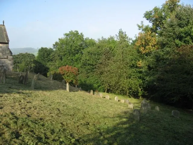
© Roger Gilbertson · Geograph · CC BY-SA 2.0
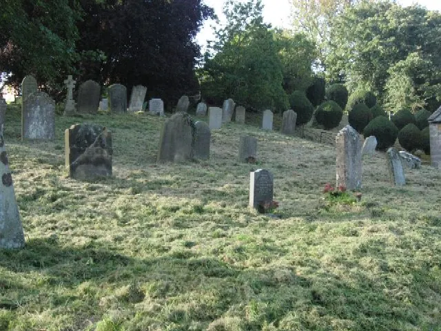
© Roger Gilbertson · Geograph · CC BY-SA 2.0
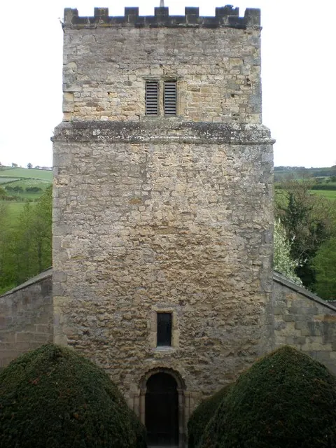
© Dr Patty McAlpin · Geograph · CC BY-SA 2.0
Images © their respective photographers, licensed under CC BY-SA 2.0 and reused here with attribution. Photographs depict listed buildings, churches and monuments near this settlement and may show neighbouring villages.
Data derived from the Open Domesday project (opendomesday.org), based on the Domesday Book dataset compiled by Professor J.J.N. Palmer and team. The Domesday Book (1086) is in the public domain.
Found an inaccuracy? [email protected]