Buckton Holms in the Domesday Book (1086)
The 1086 Domesday survey records the settlement of Buckton Holms, entered under the hundred of Scard in Yorkshire. The survey assessed Buckton Holms at 0.2 carucates of taxable land.
At the time of the survey, Buckton Holms supported a recorded population of 3 smallholders, 3 slaves.
The survey records Buckton Holms’s value at 10d in 1086. No pre-Conquest figure survives – not unusual in the North, where records were disrupted by the Harrying and by the patchy coverage of the survey.
Other Settlements in Scard
- Birdsall
- Burdale
- Duggleby
- Kennythorpe
- Langton
- Linton
- Norton
- Rillington
- Scagglethorpe
- Scampston
- Settrington
- Sutton [Grange]
- Thorpe [Bassett]
- Towthorpe
The Meaning of the Name
The name Buckton Holms is of Anglo-Saxon origin. Its final element derives from the Old English word tūn, a farmstead or village. The first element is most likely a personal name or an early descriptive term, now difficult to recover with certainty. Taken together the name probably meant something close to ‘a farmstead’.
Remarkably, the name has changed little since 1086, when the Domesday scribes wrote it as Buckton Holms.
Listed Buildings Near Buckton Holms
Historic England records 13 listed buildings within about a mile of Buckton Holms. Listing protects structures of special architectural or historic interest, graded I (exceptional), II* (particularly important) and II.
Grade II*
- Riding School approximately 25 metres north-west of Settrington House - 1.01 km
- Church of All Saints - 1.04 km
Grade II
- Settrington House - 0.95 km
- Stable block approximately 20 metres west of Settrington House - 0.98 km
- Pavilion Approximately 20 Metres North of Settrington House - 0.98 km
- Canal Approximately 200 Metres North East of Settrington House - 0.98 km
- Pavilion Approximately 10 Metres North of Settrington House - 0.99 km
- Pavilion Approximately 40 Metres North of Settrington House - 1.0 km
- Pavilion Approximately 30 Metres North of Settrington House - 1.01 km
- Range of Outbuildings Approximately 45 Metres North of Settrington House - 1.01 km
- Mill House - 1.21 km
- Glebe House - 1.28 km
- Greystone House - 1.29 km
Scheduled Monuments Near Buckton Holms
Scheduled monuments are nationally important archaeological sites given legal protection. 1 lies within roughly a mile of Buckton Holms:
Nearby Domesday Settlements
Other places recorded in the 1086 survey within a few miles:
- Settrington - 1.4 km NW
- North Grimston - 2.0 km S
- Scagglethorpe - 3.2 km N
- Duggleby - 3.6 km SE
- Thorpe Bassett - 4.1 km N
- Wharram le Street - 4.5 km SE
Heritage Around Buckton [Holms]
Photographs of churches, listed buildings and monuments in the vicinity, contributed by volunteers to the Geograph project and reused here under a Creative Commons licence.
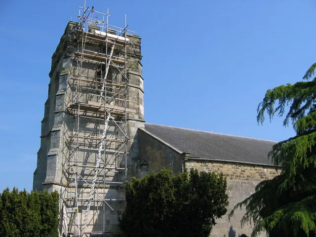
© Stephen Horncastle · Geograph · CC BY-SA 2.0
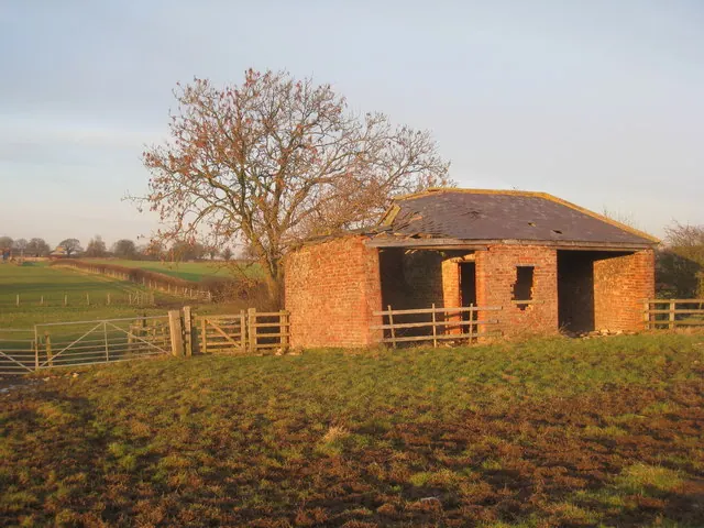
© Jonathan Thacker · Geograph · CC BY-SA 2.0
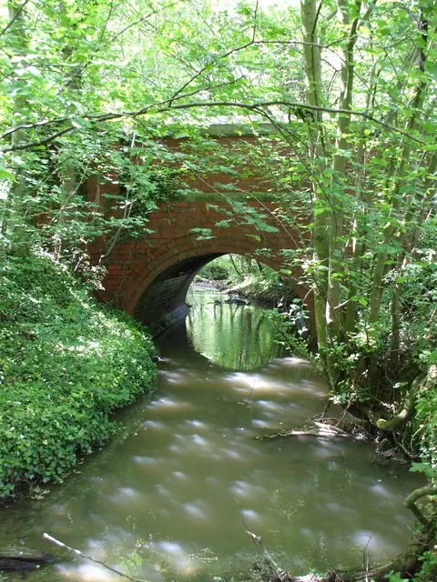
© Matthew Hatton · Geograph · CC BY-SA 2.0
Images © their respective photographers, licensed under CC BY-SA 2.0 and reused here with attribution. Photographs depict listed buildings, churches and monuments near this settlement and may show neighbouring villages.
Data derived from the Open Domesday project (opendomesday.org), based on the Domesday Book dataset compiled by Professor J.J.N. Palmer and team. The Domesday Book (1086) is in the public domain.
Found an inaccuracy? [email protected]