Broughton in the Domesday Book (1086)
Broughton is named in the Domesday Book, compiled by Norman commissioners in 1086, entered under the hundred of Craven in Yorkshire.
Other Settlements in Craven
- Addingham
- Airton
- Anley
- Appletreewick
- Arncliffe
- Arnford
- Barnoldswick
- Bashall [Eaves]
- Battersby [Barn]
- Beamsley
- Birkby [Hall]
- Bogeuurde
- Bolton [Abbey]
- Bolton [by Bowland]
The Meaning of the Name
The name Broughton is of Anglo-Saxon origin. Its final element derives from the Old English word tūn, a farmstead or village. The first element is most likely a personal name or an early descriptive term, now difficult to recover with certainty. Taken together the name probably meant something close to ‘a farmstead’.
Remarkably, the name has changed little since 1086, when the Domesday scribes wrote it as Broughton.
Listed Buildings Near Broughton
Historic England records 29 listed buildings within about a mile of Broughton. Listing protects structures of special architectural or historic interest, graded I (exceptional), II* (particularly important) and II.
Grade I
- Broughton Hall - 0.7 km
Grade II
- Bull Inn - 0.43 km
- Middle Lodge and Attached Gatepiers and Gates at Broughton Hall - 0.45 km
- Garden Pavilion and Attached Northern Wall to Formal Garden at Broughton Hall - 0.64 km
- Terrace Wall to North Broughton Hall - 0.65 km
- Statue by Garden Pavilion at Broughton Hall - 0.65 km
- Retaining Walls, Steps and Fountain to East and South of Formal Garden at Broughton Hall - 0.7 km
- East Lodge to Broughton Hall - 0.74 km
- Gatepiers and Gates on Drive to West Lodge to Broughton Hall - 0.75 km
- Entrance Screen at East Lodge to Broughton Hall - 0.75 km
- Game Larder at Broughton Hall - 0.78 km
- Entrance Screen at West Lodge to Broughton Hall - 0.79 km
- West Lodge to Broughton Hall and Attached Screen Wall and Gatepiers - 0.81 km
- Coach House at Broughton Hall - 0.81 km
- Pinetum Barn at Broughton Hall - 0.81 km
- Sawmill at Broughton Hall - 0.84 km
- Shippons at Home Farm Broughton Hall - 0.86 km
- Carthouse 10 Metres South East of Shippons at Home Farm, Broughton Hall - 0.87 km
- Hay Barn South of Shippons at Home Farm, Broughton Hall - 0.88 km
- Carthouse 5 Metres South of Shippons at Home Farm, Broughton Hall - 0.89 km
- The Manse - 0.94 km
- The Watermill (formerly Broughton Mill) - 0.95 km
- Primrose House - 1.04 km
- Boundary Stone (At Ngr Sd 9517 5236) - 1.05 km
…and 5 more listed structures in the area.
Broughton Today
Today Broughton lies within the administrative area of North Yorkshire, and the settlement recorded a population of 67 at the 2021 census. Nine and a half centuries separate that figure from the small rural community the Domesday survey recorded here in 1086.
Read more about modern Broughton on Wikipedia .
Nearby Domesday Settlements
Other places recorded in the 1086 survey within a few miles:
- Thorlby - 2.2 km NE
- Gargrave - 2.2 km NW
- Elslack - 2.2 km SW
- Holme House - 3.0 km N
- Bank Newton - 3.6 km NW
- Carleton - 3.6 km SE
Heritage Around Broughton
Photographs of churches, listed buildings and monuments in the vicinity, contributed by volunteers to the Geograph project and reused here under a Creative Commons licence.
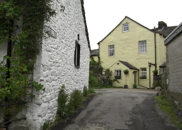
© michael ely · Geograph · CC BY-SA 2.0
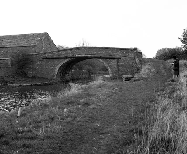
© Dr Neil Clifton · Geograph · CC BY-SA 2.0
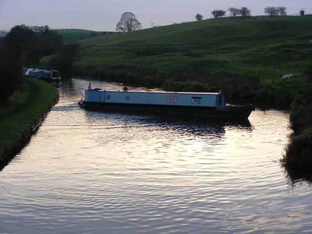
© Allan Friswell · Geograph · CC BY-SA 2.0
Images © their respective photographers, licensed under CC BY-SA 2.0 and reused here with attribution. Photographs depict listed buildings, churches and monuments near this settlement and may show neighbouring villages.
Data derived from the Open Domesday project (opendomesday.org), based on the Domesday Book dataset compiled by Professor J.J.N. Palmer and team. The Domesday Book (1086) is in the public domain.
Found an inaccuracy? [email protected]