Brough Hall in the Domesday Book (1086)
The 1086 Domesday survey records the settlement of Brough Hall, entered under the hundred of Land of Count Alan in Yorkshire.
Other Settlements in Land of Count Alan
- Achebi
- Agglethorpe
- Ainderby [Mires]
- Ainderby [Quernhow]
- Aiskew
- Aldbrough
- Allerthorpe [Hall]
- Ascam
- Ascham
- Asebi
- Aske [Hall]
- Askrigg
- Aysgarth
- Baldersby
The Meaning of the Name
The origin of the name Brough Hall is not securely established from its modern form alone; like many settlement names in the North it likely combines an Old English or Old Norse personal name with a landscape term.
Remarkably, the name has changed little since 1086, when the Domesday scribes wrote it as Brough Hall.
Listed Buildings Near Brough Hall
Historic England records 9 listed buildings within about a mile of Brough Hall. Listing protects structures of special architectural or historic interest, graded I (exceptional), II* (particularly important) and II.
Grade I
- Brough Hall - 0.35 km
Grade II*
Grade II
- The Stable Block - 0.3 km
- Icehouse Approximately 100 Metres to West of Brough Hall - 0.37 km
- Bridge Carrying Drive in Front of Brough Hall - 0.45 km
- Rosemary Cottage - 0.47 km
- Bridge Over Brough Beck - 0.49 km
- Gate Piers Approximately 75 Metres North of Church of St Paulinus - 0.75 km
- Ash House - 1.11 km
Nearby Domesday Settlements
Other places recorded in the 1086 survey within a few miles:
- Brompton on Swale - 2.0 km N
- Tunstall - 2.0 km S
- Scotton - 2.8 km SW
- Colburn - 2.8 km NW
- East Appleton - 2.8 km SE
- Catterick - 3.0 km E
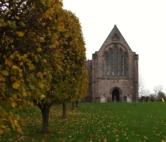
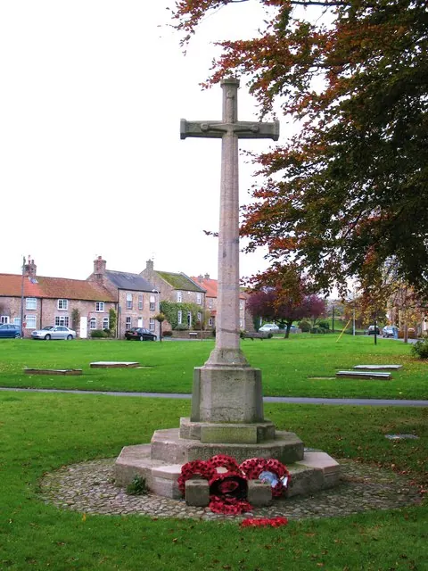
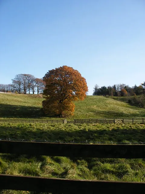
Heritage Around Brough [Hall]
Photographs of churches, listed buildings and monuments in the vicinity, contributed by volunteers to the Geograph project and reused here under a Creative Commons licence.
© Matthew Hatton · Geograph · CC BY-SA 2.0
© Gordon Hatton · Geograph · CC BY-SA 2.0
© SMJ · Geograph · CC BY-SA 2.0
Images © their respective photographers, licensed under CC BY-SA 2.0 and reused here with attribution. Photographs depict listed buildings, churches and monuments near this settlement and may show neighbouring villages.
Location
54.3724°N, -1.6690°W · Land of Count Alan hundred, Yorkshire
View larger map on OpenStreetMap →Data derived from the Open Domesday project (opendomesday.org), based on the Domesday Book dataset compiled by Professor J.J.N. Palmer and team. The Domesday Book (1086) is in the public domain.
Found an inaccuracy? [email protected]