Brompton in the Domesday Book (1086)
The 1086 Domesday survey records the settlement of Brompton, entered under the hundred of Dic in Yorkshire. The survey assessed Brompton at 4 carucates of taxable land.
Most significantly, Brompton is recorded as waste in 1086 - land rendered uninhabitable and valueless. Before the Conquest, the settlement had been assessed at 1 shilling; by 1086 that value had collapsed entirely. This pattern - prosperity before 1066, devastation by 1086 - is the unmistakable signature of the Harrying of the North , William I’s campaign of systematic destruction across Yorkshire in 1069–70.
Resources Recorded at Brompton (1086)
- Woodland: 4 * 4 furlongs
Other Settlements in Dic
- Aislaby
- Allerston
- Appleton [le Moors]
- Aschelesmersc
- Aschilesmares
- Barton [le Street]
- Baschebi
- Baschesbi
- Burniston
- Burton [Dale]
- Cawthorn
- Cayton
- Chigogemers
- Chigomersc
The Meaning of the Name
The name Brompton is of Anglo-Saxon origin. Its final element derives from the Old English word tūn, a farmstead or village. The first element is most likely a personal name or an early descriptive term, now difficult to recover with certainty. Taken together the name probably meant something close to ‘a farmstead’.
Remarkably, the name has changed little since 1086, when the Domesday scribes wrote it as Brompton.
Listed Buildings Near Brompton
Historic England records 29 listed buildings within about a mile of Brompton. Listing protects structures of special architectural or historic interest, graded I (exceptional), II* (particularly important) and II.
Grade I
- Church of All Saints - 0.47 km
Grade II
- Green Farmhouse - 0.03 km
- Brompton-by-Sawdon War Memorial - 0.21 km
- Manor House - 0.24 km
- 2, Hungate - 0.24 km
- 3, Hungate - 0.25 km
- 4, Hungate - 0.25 km
- Rose Cottage - 0.28 km
- Yew Cottage - 0.31 km
- Dale Lodge - 0.35 km
- Gates and Railings to Dale Lodge - 0.35 km
- Gatepiers - 0.37 km
- Garden House 30 Metres East of Brompton Hall - 0.38 km
- Gate Piers Approximately 1.5 Metres East of Brompton Hall - 0.41 km
- 5, Church Lane - 0.42 km
- Brompton Hall School - 0.44 km
- Number 1 (Foxglove Cottage) and Number 2 - 0.61 km
- Low Hall Farmhouse and Attached Outbuilding - 0.64 km
- Keepers Cottage - 0.72 km
- Brick Kiln Approximately 10 Metres South of Manor House - 0.78 km
- Chapel of Rest - 0.79 km
- Dovecote Approximately 40 Metres North West of Low Hall - 0.99 km
- Low Hall - 0.99 km
- Gatepiers Approximately 50 Metres South East of Low Hall - 1.0 km
…and 5 more listed structures in the area.
Scheduled Monuments Near Brompton
Scheduled monuments are nationally important archaeological sites given legal protection. 2 lie within roughly a mile of Brompton:
- Castle Hill fortified house - 0.34 km
- Dovecote at Low Hall - 0.99 km
Brompton Today
Today Brompton lies within the administrative area of Scarborough, and the settlement recorded a population of 523 at the 2021 census. Nine and a half centuries separate that figure from the small rural community the Domesday survey recorded here in 1086.
Read more about modern Brompton on Wikipedia .
Nearby Domesday Settlements
Other places recorded in the 1086 survey within a few miles:
- Ruston - 1.4 km NE
- Wykeham - 2.2 km NE
- Martin Garth - 2.8 km NE
- Snainton - 3.0 km W
- Hutton Buscel - 3.6 km NE
- Preston Hill - 3.6 km NE
Heritage Around Brompton
Photographs of churches, listed buildings and monuments in the vicinity, contributed by volunteers to the Geograph project and reused here under a Creative Commons licence.
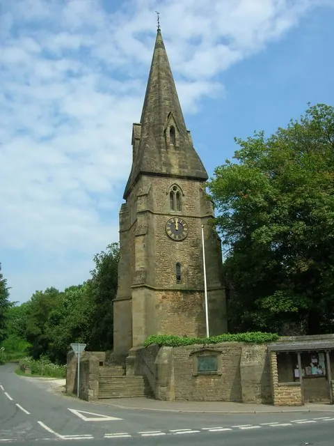
© JThomas · Geograph · CC BY-SA 2.0
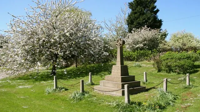
© Alan Walker · Geograph · CC BY-SA 2.0
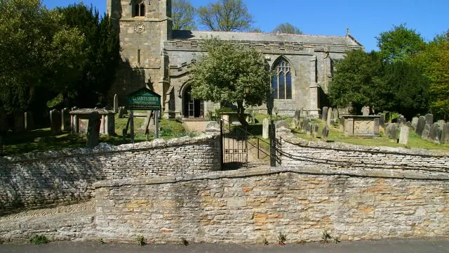
© Alan Walker · Geograph · CC BY-SA 2.0
Images © their respective photographers, licensed under CC BY-SA 2.0 and reused here with attribution. Photographs depict listed buildings, churches and monuments near this settlement and may show neighbouring villages.
Data derived from the Open Domesday project (opendomesday.org), based on the Domesday Book dataset compiled by Professor J.J.N. Palmer and team. The Domesday Book (1086) is in the public domain.
Found an inaccuracy? [email protected]