Brodsworth in the Domesday Book (1086)
Brodsworth is named in the Domesday Book, compiled by Norman commissioners in 1086, entered under the hundred of Strafforth in Yorkshire.
Other Settlements in Strafforth
- Adwick [le Street]
- Adwick [upon Dearne]
- Armthorpe
- Aston
- Attercliffe
- Auckley
- Aughton [Hall]
- Austerfield
- Balby
- Barnbrough
- Barnby [Dun]
- Bentley
- Bilham [House]
- Billingley
The Meaning of the Name
The name Brodsworth is of Anglo-Saxon origin. Its final element derives from the Old English word worð, an enclosure or homestead. The first element is most likely a personal name or an early descriptive term, now difficult to recover with certainty. Taken together the name probably meant something close to ‘a enclosure’.
Remarkably, the name has changed little since 1086, when the Domesday scribes wrote it as Brodsworth.
Listed Buildings Near Brodsworth
Historic England records 21 listed buildings within about a mile of Brodsworth. Listing protects structures of special architectural or historic interest, graded I (exceptional), II* (particularly important) and II.
Grade I
- Brodsworth Hall - 0.42 km
Grade II*
- Church of St Michael - 0.25 km
Grade II
- The Gatehouse - 0.16 km
- The Brewhouse - 0.2 km
- Glebe Farmhouse - 0.22 km
- Gates and Gate Piers to Gardens of Brodsworth Hall, Approximately 270 Metres to North East of House - 0.25 km
- Old Stables to Brodsworth Hall - 0.28 km
- Home Farmhouse - 0.33 km
- Rose Pergola in the Grove - 0.35 km
- Gates and Gatepiers to Gardens of Brodsworth Hall, Approximately 160 Metres to East North East of House - 0.38 km
- Archery Pavilion - 0.4 km
- Terrace Steps and Urns to South and West of Brodsworth Hall - 0.45 km
- Fernery Banks, Bridges and Pergolas - 0.45 km
- Group of 10 Garden Statues to South and East of Brodsworth Hall - 0.48 km
- Fountain and Urns Approximately 90 Metres to West of Brodsworth Hall - 0.49 km
- Eyecatcher - 0.54 km
- Temple and Icehouse Approximately 170 Metres to South-west of Brodsworth Hall* - 0.56 km
- Brodsworth First and Middle School - 0.64 km
- Gates and Gatepiers to Brodsworth Hall Estate Situated on West Side of Road to Marr Approximately 650 Metres to East of Hall - 0.71 km
- Elms Farmhouse - 1.04 km
- Quadrangular Range of Farmbuildings at Elms Farm Immediately to East of Farmhouse - 1.09 km
Brodsworth Today
Today Brodsworth lies within the administrative area of Doncaster, and the settlement recorded a population of 3,006 at the 2021 census. Nine and a half centuries separate that figure from the small rural community the Domesday survey recorded here in 1086.
Read more about modern Brodsworth on Wikipedia .
Nearby Domesday Settlements
Other places recorded in the 1086 survey within a few miles:
- Pickburn - 1.0 km E
- Hooton Pagnell - 2.0 km W
- Bilham House - 2.2 km SW
- Marr - 2.2 km SE
- Hickleton - 2.8 km SW
- Hampole - 3.0 km N
Heritage Around Brodsworth
Photographs of churches, listed buildings and monuments in the vicinity, contributed by volunteers to the Geograph project and reused here under a Creative Commons licence.
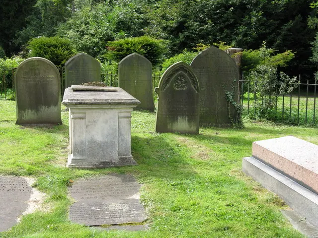
© Dave Pickersgill · Geograph · CC BY-SA 2.0
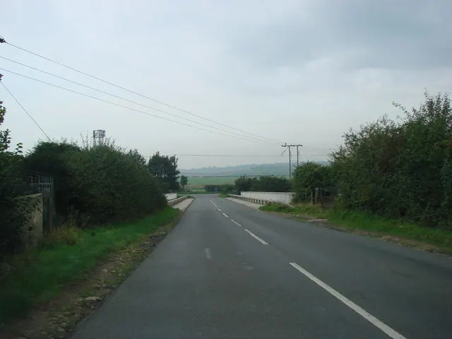
© Bill Henderson · Geograph · CC BY-SA 2.0
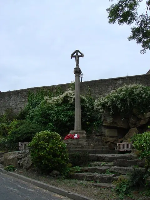
© Bill Henderson · Geograph · CC BY-SA 2.0
Images © their respective photographers, licensed under CC BY-SA 2.0 and reused here with attribution. Photographs depict listed buildings, churches and monuments near this settlement and may show neighbouring villages.
Data derived from the Open Domesday project (opendomesday.org), based on the Domesday Book dataset compiled by Professor J.J.N. Palmer and team. The Domesday Book (1086) is in the public domain.
Found an inaccuracy? [email protected]