Brimham Hall in the Domesday Book (1086)
The settlement of Brimham Hall is recorded in William I’s Domesday survey of 1086, entered under the hundred of Burghshire in Yorkshire.
Other Settlements in Burghshire
- Addlethorpe
- Aismunderby
- Aldfield
- Allerton [Mauleverer]
- Arkendale
- Askwith
- Azerley
- Barrowby [Grange]
- Beckwith [House]
- Besthaim
- Bestham
- Bewerley
- Bilton
- Birstwith
The Meaning of the Name
The name Brimham Hall is of Anglo-Saxon origin. Its final element derives from the Old English word hām, a homestead or village. The first element is most likely a personal name or an early descriptive term, now difficult to recover with certainty. Taken together the name probably meant something close to ‘a homestead’.
Remarkably, the name has changed little since 1086, when the Domesday scribes wrote it as Brimham Hall.
Listed Buildings Near Brimham Hall
Historic England records 21 listed buildings within about a mile of Brimham Hall. Listing protects structures of special architectural or historic interest, graded I (exceptional), II* (particularly important) and II.
Grade I
- Brimham Lodge - 0.83 km
Grade II
- Outbuilding and Cartshed Approximately 5 Metres North East of Spring House - 0.45 km
- Spring House - 0.46 km
- Gate Piers Approximately 10 Metres East of Spring House - 0.46 km
- Stables or Byres With Hayloft Over, With Attached Wall and Pigsty and Hen House Approximately 10 Metres East of Spring House - 0.46 km
- Garden Wall to Spring House - 0.48 km
- Brimham Hall - 0.65 km
- Outbuilding Approximately 10 Metres North East of Brimham Hall - 0.66 km
- Barn and Byre Range at Brimham Hall - 0.69 km
- Mounting Block With Sundial Approximately 15M South of Brimham Lodge - 0.8 km
- Front Garden Walls With Gates at Brimham Lodge - 0.81 km
- Outbuilding Approximately 20 Metres North of Brimham Lodge - 0.86 km
- Outbuilding Approximately 50 Metres West of Well House - 1.12 km
- Barn Approximately 8 Metres West of Well House - 1.14 km
- Stable Approximately 3 Metres North East of Well House - 1.15 km
- Well House - 1.16 km
- School House - 1.25 km
- Church of St Jude - 1.25 km
- Sundial 2 Metres South of Church of St Jude - 1.26 km
- Memorial to Alice and Jonas Walbank Approximately 20 Metres South of Church of St Jude - 1.26 km
- Cow Close Farmhouse - 1.29 km
Nearby Domesday Settlements
Other places recorded in the 1086 survey within a few miles:
- Birstwith - 3.2 km S
- Dacre - 3.6 km SW
- Bishop Thornton - 4.1 km E
- Wilsill - 4.5 km NW
- Whipley Hall - 4.5 km SE
- Sawley - 5.4 km N
Heritage Around Brimham [Hall]
Photographs of churches, listed buildings and monuments in the vicinity, contributed by volunteers to the Geograph project and reused here under a Creative Commons licence.
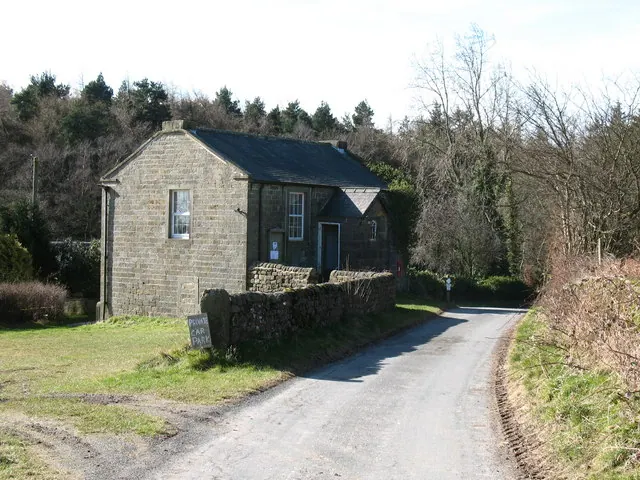
© Gordon Hatton · Geograph · CC BY-SA 2.0
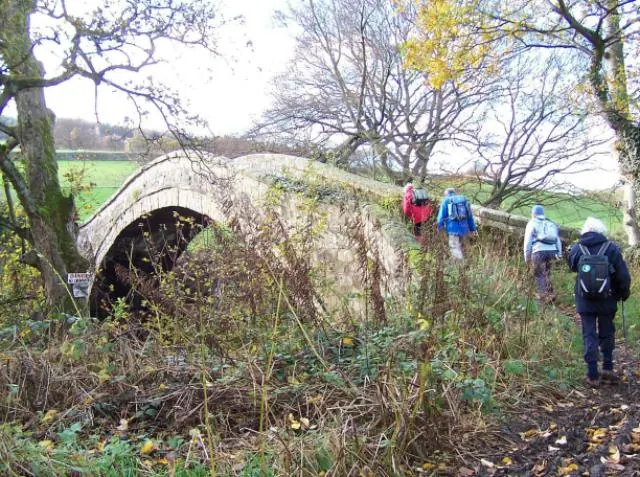
© Joe Regan · Geograph · CC BY-SA 2.0
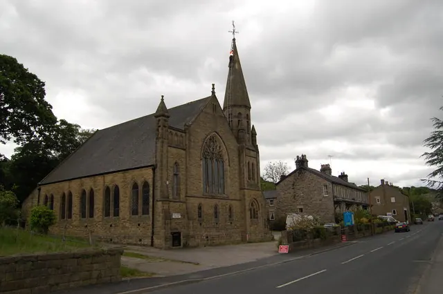
© SMJ · Geograph · CC BY-SA 2.0
Images © their respective photographers, licensed under CC BY-SA 2.0 and reused here with attribution. Photographs depict listed buildings, churches and monuments near this settlement and may show neighbouring villages.
Data derived from the Open Domesday project (opendomesday.org), based on the Domesday Book dataset compiled by Professor J.J.N. Palmer and team. The Domesday Book (1086) is in the public domain.
Found an inaccuracy? [email protected]