Brignall in the Domesday Book (1086)
The 1086 Domesday survey records the settlement of Brignall, entered under the hundred of Land of Count Alan in Yorkshire.
Other Settlements in Land of Count Alan
- Achebi
- Agglethorpe
- Ainderby [Mires]
- Ainderby [Quernhow]
- Aiskew
- Aldbrough
- Allerthorpe [Hall]
- Ascam
- Ascham
- Asebi
- Aske [Hall]
- Askrigg
- Aysgarth
- Baldersby
The Meaning of the Name
The origin of the name Brignall is not securely established from its modern form alone; like many settlement names in the North it likely combines an Old English or Old Norse personal name with a landscape term.
Remarkably, the name has changed little since 1086, when the Domesday scribes wrote it as Brignall.
Listed Buildings Near Brignall
Historic England records 26 listed buildings within about a mile of Brignall. Listing protects structures of special architectural or historic interest, graded I (exceptional), II* (particularly important) and II.
Grade II*
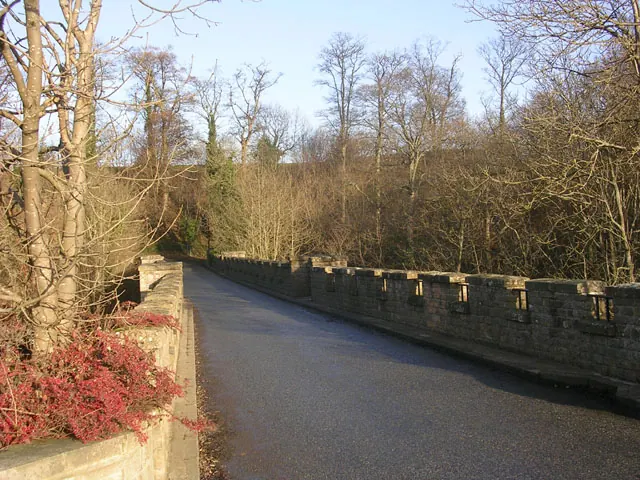
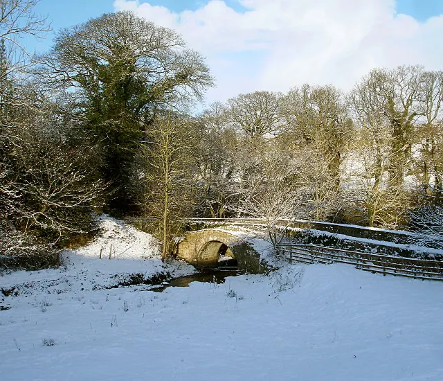
- Greta Bridge - 1.22 km
Grade II
- Thwaites Headstones at North West Corner of Churchyard of Old Church of St Mary - 0.3 km
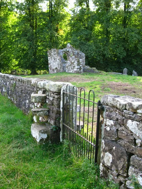
- Ruins of Old Church of St Mary - 0.31 km
- Hanby and Sutton Chest Tombs 10 Metres South West of Old Church of St. Mary - 0.32 km
- Sutton Headstones Circa 15 Metres South West of Old Church of St Mary - 0.33 km
- Churchyard Wall Around Old Church of St Mary - 0.33 km
- Church of St Mary - 0.38 km
- Brignall Grange - 0.38 km
- Barn 20 Metres South of Church of St Mary - 0.4 km
- Ivy Cottage and Adjacent Outbuilding to South - 0.49 km
- North and West Walls of Garden to West of Eastwood Hall - 0.54 km
- Brookside With Adjacent Outbuildings - 0.56 km
- Farm Buildings to West of Eastwood Hall - 0.57 km
- Eastwood Hall - 0.6 km
- Brignall Farmhouse, With Attached Outbuilding to East - 0.64 km
- Front Garden Walls to Brignall Farmhouse - 0.65 km
- Anvil House - 0.81 km
- The Square - 1.2 km
- The Morritt Arms Hotel - 1.21 km
- The Square Range of Farmbuildings to Rear of Number 5 - 1.23 km
- The Square (Numbers 3 to 6 Consecutive) With Farmbuilding Range to Left of Number 6 - 1.23 km
- East Entrance Screen to Rokeby Park, With Attached Walls and Railings - 1.24 km
- East Lodge to Rokeby Park - 1.25 km
- Sundial on Lawn 10 Metres South of Rokeby Grove - 1.27 km
…and 2 more listed structures in the area.
Scheduled Monuments Near Brignall
Scheduled monuments are nationally important archaeological sites given legal protection. 2 lie within roughly a mile of Brignall:
- Greta Bridge - 1.22 km
- Greta Bridge Roman fort, vicus and section of Roman road - 1.23 km
Brignall Today
Today Brignall lies within the administrative area of County Durham, and the settlement recorded a population of 54 at the 2021 census. Nine and a half centuries separate that figure from the small rural community the Domesday survey recorded here in 1086.
Read more about modern Brignall on Wikipedia .
Nearby Domesday Settlements
Other places recorded in the 1086 survey within a few miles:
- Mortham Tower - 2.2 km NE
- Rokeby Hall - 2.2 km NE
- Barningham - 2.2 km SE
- Scargill - 2.8 km SW
- Egglestone Abbey - 3.2 km N
- Thorpe Hall - 3.6 km NE
Heritage Around Brignall
Photographs of churches, listed buildings and monuments in the vicinity, contributed by volunteers to the Geograph project and reused here under a Creative Commons licence.
© Oliver Dixon · Geograph · CC BY-SA 2.0
© Andy Waddington · Geograph · CC BY-SA 2.0
© David Rogers · Geograph · CC BY-SA 2.0
Images © their respective photographers, licensed under CC BY-SA 2.0 and reused here with attribution. Photographs depict listed buildings, churches and monuments near this settlement and may show neighbouring villages.
Location
54.5076°N, -1.8842°W · Land of Count Alan hundred, Yorkshire
View larger map on OpenStreetMap →Data derived from the Open Domesday project (opendomesday.org), based on the Domesday Book dataset compiled by Professor J.J.N. Palmer and team. The Domesday Book (1086) is in the public domain.
Found an inaccuracy? [email protected]