Brereton in the Domesday Book (1086)
The settlement of Brereton is recorded in William I’s Domesday survey of 1086, entered under the hundred of Middlewich in Cheshire. The survey assessed Brereton at 2.5 carucates of taxable land.
At the time of the survey, Brereton supported a recorded population of 1 villager, 9 smallholders, 1 slave, working 2 ploughs between them.
By 1086 Brereton was worth 2 shillings, up from 1.5 shillings before the Conquest – a sign this community came through the Conquest without being ruined.
Resources Recorded at Brereton (1086)
- Meadow: 16 acres
- Woodland: 100 pigs
Other Settlements in Middlewich
- Alsager
- Bostock
- Byley
- Clive
- Congleton
- Croxton
- Davenham
- Davenport
- Goostrey
- Hassall
- Kinderton
- Lach [Dennis]
- Leftwich
- Middlewich
The Meaning of the Name
The name Brereton is of Anglo-Saxon origin. Its final element derives from the Old English word tūn, a farmstead or village. The first element is most likely a personal name or an early descriptive term, now difficult to recover with certainty. Taken together the name probably meant something close to ‘a farmstead’.
Remarkably, the name has changed little since 1086, when the Domesday scribes wrote it as Brereton.
Listed Buildings Near Brereton
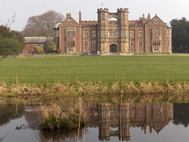
Historic England records 11 listed buildings within about a mile of Brereton. Listing protects structures of special architectural or historic interest, graded I (exceptional), II* (particularly important) and II.
Grade I
- Brereton Hall - 0.61 km
Grade II*
- Church of St Oswald - 0.55 km
- The Bear’s Head Hotel - 1.04 km
Grade II
- Sundial 10 Metres South of East Bay of Nave of Church of St Oswald - 0.54 km
- Gazebo and Wall of Garden of Brereton Hall - 0.62 km
- Garden Chamber in Walled Garden of Brereton Hall - 0.62 km
- Stable Block 60 Metres North of Brereton Hall - 0.68 km
- Stable, Shippon and Barn of Former Home Farm of Brereton Hall - 0.73 km
- Old Rectory - 0.75 km
- South Lodge to Brereton Hall School - 0.92 km
- Milepost at 7744 6456 - 1.16 km
Brereton Today
Today Brereton lies within the administrative area of Cheshire East, and the settlement recorded a population of 1,559 at the 2021 census. Nine and a half centuries separate that figure from the small rural community the Domesday survey recorded here in 1086.
Read more about modern Brereton on Wikipedia .
Nearby Domesday Settlements
Other places recorded in the 1086 survey within a few miles:
- Davenport - 2.8 km NE
- Somerford - 3.2 km E
- Kermincham - 3.2 km N
- Cranage - 5.0 km NW
- Sandbach - 5.0 km SW
- Somerford Booths - 5.1 km E
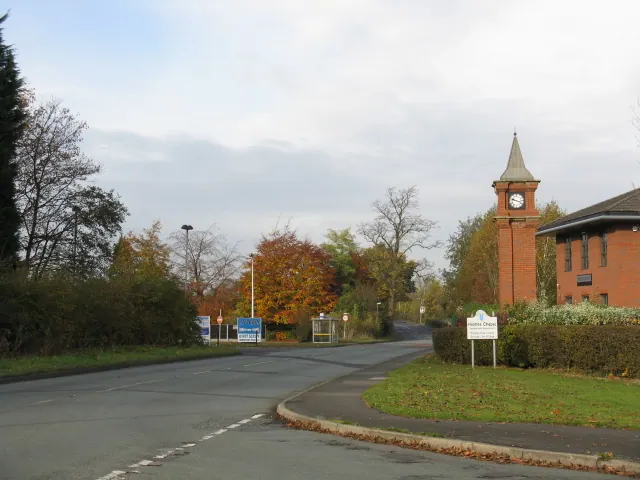
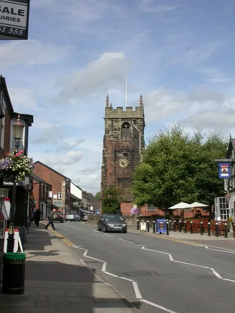
Heritage Around Brereton
Photographs of churches, listed buildings and monuments in the vicinity, contributed by volunteers to the Geograph project and reused here under a Creative Commons licence.
© Peter Whatley · Geograph · CC BY-SA 2.0
© Mike Faherty · Geograph · CC BY-SA 2.0
© Lyn Haigh · Geograph · CC BY-SA 2.0
Images © their respective photographers, licensed under CC BY-SA 2.0 and reused here with attribution. Photographs depict listed buildings, churches and monuments near this settlement and may show neighbouring villages.
Data derived from the Open Domesday project (opendomesday.org), based on the Domesday Book dataset compiled by Professor J.J.N. Palmer and team. The Domesday Book (1086) is in the public domain.
Found an inaccuracy? [email protected]