Bredbury in the Domesday Book (1086)
The settlement of Bredbury is recorded in William I’s Domesday survey of 1086, entered under the hundred of Hamestan in Cheshire.
Other Settlements in Hamestan
- Adlington
- Bosley
- Bramhall
- Butley
- Capesthorne
- Cheadle
- Chelford
- Cranage
- Gawsworth
- Henbury
- Hollingworth
- Hungrewenitune
- Kermincham
- Leighton
The Meaning of the Name
The name Bredbury is of Anglo-Saxon origin. Its final element derives from the Old English word burh, a fortified place. The first element is most likely a personal name or an early descriptive term, now difficult to recover with certainty. Taken together the name probably meant something close to ‘a stronghold’.
Remarkably, the name has changed little since 1086, when the Domesday scribes wrote it as Bredbury.
Listed Buildings Near Bredbury
Historic England records 12 listed buildings within about a mile of Bredbury. Listing protects structures of special architectural or historic interest, graded I (exceptional), II* (particularly important) and II.
Grade II
- Church of St Mark - 0.75 km
- Castle Hill Farmhouse - 0.77 km
- 105, Hyde Road - 0.91 km
- Barn Dated 1716 at Arden Garage - 0.95 km
- Woodley Tunnel, South Portal at Sj 9350 9205 on Peak Forest Canal - 1.01 km
- Woodley Tunnel, North Portal at Sj 9360 9221 on Peak Forest Canal - 1.03 km
- Number 12 Bridge on Peak Forest Canal - 1.03 km
- Haughton Dale House - 1.06 km
- Arden Hall - 1.1 km
- Woodley Mill - 1.19 km
- 1, 3 and 5, Hall Lane - 1.22 km
- Number 13 Bridge on Peak Forest Canal - 1.29 km
Bredbury Today
Today Bredbury lies within the administrative area of Stockport, and the settlement recorded a population of 17,040 at recent figures. Nine and a half centuries separate that figure from the small rural community the Domesday survey recorded here in 1086.
Read more about modern Bredbury on Wikipedia .
Nearby Domesday Settlements
Other places recorded in the 1086 survey within a few miles:
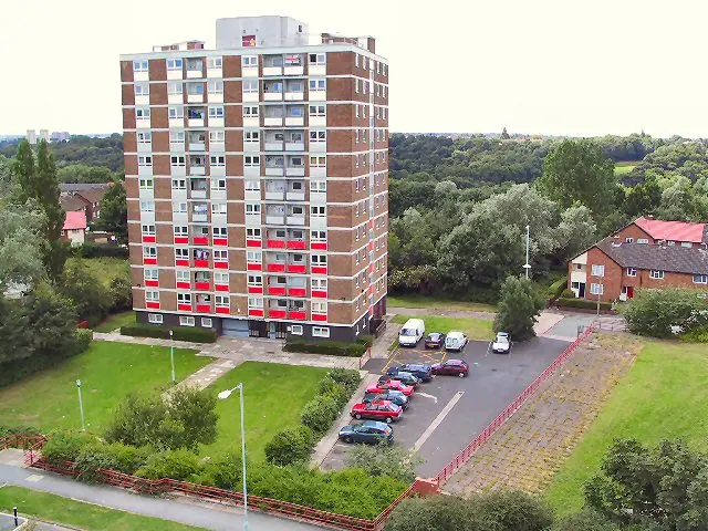
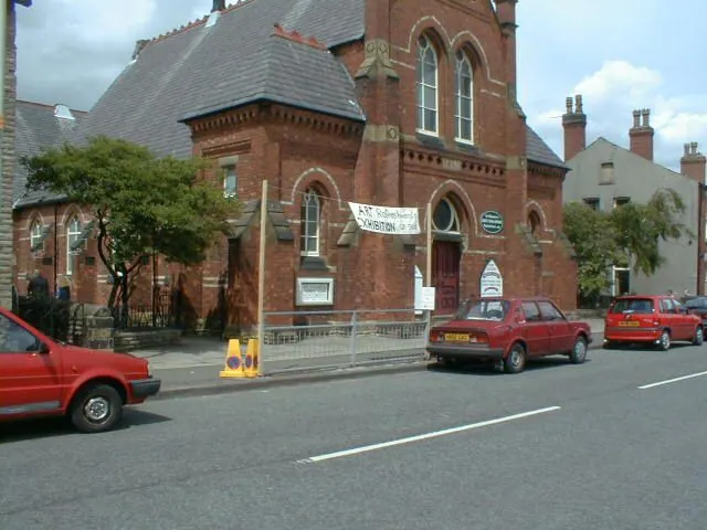
Heritage Around Bredbury
Photographs of churches, listed buildings and monuments in the vicinity, contributed by volunteers to the Geograph project and reused here under a Creative Commons licence.

© Roger May · Geograph · CC BY-SA 2.0
© Roger May · Geograph · CC BY-SA 2.0
© Gerald England · Geograph · CC BY-SA 2.0
Images © their respective photographers, licensed under CC BY-SA 2.0 and reused here with attribution. Photographs depict listed buildings, churches and monuments near this settlement and may show neighbouring villages.
Data derived from the Open Domesday project (opendomesday.org), based on the Domesday Book dataset compiled by Professor J.J.N. Palmer and team. The Domesday Book (1086) is in the public domain.
Found an inaccuracy? [email protected]