Breadsall in the Domesday Book (1086)
Breadsall is named in the Domesday Book, compiled by Norman commissioners in 1086, entered under the hundred of Morleystone in Derbyshire.
Other Settlements in Morleystone
The Meaning of the Name
The origin of the name Breadsall is not securely established from its modern form alone; like many settlement names in the North it likely combines an Old English or Old Norse personal name with a landscape term.
Remarkably, the name has changed little since 1086, when the Domesday scribes wrote it as Breadsall.
Listed Buildings Near Breadsall
Historic England records 9 listed buildings within about a mile of Breadsall. Listing protects structures of special architectural or historic interest, graded I (exceptional), II* (particularly important) and II.
Grade I
- Church of All Saints - 0.61 km
Grade II*
- The Old Hall - 0.6 km
Grade II
- Rose Cottage and Shamrock Cottage - 0.44 km
- 23, Rectory Lane - 0.48 km
- Ivy Cottage - 0.5 km
- 1, Pall Mall - 0.51 km
- Alfreton Road Bridge (SPC8 10) - 0.68 km
- Methodist Chapel - 0.8 km
- Breadsall Manor - 0.85 km
Breadsall Today
Today Breadsall lies within the administrative area of Erewash, and the settlement recorded a population of 791 at the 2021 census. Nine and a half centuries separate that figure from the small rural community the Domesday survey recorded here in 1086.
Read more about modern Breadsall on Wikipedia .
Nearby Domesday Settlements
Other places recorded in the 1086 survey within a few miles:
- Allestree - 2.0 km W
- Little Eaton - 2.0 km N
- Little Chester - 2.2 km SW
- Chaddesden - 2.2 km SE
- Morley - 3.2 km E
- Derby - 3.2 km S
Heritage Around Breadsall
Photographs of churches, listed buildings and monuments in the vicinity, contributed by volunteers to the Geograph project and reused here under a Creative Commons licence.
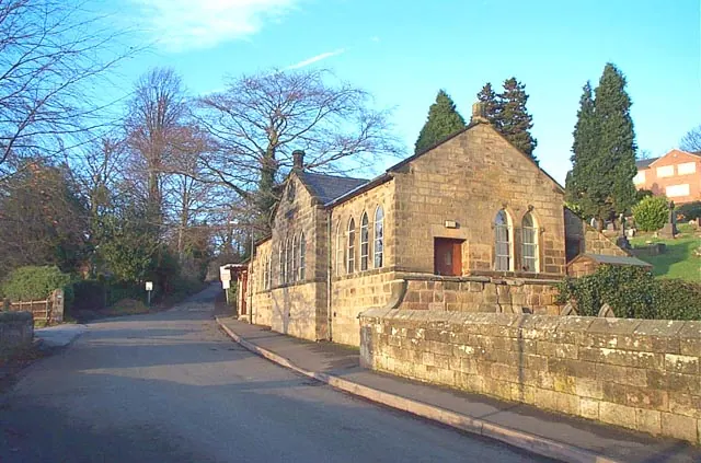
© Garth Newton · Geograph · CC BY-SA 2.0
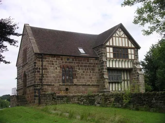
© mike smith · Geograph · CC BY-SA 2.0
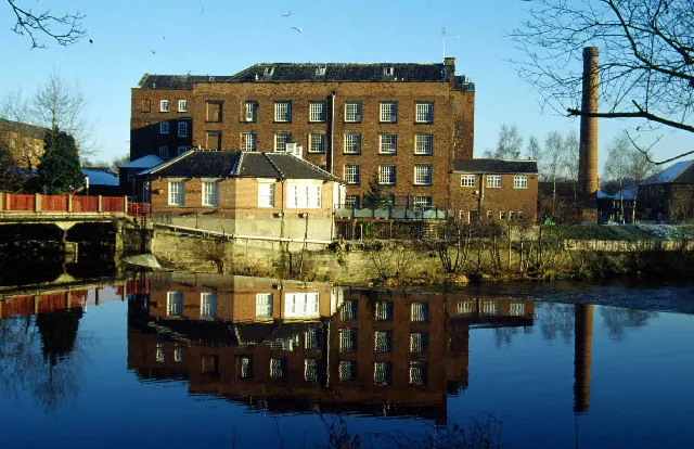
© Stephen McKay · Geograph · CC BY-SA 2.0
Images © their respective photographers, licensed under CC BY-SA 2.0 and reused here with attribution. Photographs depict listed buildings, churches and monuments near this settlement and may show neighbouring villages.
Data derived from the Open Domesday project (opendomesday.org), based on the Domesday Book dataset compiled by Professor J.J.N. Palmer and team. The Domesday Book (1086) is in the public domain.
Found an inaccuracy? [email protected]