Brassington in the Domesday Book (1086)
The 1086 Domesday survey records the settlement of Brassington, entered under the hundred of Hamston in Derbyshire.
Other Settlements in Hamston
- Alsop [-en-le-Dale]
- Ashbourne
- Atlow
- Ballidon
- Bonsall
- Bradbourne
- Broadlowash
- Callow
- Carsington
- Cowley
- Cromford
- Elton
- Hanson [Grange]
- Hartington
The Meaning of the Name
The name Brassington is of Anglo-Saxon origin. Its final element derives from the Old English word tūn, a farmstead or village. The first element is most likely a personal name or an early descriptive term, now difficult to recover with certainty. Taken together the name probably meant something close to ‘a farmstead’.
Remarkably, the name has changed little since 1086, when the Domesday scribes wrote it as Brassington.
Listed Buildings Near Brassington
Historic England records 29 listed buildings within about a mile of Brassington. Listing protects structures of special architectural or historic interest, graded I (exceptional), II* (particularly important) and II.
Grade II*
- Church of St James - 0.59 km
- The Gate Inn - 0.66 km
Grade II
- Rake House Farmhouse - 0.4 km
- Tudor House - 0.43 km
- The Cottage - 0.43 km
- Sycamore Farm - 0.43 km
- Dragon Cottages - 0.44 km
- Barns at Sycamore Farmhouse - 0.45 km
- The Green - 0.46 km
- Pleasant House - 0.48 km
- Cottage Behind Wash Hills Farm - 0.48 km
- House Adjoining Green Cottage - 0.49 km
- The Green Cottage - 0.49 km
- Miners Arm and Outbuildings - 0.5 km
- Red Lion House - 0.51 km
- Church Gate Cottage - 0.52 km
- House Adjoining Miner’s Arms - 0.52 km
- The Manor House - 0.6 km
- House South of Ivybank - 0.64 km
- Ivybank - 0.64 km
- Primitive Methodist Chapel - 0.69 km
- Brassington Hall - 0.78 km
- Yew Tree Farmhouse - 0.85 km
- Well House - 0.9 km
…and 5 more listed structures in the area.
Scheduled Monuments Near Brassington
Scheduled monuments are nationally important archaeological sites given legal protection. 4 lie within roughly a mile of Brassington:
- Round Low bowl barrow - 0.52 km
- Bowl barrow on Carsington Pasture, 800m south east of Brassington Brickworks - 0.83 km
- Harboro’ Cave - 0.98 km
- Carsington Pasture, Nickalum, Perserverance, West Head, Break Hollow and other small mines and medieval field boundaries - 1.0 km
Brassington Today
Today Brassington lies within the administrative area of Derbyshire Dales, and the settlement recorded a population of 548 at the 2021 census. Nine and a half centuries separate that figure from the small rural community the Domesday survey recorded here in 1086.
Read more about modern Brassington on Wikipedia .
Nearby Domesday Settlements
Other places recorded in the 1086 survey within a few miles:
- Carsington - 2.2 km SE
- Hopton - 2.2 km SE
- Ballidon - 3.0 km W
- Ible - 3.2 km N
- Bradbourne - 3.6 km SW
- Callow - 3.6 km SE
Heritage Around Brassington
Photographs of churches, listed buildings and monuments in the vicinity, contributed by volunteers to the Geograph project and reused here under a Creative Commons licence.
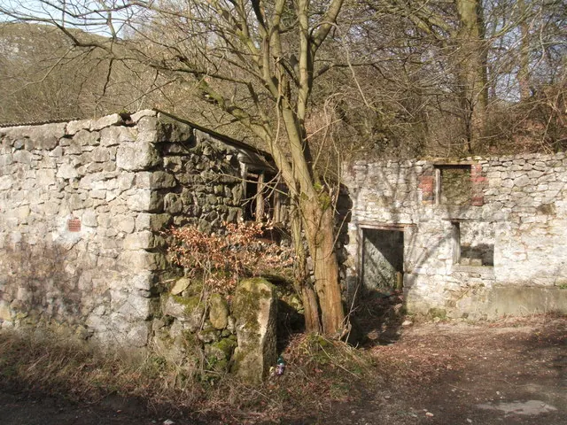
© Peter Barr · Geograph · CC BY-SA 2.0
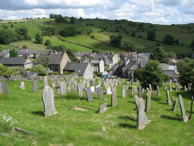
© Alan Heardman · Geograph · CC BY-SA 2.0
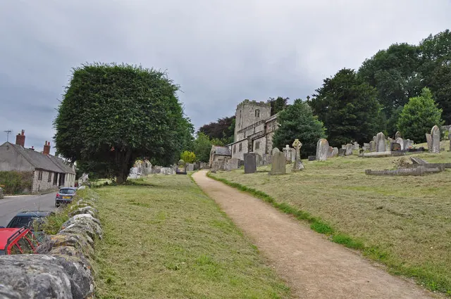
© Mick Lobb · Geograph · CC BY-SA 2.0
Images © their respective photographers, licensed under CC BY-SA 2.0 and reused here with attribution. Photographs depict listed buildings, churches and monuments near this settlement and may show neighbouring villages.
Data derived from the Open Domesday project (opendomesday.org), based on the Domesday Book dataset compiled by Professor J.J.N. Palmer and team. The Domesday Book (1086) is in the public domain.
Found an inaccuracy? [email protected]