Brampton en le Morthen in the Domesday Book (1086)
Brampton en le Morthen is named in the Domesday Book, compiled by Norman commissioners in 1086, entered under the hundred of Strafforth in Yorkshire. The survey assessed Brampton en le Morthen at 9 carucates of taxable land.
At the time of the survey, Brampton en le Morthen supported a recorded population of 13 villagers, 8 smallholders, 2 freemanmen, working 8 ploughs between them.
The survey records Brampton en le Morthen’s value at 4 shillings in 1086. No pre-Conquest figure survives – not unusual in the North, where records were disrupted by the Harrying and by the patchy coverage of the survey.
Resources Recorded at Brampton en le Morthen (1086)
- Meadow: 1 * 0.5 leagues
- Woodland: 2 * 1 furlongs
Other Settlements in Strafforth
- Adwick [le Street]
- Adwick [upon Dearne]
- Armthorpe
- Aston
- Attercliffe
- Auckley
- Aughton [Hall]
- Austerfield
- Balby
- Barnbrough
- Barnby [Dun]
- Bentley
- Bilham [House]
- Billingley
The Meaning of the Name
The name Brampton en le Morthen is of Anglo-Saxon origin. Its final element derives from the Old English word tūn, a farmstead or village. The first element is most likely a personal name or an early descriptive term, now difficult to recover with certainty. Taken together the name probably meant something close to ‘a farmstead’.
Remarkably, the name has changed little since 1086, when the Domesday scribes wrote it as Brampton en le Morthen.
Listed Buildings Near Brampton en le Morthen
Historic England records 19 listed buildings within about a mile of Brampton en le Morthen. Listing protects structures of special architectural or historic interest, graded I (exceptional), II* (particularly important) and II.
Grade II*
- Morthen Hall - 1.24 km
Grade II
- Brampton Grange - 0.03 km
- Old Hall Cottages - 0.12 km
- Thackeray Farmhouse - 0.18 km
- Holme Farmhouse - 0.2 km
- Granary and dovecote with attached barn approximately 30 metres to east of Holme Farmhouse - 0.21 km
- K6 Telephone Kiosk - 0.22 km
- Farm View Cottages - 0.23 km
- Town End Farmhouse - 0.28 km
- Manor Farmhouse, Manor Farm Cottages and attached meeting house - 0.29 km
- Barn approximately 20 metres to south of Town End Farmhouse - 0.31 km
- Barn Approximately 30 Metres to South West of Manor Farmhouse - 0.33 km
- Green Arbour Farm Cottage - 1.1 km
- Barn and attached cartshed/granary immediately to north west of Sawn Moor Farmhouse - 1.18 km
- Sawn Moor Farmhouse - 1.19 km
- Ha-ha, Gates, Gate Piers and Perimeter Wall to Front Garden of Morthen Hall - 1.2 km
- The Mews - 1.22 km
- Oak Cottage - 1.23 km
- Remains of Cross South East of Junction of Morthen Hall Lane and York Lane - 1.3 km
Brampton en le Morthen Today
Today Brampton en le Morthen lies within the administrative area of Thurcroft.
Read more about modern Brampton en le Morthen on Wikipedia .
Nearby Domesday Settlements
Other places recorded in the 1086 survey within a few miles:
- Ulley - 2.2 km SW
- Laughton en le Morthen - 3.0 km E
- Wickersley - 3.2 km N
- Aughton Hall - 3.6 km SW
- Newhall Grange - 3.6 km NE
- Aston - 3.6 km SW
Heritage Around Brampton [en le Morthen]
Photographs of churches, listed buildings and monuments in the vicinity, contributed by volunteers to the Geograph project and reused here under a Creative Commons licence.
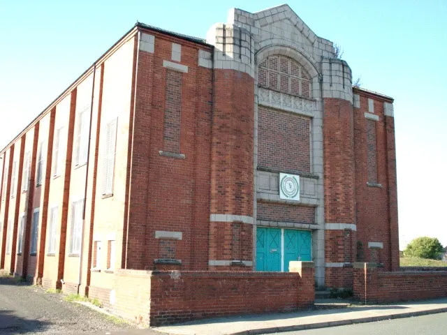
© emily gosse · Geograph · CC BY-SA 2.0
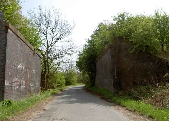
© Steve Fareham · Geograph · CC BY-SA 2.0
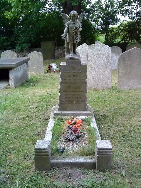
© Andrew Abbott · Geograph · CC BY-SA 2.0
Images © their respective photographers, licensed under CC BY-SA 2.0 and reused here with attribution. Photographs depict listed buildings, churches and monuments near this settlement and may show neighbouring villages.
Data derived from the Open Domesday project (opendomesday.org), based on the Domesday Book dataset compiled by Professor J.J.N. Palmer and team. The Domesday Book (1086) is in the public domain.
Found an inaccuracy? [email protected]