Bramley in the Domesday Book (1086)
Bramley is named in the Domesday Book, compiled by Norman commissioners in 1086, entered under the hundred of Morley in Yorkshire. The survey assessed Bramley at 2.2 carucates of taxable land.
The survey puts Bramley’s value at 2.5 shillings, the same as before the Conquest. Unchanged valuations are relatively rare in the North, where disruption was widespread.
Resources Recorded at Bramley (1086)
- Pigs: 18
- Sheep: 70
- Horses (cobs): 1
- Woodland: 40 pigs
Other Settlements in Morley
- Allerton
- Armley
- Batley
- Beeston
- Bolton
- Bowling
- Bradford
- Calverley
- Carlton
- Chellow [Grange]
- Clayton
- Clifton
- Cruttonstall
- Dewsbury
The Meaning of the Name
The name Bramley is of Anglo-Saxon origin. Its final element derives from the Old English word lēah, a woodland clearing or glade. The first element is most likely a personal name or an early descriptive term, now difficult to recover with certainty. Taken together the name probably meant something close to ‘a clearing’.
Remarkably, the name has changed little since 1086, when the Domesday scribes wrote it as Bramley.
Listed Buildings Near Bramley
Historic England records 37 listed buildings within about a mile of Bramley. Listing protects structures of special architectural or historic interest, graded I (exceptional), II* (particularly important) and II.
Grade II
- 257, Upper Town Street - 0.26 km
- 261, Upper Town Street - 0.27 km
- 259, Upper Town Street - 0.29 km
- Warrels House - 0.32 km
- 327 and 329, Upper Town Street - 0.37 km
- 2-14, Moorfields - 0.39 km
- Number 331 and Attached Wall - 0.41 km
- 2-18, HALEYS YARD (See details for further address information) - 0.42 km
- Church of St Peter - 0.43 km
- Stocks Hill Pump and Raised Pavement - 0.46 km
- 359-367, Upper Town Street - 0.5 km
- 112, Lower Town Street - 0.59 km
- Gate Piers, Gate, Wall and Railings to North of Hough Lane Centre - 0.63 km
- Hough Lane Centre - 0.64 km
- Acorn Inn - 0.67 km
- Rock Inn and Former Stables - 0.72 km
- Bramley Baths - 0.73 km
- 428 and 430, Broad Lane - 0.8 km
- Barley Mow Public House - 0.87 km
- 34 and 36, Rock Lane - 0.88 km
- Forge Locks - 0.99 km
- Town End House - 1.03 km
- Stables Approximately 10 Metres South East of Whitecote House - 1.05 km
- Whitecote House With Adjoining Ranges - 1.08 km
…and 13 more listed structures in the area.
Scheduled Monuments Near Bramley
Scheduled monuments are nationally important archaeological sites given legal protection. 1 lies within roughly a mile of Bramley:
Bramley Today
Today Bramley lies within the administrative area of Leeds.
Read more about modern Bramley on Wikipedia .
Nearby Domesday Settlements
Other places recorded in the 1086 survey within a few miles:
Heritage Around Bramley
Photographs of churches, listed buildings and monuments in the vicinity, contributed by volunteers to the Geograph project and reused here under a Creative Commons licence.
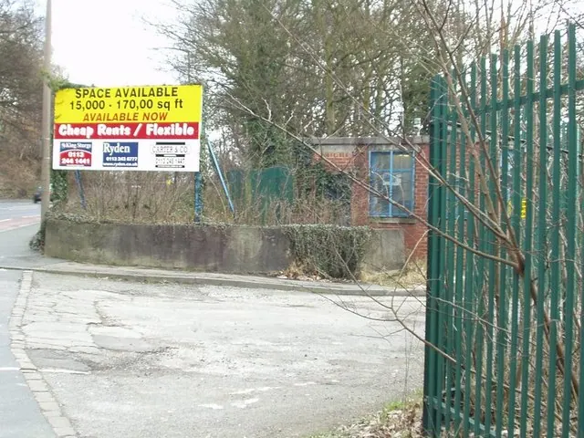
© Rich Tea · Geograph · CC BY-SA 2.0
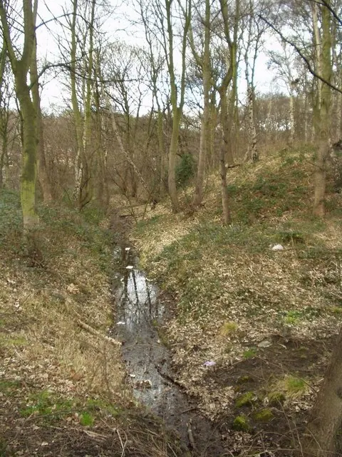
© Rich Tea · Geograph · CC BY-SA 2.0
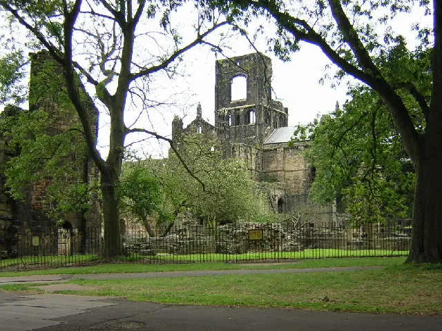
© Mark Morton · Geograph · CC BY-SA 2.0
Images © their respective photographers, licensed under CC BY-SA 2.0 and reused here with attribution. Photographs depict listed buildings, churches and monuments near this settlement and may show neighbouring villages.
Data derived from the Open Domesday project (opendomesday.org), based on the Domesday Book dataset compiled by Professor J.J.N. Palmer and team. The Domesday Book (1086) is in the public domain.
Found an inaccuracy? [email protected]