Bramhope in the Domesday Book (1086)
Bramhope is named in the Domesday Book, compiled by Norman commissioners in 1086, entered under the hundred of Skyrack in Yorkshire.
Other Settlements in Skyrack
- Adel
- Allerton [Bywater]
- Alwoodley
- Arthington
- Austhorpe
- Baildon
- Bardsey
- Barwick [in Elmet]
- Bichertun
- Bicherun
- Bingley
- Birkby [Hill]
- Burden [Head]
- Burley [in Wharfedale]
The Meaning of the Name
The origin of the name Bramhope is not securely established from its modern form alone; like many settlement names in the North it likely combines an Old English or Old Norse personal name with a landscape term.
Remarkably, the name has changed little since 1086, when the Domesday scribes wrote it as Bramhope.
Listed Buildings Near Bramhope
Historic England records 20 listed buildings within about a mile of Bramhope. Listing protects structures of special architectural or historic interest, graded I (exceptional), II* (particularly important) and II.
Grade I
- Puritan Chapel - 0.33 km
Grade II
- Barn Approximately 5 Metres West of Old Manor Farmhouse - 0.24 km
- Old Manor Farmhouse (rear portion only) - 0.25 km
- 1, Church Hill - 0.28 km
- The Hollies - 0.28 km
- Milepost on East Corner of Junction With Church Hill at Se 249 434 - 0.29 km
- Manor House - 0.34 km
- Weavers Cottage - 0.37 km
- Methodist Church - 0.43 km
- Gazebo on North West Corner of Garden of Westwood - 0.52 km
- Milepost on South East Corner of Junction With Pool Bank New Road at Se 241 440 - 0.71 km
- Milepost on South West Corner of Junction With Pool Bank New Road, St Se 241440 - 0.73 km
- Milepost at Se 253 432 - 0.73 km
- Milepost at Se 240 439 - 0.75 km
- Milepost at SE 240 441, Otley Road - 0.83 km
- Sighting Tower - 0.97 km
- Portal to North Entrance of Bramhope Railway Tunnel at Se 255 438 - 1.02 km
- Milepost on east corner of junction with Breary Lane, at SE 255 430 - 1.06 km
- Milepost on East Corner of Junction With Breary Lane East, at Se 256 430 - 1.09 km
- The Bar House - 1.21 km
Bramhope Today
Today Bramhope lies within the administrative area of Leeds, and the settlement recorded a population of 3,753 at the 2021 census. Nine and a half centuries separate that figure from the small rural community the Domesday survey recorded here in 1086.
Read more about modern Bramhope on Wikipedia .
Nearby Domesday Settlements
Other places recorded in the 1086 survey within a few miles:
- East Carlton - 2.0 km W
- Pool - 2.0 km N
- Castley - 2.8 km NE
- Arthington - 3.2 km E
- Cookridge - 3.2 km S
- Eccup - 4.1 km E
Heritage Around Bramhope
Photographs of churches, listed buildings and monuments in the vicinity, contributed by volunteers to the Geograph project and reused here under a Creative Commons licence.
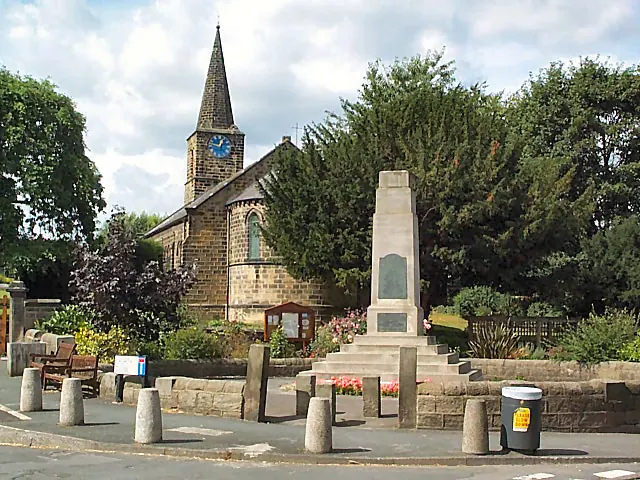
© David Spencer · Geograph · CC BY-SA 2.0
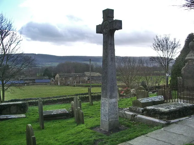
© Alexander P Kapp · Geograph · CC BY-SA 2.0
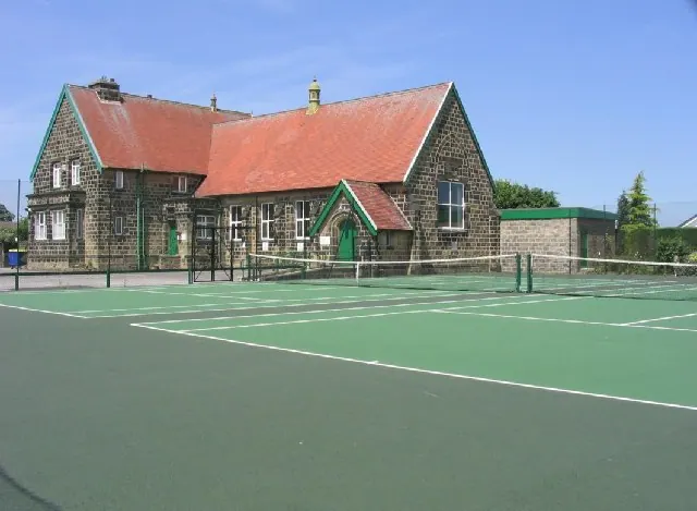
© Graham Firth · Geograph · CC BY-SA 2.0
Images © their respective photographers, licensed under CC BY-SA 2.0 and reused here with attribution. Photographs depict listed buildings, churches and monuments near this settlement and may show neighbouring villages.
Data derived from the Open Domesday project (opendomesday.org), based on the Domesday Book dataset compiled by Professor J.J.N. Palmer and team. The Domesday Book (1086) is in the public domain.
Found an inaccuracy? [email protected]