Bramham in the Domesday Book (1086)
Bramham is named in the Domesday Book, compiled by Norman commissioners in 1086, entered under the hundred of Barkston in Yorkshire.
Other Settlements in Barkston
- Barkston
- Barlow
- Birkin
- Brayton
- Burton [Hall]
- Camblesforth
- Carlton
- Clifford
- Drax
- Fairburn
- Grimston [Grange]
- Hambleton
- Hazelwood [Castle]
- Hunchilhuse
The Meaning of the Name
The name Bramham is of Anglo-Saxon origin. Its final element derives from the Old English word hām, a homestead or village. The first element is most likely a personal name or an early descriptive term, now difficult to recover with certainty. Taken together the name probably meant something close to ‘a homestead’.
Remarkably, the name has changed little since 1086, when the Domesday scribes wrote it as Bramham.
Listed Buildings Near Bramham
Historic England records 19 listed buildings within about a mile of Bramham. Listing protects structures of special architectural or historic interest, graded I (exceptional), II* (particularly important) and II.
Grade II*
- Bramham Biggin - 0.39 km
- Church of All Saints - 0.57 km
Grade II
- Bramham Lodge - 0.15 km
- Old Fox Cottage - 0.18 km
- Bowcliffe Hall and Attached Screen Walls - 0.25 km
- Chapel in Garden Approximately 50 Metres West of Bowcliffe Hall - 0.28 km
- Bramham War Memorial - 0.43 km
- Heygate Farmhouse - 0.47 km
- Manor House - 0.48 km
- Carlton Cottage Carlton House - 0.48 km
- Hillside - 0.48 km
- Old Malt Kiln - 0.52 km
- Stable Block Linked to North Side of Wellhill Farmhouse - 0.54 km
- East Lodge Cottages - 0.54 km
- Percy Cross, Medieval Stone Memorial - 0.59 km
- Garden Folly Approximately 20 Metres East of Old Hall House - 0.66 km
- Old Hall House - 0.67 km
- Windmill - 0.97 km
- North Lodge with attached screen wall - 1.1 km
Bramham Today
Today Bramham lies within the administrative area of Bramham cum Oglethorpe, and the settlement recorded a population of 1,650 at recent figures. Nine and a half centuries separate that figure from the small rural community the Domesday survey recorded here in 1086.
Read more about modern Bramham on Wikipedia .
Nearby Domesday Settlements
Other places recorded in the 1086 survey within a few miles:
- Wothersome - 2.0 km W
- Clifford - 2.0 km N
- Monk Hay Stile - 2.2 km SW
- Oglethorpe Hall - 2.8 km NE
- Cowthwaite - 3.0 km S
- Toulston - 3.6 km NE
Heritage Around Bramham
Photographs of churches, listed buildings and monuments in the vicinity, contributed by volunteers to the Geograph project and reused here under a Creative Commons licence.
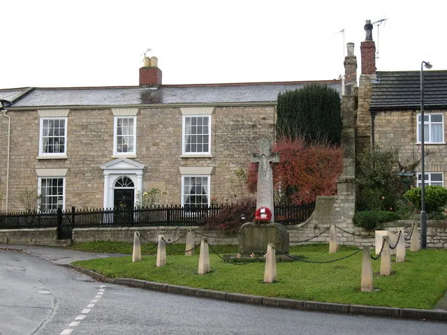
© Gordon Hatton · Geograph · CC BY-SA 2.0
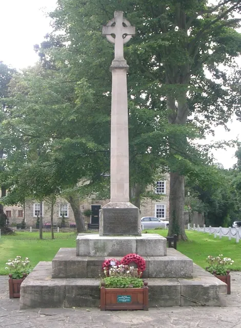
© Betty Longbottom · Geograph · CC BY-SA 2.0
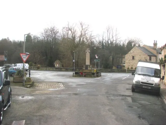
© Bill Henderson · Geograph · CC BY-SA 2.0
Images © their respective photographers, licensed under CC BY-SA 2.0 and reused here with attribution. Photographs depict listed buildings, churches and monuments near this settlement and may show neighbouring villages.
Data derived from the Open Domesday project (opendomesday.org), based on the Domesday Book dataset compiled by Professor J.J.N. Palmer and team. The Domesday Book (1086) is in the public domain.
Found an inaccuracy? [email protected]