Braithwell in the Domesday Book (1086)
Braithwell is named in the Domesday Book, compiled by Norman commissioners in 1086, entered under the hundred of Strafforth in Yorkshire.
Other Settlements in Strafforth
- Adwick [le Street]
- Adwick [upon Dearne]
- Armthorpe
- Aston
- Attercliffe
- Auckley
- Aughton [Hall]
- Austerfield
- Balby
- Barnbrough
- Barnby [Dun]
- Bentley
- Bilham [House]
- Billingley
The Meaning of the Name
The name Braithwell is of Anglo-Saxon origin. Its final element derives from the Old English word wella, a spring or stream. The first element is most likely a personal name or an early descriptive term, now difficult to recover with certainty. Taken together the name probably meant something close to ‘a spring’.
Remarkably, the name has changed little since 1086, when the Domesday scribes wrote it as Braithwell.
Listed Buildings Near Braithwell
Historic England records 15 listed buildings within about a mile of Braithwell. Listing protects structures of special architectural or historic interest, graded I (exceptional), II* (particularly important) and II.
Grade II*
- Church of St James - 0.45 km
Grade II
- Dovecote approximately 50 metres to west of Manor House - 0.35 km
- Manor House - 0.4 km
- Headstone to Anne Brook Situated Approximately 11 Metres to South West of Porch to Church of St James - 0.42 km
- 3 Chest Tombs Situated Approximately 6, 10 and 13 Metres to South West of Porch to Church of St James Sw of Porch of Church of St James* - 0.42 km
- Grave Slab to Sheppard and Jubb Families Situated Immediately South of Aisle to Church of St James - 0.45 km
- Milestone at Junction With Ashton Lane and Maltby Lane - 0.47 km
- Village Cross (At Junction With Holywell Lane and Maltby Lane - 0.48 km
- Front Gatepiers to the Old Hall Farmhouse - 0.49 km
- The Old Hall Farmhouse and Hall Farmhouse - 0.5 km
- Old School House (Now Braithwell Darby and Joan Club and Wrvs Rooms) - 0.51 km
- Rotherwood - 0.52 km
- War Memorial at Junction With Church Grove - 0.55 km
- Remains of Moat Hall - 0.84 km
- Manor House - 1.02 km
Scheduled Monuments Near Braithwell
Scheduled monuments are nationally important archaeological sites given legal protection. 2 lie within roughly a mile of Braithwell:
- Standing cross at the junction of Holywell Lane with High Street, Maltby Lane and Ashton Lane - 0.48 km
- Moat Hall moated site and site of external ancillary buildings, Braithwell - 0.84 km
Braithwell Today
Today Braithwell lies within the administrative area of Doncaster, and the settlement recorded a population of 1,097 at the 2021 census. Nine and a half centuries separate that figure from the small rural community the Domesday survey recorded here in 1086.
Read more about modern Braithwell on Wikipedia .
Nearby Domesday Settlements
Other places recorded in the 1086 survey within a few miles:
- Clifton - 2.2 km NW
- Hellaby - 2.8 km SW
- Hooton Levitt - 3.0 km S
- Maltby - 3.0 km S
- Old Edlington - 3.2 km N
- Bramley - 3.6 km SW
Heritage Around Braithwell
Photographs of churches, listed buildings and monuments in the vicinity, contributed by volunteers to the Geograph project and reused here under a Creative Commons licence.
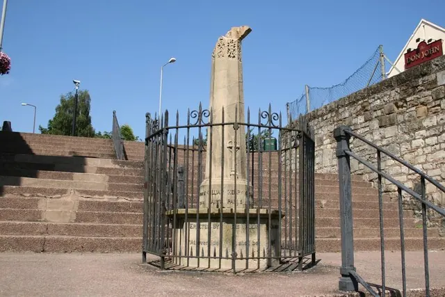
© Richard Croft · Geograph · CC BY-SA 2.0
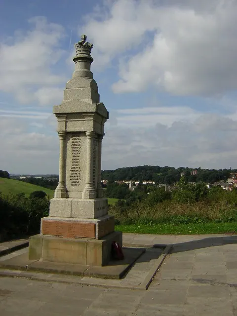
© Richard Croft · Geograph · CC BY-SA 2.0
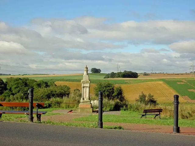
© Steve Fareham · Geograph · CC BY-SA 2.0
Images © their respective photographers, licensed under CC BY-SA 2.0 and reused here with attribution. Photographs depict listed buildings, churches and monuments near this settlement and may show neighbouring villages.
Data derived from the Open Domesday project (opendomesday.org), based on the Domesday Book dataset compiled by Professor J.J.N. Palmer and team. The Domesday Book (1086) is in the public domain.
Found an inaccuracy? [email protected]