Bradwell in the Domesday Book (1086)
The settlement of Bradwell is recorded in William I’s Domesday survey of 1086, entered under the hundred of Blackwell in Derbyshire. The survey assessed Bradwell at 29.9 carucates of taxable land.
At the time of the survey, Bradwell supported a recorded population of 54 villagers, working 33 ploughs between them.
By 1086 Bradwell was worth 12 shillings, up from 6 shillings before the Conquest – a sign this community came through the Conquest without being ruined.
Resources Recorded at Bradwell (1086)
- Woodland: 8 leagues * 3 leagues + 4 furlongs mixed measures
Other Settlements in Blackwell
- Abney
- Ashford [-in-the-Water]
- Aston
- Bakewell
- Bamford
- Baslow
- Beeley
- Birchills
- Birchover
- Blackwell
- Bubnell
- Burley
- Burton
- Calver
The Meaning of the Name
The name Bradwell is of Anglo-Saxon origin. Its final element derives from the Old English word wella, a spring or stream. The first element is most likely a personal name or an early descriptive term, now difficult to recover with certainty. Taken together the name probably meant something close to ‘a spring’.
Remarkably, the name has changed little since 1086, when the Domesday scribes wrote it as Bradwell.
Listed Buildings Near Bradwell
Historic England records 15 listed buildings within about a mile of Bradwell. Listing protects structures of special architectural or historic interest, graded I (exceptional), II* (particularly important) and II.
Grade II
- Church of St Barnabas - 0.4 km
- Joiners Cottage - 0.42 km
- The White Hart Inn - 0.43 km
- Lyndale House, coach house and pigsty - 0.44 km
- Stanley House and Attached Stableblock - 0.45 km
- Sidney Cottage - 0.47 km
- Methodist Church - 0.47 km
- Brook House - 0.48 km
- Scout Headquarters - 0.57 km
- Smalldale Hall and Smalldale Hall Farmhouse and Attached Barn - 0.91 km
- Brough House - 1.08 km
- Barn to South East of Brough House - 1.09 km
- Eccles House Farmhouse - 1.21 km
- Burghwash Farmhouse and Attached Outbuilding - 1.22 km
- Range of barns to north of Eccles House Farmhouse - 1.23 km
Scheduled Monuments Near Bradwell
Scheduled monuments are nationally important archaeological sites given legal protection. 3 lie within roughly a mile of Bradwell:
- The Grey Ditch - 0.1 km
- Platform cairn south of Hill Rake - 1.18 km
- Navio Roman fort and vicus - 1.35 km
Bradwell Today
Today Bradwell lies within the administrative area of Derbyshire Dales, and the settlement recorded a population of 1,368 at the 2021 census. Nine and a half centuries separate that figure from the small rural community the Domesday survey recorded here in 1086.
Read more about modern Bradwell on Wikipedia .
Nearby Domesday Settlements
Other places recorded in the 1086 survey within a few miles:
Heritage Around Bradwell
Photographs of churches, listed buildings and monuments in the vicinity, contributed by volunteers to the Geograph project and reused here under a Creative Commons licence.
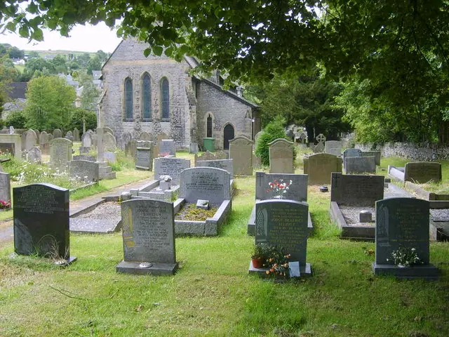
© William Metcalfe · Geograph · CC BY-SA 2.0
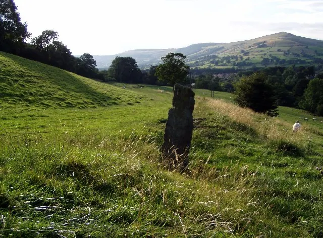
© Mark Dunn · Geograph · CC BY-SA 2.0
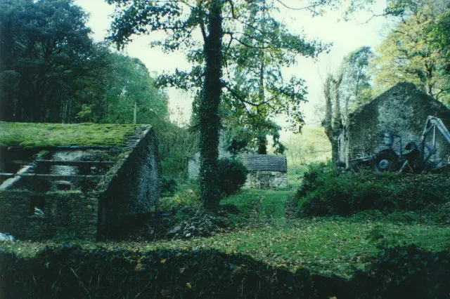
© Humphrey Bolton · Geograph · CC BY-SA 2.0
Images © their respective photographers, licensed under CC BY-SA 2.0 and reused here with attribution. Photographs depict listed buildings, churches and monuments near this settlement and may show neighbouring villages.
Data derived from the Open Domesday project (opendomesday.org), based on the Domesday Book dataset compiled by Professor J.J.N. Palmer and team. The Domesday Book (1086) is in the public domain.
Found an inaccuracy? [email protected]