Bradley in the Domesday Book (1086)
Bradley appears in the Domesday Book of 1086, entered under the hundred of Morleystone in Derbyshire.
Other Settlements in Morleystone
- Breadsall
- Breaston
- Cellesdene
- Chaddesden
- Codnor
- Crich
- Denby
- Derby
- Draycott
- Duffield
- Hallam
- Heanor
- Herdebi
- Holbrook
The Meaning of the Name
The name Bradley is of Anglo-Saxon origin. Its final element derives from the Old English word lēah, a woodland clearing or glade. The first element is most likely a personal name or an early descriptive term, now difficult to recover with certainty. Taken together the name probably meant something close to ‘a clearing’.
Remarkably, the name has changed little since 1086, when the Domesday scribes wrote it as Bradley.
Listed Buildings Near Bradley
Historic England records 127 listed buildings within about a mile of Bradley. Listing protects structures of special architectural or historic interest, graded I (exceptional), II* (particularly important) and II.
Grade II
- 43 and 45, Park Side - 0.22 km
- Church of St John the Baptist - 0.36 km
- Almshouses - 0.37 km
- Gate Piers and Garden Wall to Spencer Road at the Lawn and Lawn Cottage - 0.39 km
- Lawn Cottage the Lawn - 0.42 km
- 12 and 14, Lander Lane and 1 The Butts - 0.45 km
- The Nag’s Head Public House - 0.49 km
- Lodge at Field Head House - 0.52 km
- Manor Farmhouse - 0.53 km
- 16 to 20, Market Place - 0.53 km
- The Fountain - 0.53 km
- 1, High Street - 0.54 km
- Two Sets Gate Piers, Small Gate and Garden Wall at Numbers 112 and 114 - 0.55 km
- 36, Market Place - 0.56 km
- Parish Church of St Peter - 0.56 km
- The Lawn - 0.56 km
- 37-40, Market Place - 0.57 km
- No. 24, QUEEN STREET - 0.6 km
- 7 and 9, Cheapside - 0.62 km
- The Unitarian Sunday School - 0.64 km
- 20, Kilbourne Road - 0.64 km
- 11-21, Cheapside - 0.65 km
- Churchyard Walls, Piers and Gates at Church of St Peter - 0.65 km
- Pottery Methodist Church and adjoining schoolroom - 0.66 km
…and 103 more listed structures in the area.
Nearby Domesday Settlements
Other places recorded in the 1086 survey within a few miles:
Heritage Around Bradley
Photographs of churches, listed buildings and monuments in the vicinity, contributed by volunteers to the Geograph project and reused here under a Creative Commons licence.
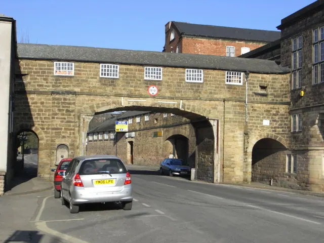
© Chris Allen · Geograph · CC BY-SA 2.0
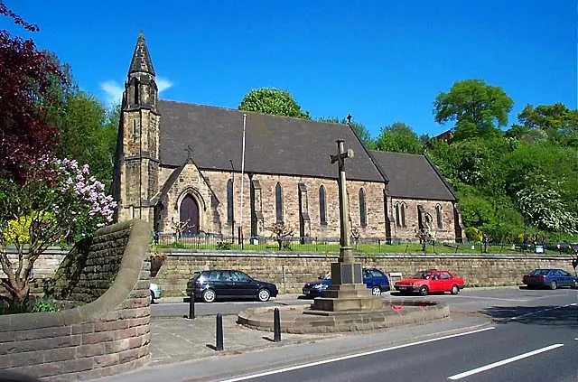
© Garth Newton · Geograph · CC BY-SA 2.0
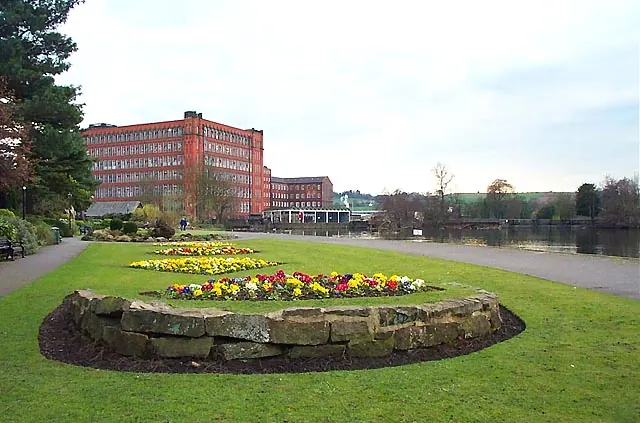
© Garth Newton · Geograph · CC BY-SA 2.0
Images © their respective photographers, licensed under CC BY-SA 2.0 and reused here with attribution. Photographs depict listed buildings, churches and monuments near this settlement and may show neighbouring villages.
Data derived from the Open Domesday project (opendomesday.org), based on the Domesday Book dataset compiled by Professor J.J.N. Palmer and team. The Domesday Book (1086) is in the public domain.
Found an inaccuracy? [email protected]