Bradford in the Domesday Book (1086)
Bradford is named in the Domesday Book, compiled by Norman commissioners in 1086, entered under the hundred of Morley in Yorkshire.
Other Settlements in Morley
- Allerton
- Armley
- Batley
- Beeston
- Bolton
- Bowling
- Bramley
- Calverley
- Carlton
- Chellow [Grange]
- Clayton
- Clifton
- Cruttonstall
- Dewsbury
The Meaning of the Name
The name Bradford is of Anglo-Saxon origin. Its final element derives from the Old English word ford, a river crossing. The first element is most likely a personal name or an early descriptive term, now difficult to recover with certainty. Taken together the name probably meant something close to ‘a ford’.
Remarkably, the name has changed little since 1086, when the Domesday scribes wrote it as Bradford.
Listed Buildings Near Bradford
Historic England records 263 listed buildings within about a mile of Bradford. Listing protects structures of special architectural or historic interest, graded I (exceptional), II* (particularly important) and II.
Grade I
- Cathedral Church of St Peter - 0.24 km
Grade II
- 15 AND 17, CANAL ROAD BD1 (See details for further address information) - 0.03 km
- 14 Mill Street, with gate piers and railings - 0.03 km
- The Lloyds Building - 0.03 km
- 16 and 18, Mill Street Bd1 - 0.04 km
- 18 AND 20, CANAL ROAD BD1 (See details for further address information) - 0.05 km
- 29, CANAL ROAD (See details for further address information) - 0.07 km
- Bolton House - 0.12 km
- Bradford College, Cathedral Building - 0.18 km
- General Post Office - 0.23 km
- 1, Barkerend Road - 0.24 km
- Statue to W E Forster - 0.24 km
- Corner Block of the Midland Hotel - 0.26 km
- Manor Buildings - 0.27 km
- 8-20, MANOR ROW BD1 (See details for further address information) - 0.29 km
- 13, Currer Street - 0.29 km
- 19, Cheapside - 0.3 km
- 26, Kirkgate - 0.31 km
- 72 Vicar Lane and 9 Currer Street - 0.31 km
- 1-11, MANOR ROW (See details for further address information) - 0.31 km
- 13 and 15, Peckover Street Bd1 - 0.31 km
- 6, Piccadilly Bd1 - 0.32 km
- 8, Piccadilly Bd1 - 0.32 km
- Registry Office - 0.32 km
…and 239 more listed structures in the area.
Nearby Domesday Settlements
Other places recorded in the 1086 survey within a few miles:
- Bowling - 1.4 km SE
- Bolton - 2.0 km N
- Wibsey - 3.2 km S
- Eccleshill - 3.6 km NE
- North Bierley - 4.1 km S
- Chellow Grange - 4.5 km NW
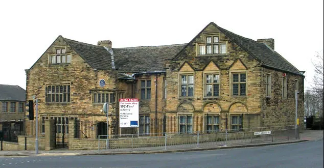
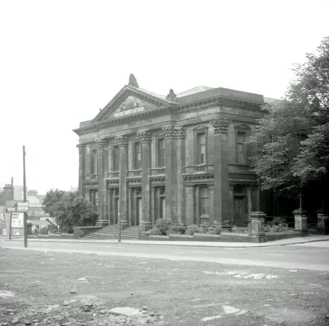
Heritage Around Bradford
Photographs of churches, listed buildings and monuments in the vicinity, contributed by volunteers to the Geograph project and reused here under a Creative Commons licence.
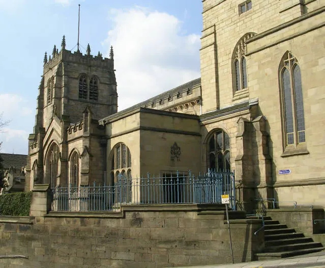
© Betty Longbottom · Geograph · CC BY-SA 2.0
© Betty Longbottom · Geograph · CC BY-SA 2.0
© Alan Longbottom · Geograph · CC BY-SA 2.0
Images © their respective photographers, licensed under CC BY-SA 2.0 and reused here with attribution. Photographs depict listed buildings, churches and monuments near this settlement and may show neighbouring villages.
Data derived from the Open Domesday project (opendomesday.org), based on the Domesday Book dataset compiled by Professor J.J.N. Palmer and team. The Domesday Book (1086) is in the public domain.
Found an inaccuracy? [email protected]