Bradbourne in the Domesday Book (1086)
The settlement of Bradbourne is recorded in William I’s Domesday survey of 1086, entered under the hundred of Hamston in Derbyshire.
Other Settlements in Hamston
- Alsop [-en-le-Dale]
- Ashbourne
- Atlow
- Ballidon
- Bonsall
- Brassington
- Broadlowash
- Callow
- Carsington
- Cowley
- Cromford
- Elton
- Hanson [Grange]
- Hartington
The Meaning of the Name
The origin of the name Bradbourne is not securely established from its modern form alone; like many settlement names in the North it likely combines an Old English or Old Norse personal name with a landscape term.
Remarkably, the name has changed little since 1086, when the Domesday scribes wrote it as Bradbourne.
Listed Buildings Near Bradbourne
Historic England records 16 listed buildings within about a mile of Bradbourne. Listing protects structures of special architectural or historic interest, graded I (exceptional), II* (particularly important) and II.
Grade I
- Church of All Saints - 0.36 km
Grade II*
- Bradbourne Hall - 0.38 km
- Horsley Farmhouse - 1.13 km
Grade II
- Cross (200 Metres South of Church) - 0.33 km
- The Old Parsonage - 0.33 km
- Sundial (10 Metres South of Church) - 0.35 km
- Sundial 10 Yards South of Bradbourne Hall - 0.36 km
- Bradbourne Hall Stables - 0.41 km
- Bradbourne Mill House - 0.54 km
- Bradbourne Mill - 0.57 km
- Bradbourne Mill Outbuildings to South of Mill - 0.58 km
- Outbuilding to East of Whitemeadow Farmhouse - 0.91 km
- Whitemeadow Farmhouse - 0.93 km
- The Bank - 1.24 km
- Crowtrees Farmhouse and Outbuildings - 1.27 km
- Barn to North East of Lea Hall Farmhouse - 1.27 km
Scheduled Monuments Near Bradbourne
Scheduled monuments are nationally important archaeological sites given legal protection. 5 lie within roughly a mile of Bradbourne:
- Anglian high cross in the churchyard of All Saints’ Church - 0.34 km
- Standing cross in the churchyard of All Saints’ Church - 0.36 km
- Bank Top bowl barrow - 1.23 km
- Bank Top oval barrow - 1.25 km
- Medieval settlement, including fishpond and open field system, immediately north and 240m south of Lea Cottage Farm - 1.26 km
Bradbourne Today
Today Bradbourne lies within the administrative area of Derbyshire Dales, and the settlement recorded a population of 110 at the 2021 census. Nine and a half centuries separate that figure from the small rural community the Domesday survey recorded here in 1086.
Read more about modern Bradbourne on Wikipedia .
Nearby Domesday Settlements
Other places recorded in the 1086 survey within a few miles:
- Ballidon - 2.0 km N
- Kniveton - 2.2 km SE
- Parwich - 2.8 km NW
- Tissington - 3.0 km W
- Brassington - 3.6 km NE
- Fenny Bentley - 3.6 km SW
Heritage Around Bradbourne
Photographs of churches, listed buildings and monuments in the vicinity, contributed by volunteers to the Geograph project and reused here under a Creative Commons licence.
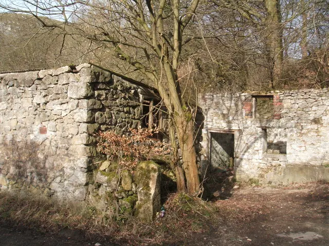
© Peter Barr · Geograph · CC BY-SA 2.0
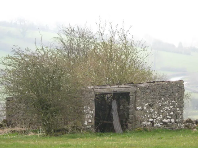
© Anonymous · Geograph · CC BY-SA 2.0
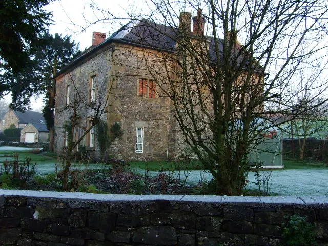
© John Poyser · Geograph · CC BY-SA 2.0
Images © their respective photographers, licensed under CC BY-SA 2.0 and reused here with attribution. Photographs depict listed buildings, churches and monuments near this settlement and may show neighbouring villages.
Data derived from the Open Domesday project (opendomesday.org), based on the Domesday Book dataset compiled by Professor J.J.N. Palmer and team. The Domesday Book (1086) is in the public domain.
Found an inaccuracy? [email protected]