Bracewell in the Domesday Book (1086)
Bracewell is named in the Domesday Book, compiled by Norman commissioners in 1086, entered under the hundred of Craven in Yorkshire.
Other Settlements in Craven
- Addingham
- Airton
- Anley
- Appletreewick
- Arncliffe
- Arnford
- Barnoldswick
- Bashall [Eaves]
- Battersby [Barn]
- Beamsley
- Birkby [Hall]
- Bogeuurde
- Bolton [Abbey]
- Bolton [by Bowland]
The Meaning of the Name
The name Bracewell is of Anglo-Saxon origin. Its final element derives from the Old English word wella, a spring or stream. The first element is most likely a personal name or an early descriptive term, now difficult to recover with certainty. Taken together the name probably meant something close to ‘a spring’.
Remarkably, the name has changed little since 1086, when the Domesday scribes wrote it as Bracewell.
Listed Buildings Near Bracewell
Historic England records 10 listed buildings within about a mile of Bracewell. Listing protects structures of special architectural or historic interest, graded I (exceptional), II* (particularly important) and II.
Grade I
- Church of St Michael - 0.29 km
Grade II
- Hopwood Farmhouse - 0.23 km
- Hopwood House - 0.24 km
- Barn Incorporating Remains of King Henry’s Parlour, Bracewell Hall - 0.34 km
- New House Farmhouse - 0.56 km
- Yarlside Farmhouse and Attached Barn - 1.03 km
- Lane End Farmhouse - 1.08 km
- Milestone in South East Corner of Garden at 245 (Lane End Farmhouse) - 1.1 km
- Fosters Arms Public House - 1.2 km
- Turpit Gate House Farmhouse - 1.27 km
Scheduled Monuments Near Bracewell
Scheduled monuments are nationally important archaeological sites given legal protection. 1 lies within roughly a mile of Bracewell:
Bracewell Today
Today Bracewell lies within the administrative area of Bracewell and Brogden.
Nearby Domesday Settlements
Other places recorded in the 1086 survey within a few miles:
- Crooks House - 1.0 km N
- Stock - 1.0 km N
- Horton - 2.2 km NW
- Barnoldswick - 2.2 km SE
- Painley - 2.8 km NW
- East and West Marton - 3.6 km NE
Heritage Around Bracewell
Photographs of churches, listed buildings and monuments in the vicinity, contributed by volunteers to the Geograph project and reused here under a Creative Commons licence.
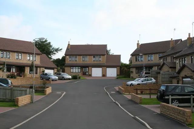
© Dr Neil Clifton · Geograph · CC BY-SA 2.0
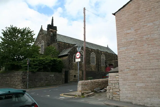
© Dr Neil Clifton · Geograph · CC BY-SA 2.0
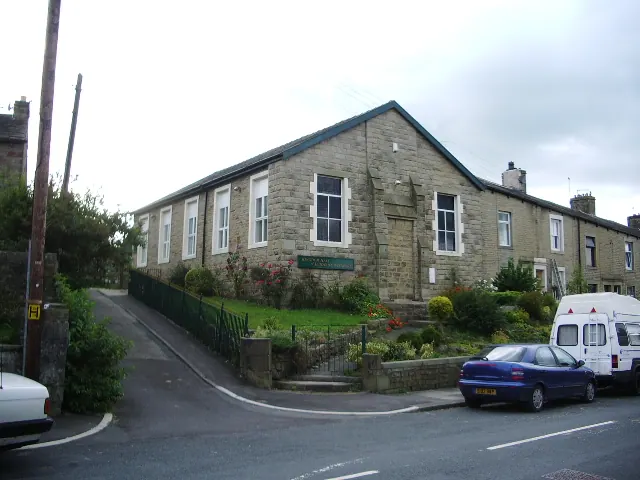
© Alexander P Kapp · Geograph · CC BY-SA 2.0
Images © their respective photographers, licensed under CC BY-SA 2.0 and reused here with attribution. Photographs depict listed buildings, churches and monuments near this settlement and may show neighbouring villages.
Data derived from the Open Domesday project (opendomesday.org), based on the Domesday Book dataset compiled by Professor J.J.N. Palmer and team. The Domesday Book (1086) is in the public domain.
Found an inaccuracy? [email protected]