Boythorpe in the Domesday Book (1086)
Boythorpe is named in the Domesday Book, compiled by Norman commissioners in 1086, entered under the hundred of Scarsdale in Derbyshire. The survey assessed Boythorpe at 9 carucates of taxable land.
Most significantly, Boythorpe is recorded as waste in 1086 - land rendered uninhabitable and valueless. Before the Conquest, the settlement had been assessed at 2 shillings; by 1086 that value had collapsed entirely. This pattern - prosperity before 1066, devastation by 1086 - is the unmistakable signature of the Harrying of the North , William I’s campaign of systematic destruction across Yorkshire in 1069–70.
Other Settlements in Scarsdale
- Alfreton
- Ashover
- Barlborough
- Barlow
- Beighton
- Blingsby
- Bolsover
- Bramley [Vale]
- Brimington
- Calow
- Chesterfield
- Clowne
- Dore
- Dronfield
The Meaning of the Name
The name Boythorpe is of Scandinavian origin. Its final element derives from the Old Norse word þorp, an outlying or secondary farmstead. The first element is most likely a personal name or an early descriptive term, now difficult to recover with certainty. Taken together the name probably meant something close to ‘a outlying farm’.
Names of this type are a fingerprint of Scandinavian settlement: they cluster across the old Danelaw, where Norse-speaking settlers renamed or founded villages from the late 9th century onward.
Remarkably, the name has changed little since 1086, when the Domesday scribes wrote it as Boythorpe.
Listed Buildings Near Boythorpe
Historic England records 9 listed buildings within about a mile of Boythorpe. Listing protects structures of special architectural or historic interest, graded I (exceptional), II* (particularly important) and II.
Grade II
- Stud Farm Cottages - 0.42 km
- Southern Garden Wall at Numbers 1 and 2 (Stud Farm Cottages) - 0.42 km
- Birdholme House [includes offices of H Camm (Number 3) and part known as the maisonette (centre) and part known as The Flat (northern end)] - 0.96 km
- Walton Hall - 1.03 km
- Gates, Piers and Railings at Entrance to Queen’s Park - 1.23 km
- Range of Outbuildings to the North of Birdholme Farmhouse - 1.26 km
- Conservatory at Queens Park - 1.26 km
- Bandstand at Queens Park - 1.29 km
- Birdholme Farmhouse - 1.3 km
Boythorpe Today
Today Boythorpe lies within the administrative area of Chesterfield.
Read more about modern Boythorpe on Wikipedia .
Nearby Domesday Settlements
Other places recorded in the 1086 survey within a few miles:
- Walton - 2.0 km W
- Chesterfield - 2.2 km NE
- Greyhirst - 2.2 km SE
- Wingerworth - 2.2 km SE
- Calow - 3.6 km NE
- Tapton - 3.6 km NE
Heritage Around Boythorpe
Photographs of churches, listed buildings and monuments in the vicinity, contributed by volunteers to the Geograph project and reused here under a Creative Commons licence.
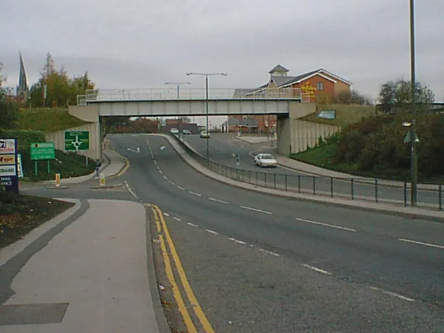
© Alan Heardman · Geograph · CC BY-SA 2.0
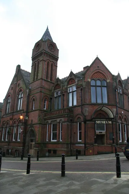
© Chris Allen · Geograph · CC BY-SA 2.0
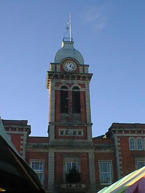
© Alan Heardman · Geograph · CC BY-SA 2.0
Images © their respective photographers, licensed under CC BY-SA 2.0 and reused here with attribution. Photographs depict listed buildings, churches and monuments near this settlement and may show neighbouring villages.
Data derived from the Open Domesday project (opendomesday.org), based on the Domesday Book dataset compiled by Professor J.J.N. Palmer and team. The Domesday Book (1086) is in the public domain.
Found an inaccuracy? [email protected]